Blank map of Venezuela
The outline, free as a PNG, SVG or PDF. Label it, colour it in or drop it into a slide.
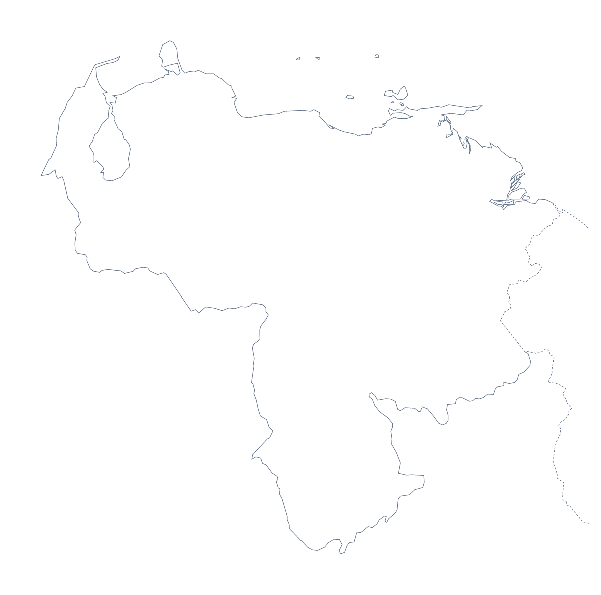
Using a blank map of Venezuela
Venezuela's blank map is most often wanted for a handout or a slide of your own. This page gives you the shape as a file. Outline only is the country on its own, and With borders draws its 25 administrative areas. Each version comes as a PNG, an SVG or a PDF.
A page in your own document
Put the With borders PNG on a page of your word processor and set your text beside it: a market note, a field report, a revision handout. Anzoátegui, Lara, Monagas and Nueva Esparta are four of the 25 areas, and the list further down this page gives every name for your captions. The transparent PNG lets a tinted page show through the shapes, and locking the proportions as you resize keeps the outline true.
A slide or a design
On a slide, the transparent PNG lets your theme colour show around Venezuela, with a title or a few figures beside it. The SVG gives a designer something to restyle: thicken the outline, colour the 25 areas in a report palette or turn the shape into a cover graphic.
Which file
Take the PNG for worksheets and slides, the SVG for design tools or any size you scale up, and the PDF for A4 or Letter paper. With borders suits captions, since each area is its own shape; Outline only suits a silhouette or a cover graphic. For names, colour or a title, choose Customise this map, or use the editable map of Venezuela. The printable map of Venezuela covers black and white.
How to do it in MapMaker
- Choose With borders to show the 25 administrative areas, or Outline only for the plain shape.
- Download the PNG for a worksheet or slide, or the SVG for a design tool.
- Insert the PNG in your document and resize it from a corner.
- Take the area names for your captions from the list on this page.
- Choose Customise this map to add names, colours or a title.
The 25 administrative areas on the map
A key for labelling the map by hand.
- Amazonas
- Anzoátegui
- Apure
- Aragua
- Barinas
- Bolívar
- Capital
- Carabobo
- Cojedes
- Delta Amacuro
- Falcón
- Federal Dependencies
- Guárico State
- Lara
- Merida
- Miranda
- Monagas
- Nueva Esparta
- Portuguesa
- Sucre
- Tachira
- Trujillo
- Vargas state
- Yaracuy
- Zulia
Facts about Venezuela
Venezuela is in South America. The capital is Caracas. The population is about 29 million (2019 estimate). Venezuela has an area of about 917,000 km². The largest cities are Caracas, Maracaibo, Valencia, Barquisimeto and Maracay. It borders Brazil, Colombia and Guyana. The map divides it into 25 administrative areas.
Maps of neighbouring places
Questions people ask
What is the difference between Outline only and With borders?
Outline only is the shape of Venezuela by itself. With borders draws the lines between its 25 administrative areas. Neither version has any names on it.
Does the PNG have a transparent background?
Yes. Everything around the outline is see-through, so the map takes on the colour of the slide, worksheet box or poster it sits on.
How many administrative areas does the blank map show?
The With borders version shows 25 administrative areas as separate shapes. The list further down this page names them all and can be used as an answer key.
Can I print the blank map?
Yes. The PDF comes for A4 and Letter and prints at 100%. For black and white or other print choices, the printable page of Venezuela has them.