Blank map of Tunisia
The outline, free as a PNG, SVG or PDF. Label it, colour it in or drop it into a slide.
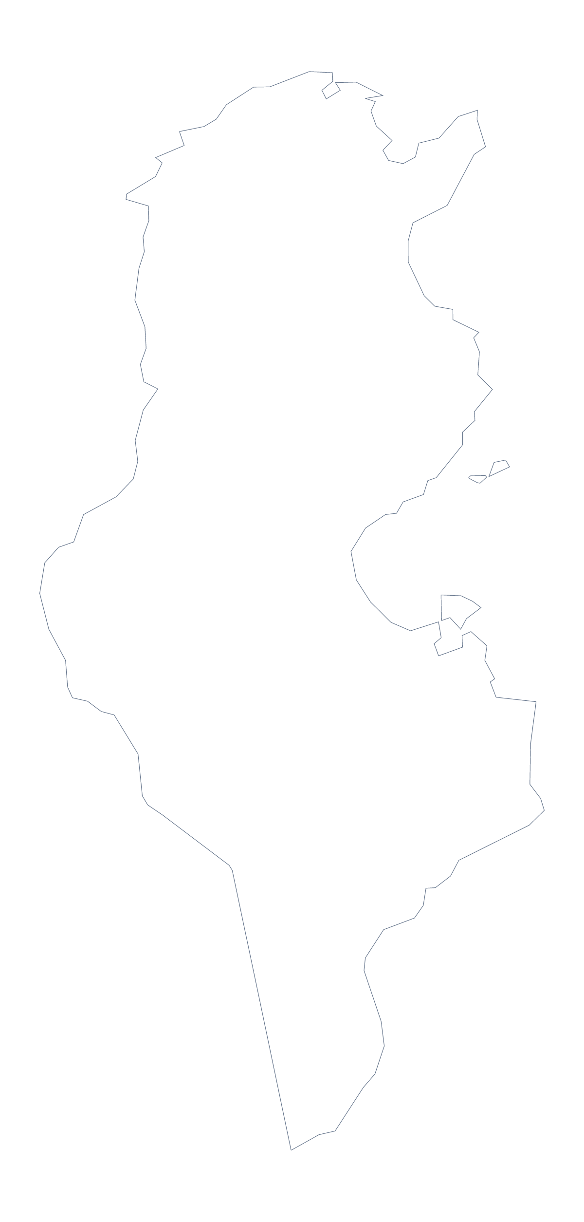
Using a blank map of Tunisia
Tunisia's blank map is mostly taken to be put into something else: a slide on a market, a worksheet for a class, a poster for an event. You can have the shape alone with Outline only, or the shape with its 23 administrative areas with With borders. Neither has names, and each comes as a PNG, an SVG and a PDF.
Picking out areas
For a regional page, take the With borders PNG, drop it into a document and number a handful of areas. Ben Arous, Manouba and Zaghouan make a good first set, with Gafsa, Kebili and Tataouine as a second; write a note for each number and take the spellings from the list below.
A slide with only a few call-outs can use the Outline only version instead.
In a slide or a design
Set the PNG on a slide with your brand colour behind it; the transparent background leaves just the shape. One area can take a fill in the SVG while the others stay pale, so a slide about one region shows where it sits at once. In Illustrator, Inkscape or Figma the lines scale to any size, which suits a poster or a handout.
Choosing between them
The political blank map of Tunisia is With borders. Outline only is the better pick for a silhouette, a logo sketch or very young children. PNG suits documents and slides, SVG suits design tools and PDF suits A4 or Letter. For black and white or print settings, go to the printable map of Tunisia, and for names or colours, choose Customise this map.
How to do it in MapMaker
- Choose With borders for the 23 areas, or Outline only for the shape of Tunisia alone.
- Download the PNG for a worksheet or slide, the SVG for a design tool or a PDF for A4 or Letter.
- Place the file on your page and resize it from a corner so its proportions hold.
- Number the areas you want to describe and spell them from the list below.
- Choose Customise this map for names, colours or a title.
The 23 administrative areas on the map
A key for labelling the map by hand.
- Beja
- Ben Arous
- Bizerte
- Gabès
- Gafsa
- Jendouba
- Kairouan
- Kasserine
- Kebili
- Kef
- Mahdia
- Manouba
- Medenine
- Monastir
- Nabeul
- Sfax
- Sidi Bouzid
- Siliana
- Sousse
- Tataouine
- Tozeur
- Tunis
- Zaghouan
Facts about Tunisia
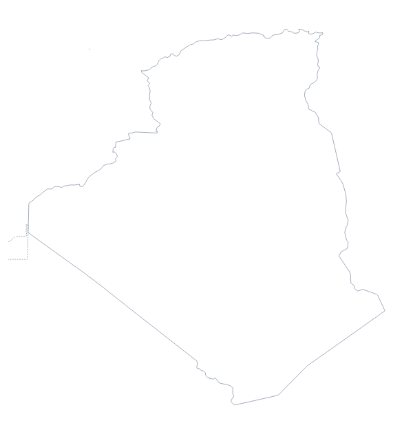
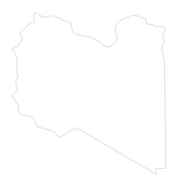
Tunisia is in Northern Africa. The capital is Tunis. The population is about 12 million (2019 estimate). Tunisia has an area of about 157,000 km². The largest cities are Tunis, Sfax, Sousse, Gabès and Zarzis. It borders Algeria and Libya. The map divides it into 23 administrative areas.
Maps of neighbouring places
Questions people ask
Is there a political blank map of Tunisia?
Yes. It is the With borders version, which draws all 23 administrative areas with no names on them. Label them from the list further down this page.
Which file should I use in a worksheet, a slide or a design?
The PNG for a worksheet or a slide, since its transparent background takes any colour behind it. The SVG for Illustrator, Inkscape or Figma. A PDF for A4 or Letter.
Is there an answer key for a labelling quiz?
Yes. The list of administrative areas below the steps names all 23 that the With borders version draws. Number the ones to find and mark answers against the list.
How is this different from the printable map of Tunisia?
This page gives the outline as a file for your own worksheet, slide or design: PNG, SVG or PDF. The printable page is about the sheet of paper, with colour or black and white and print choices.