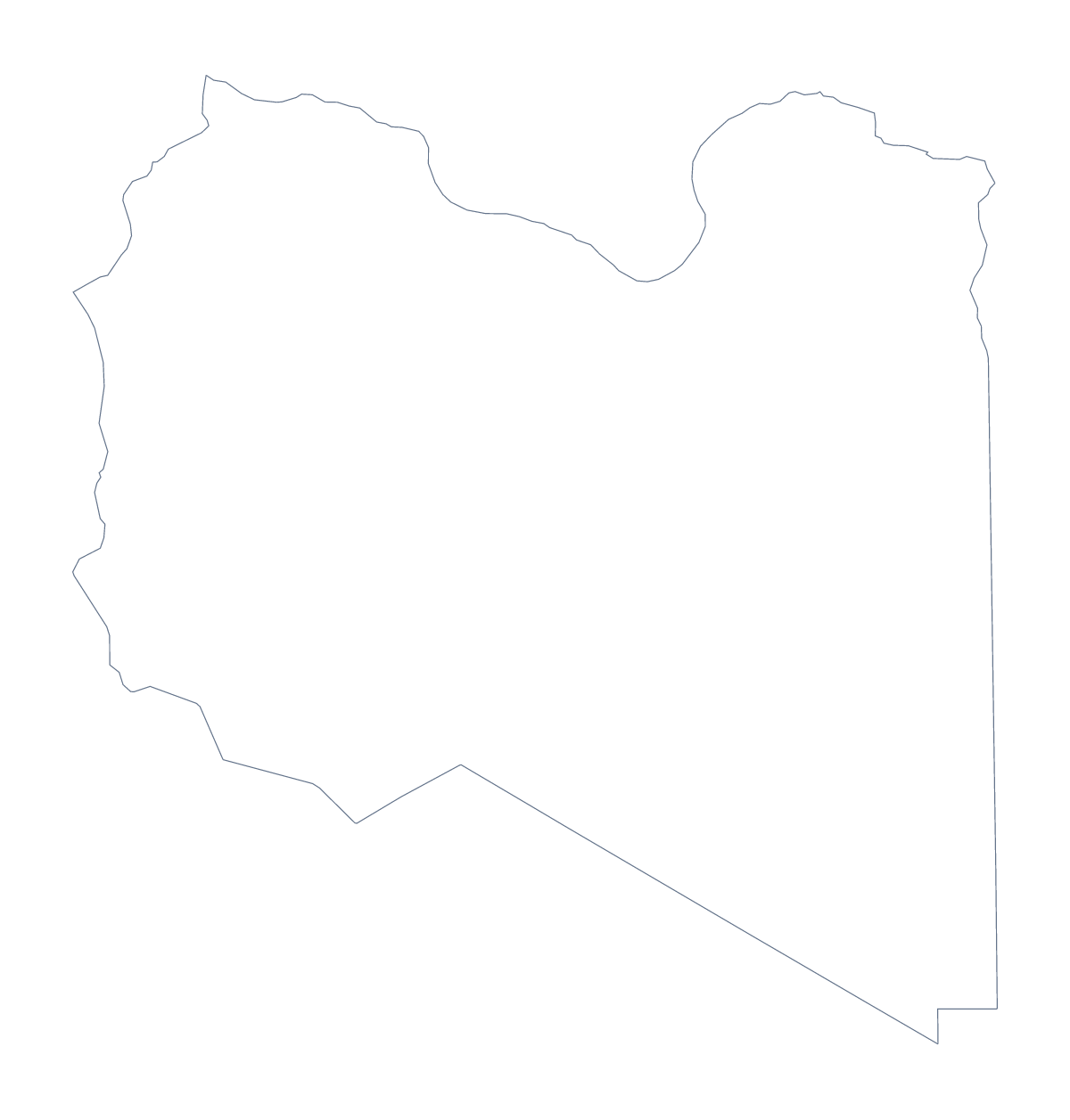
Blank map of Libya
The outline, free as a PNG, SVG or PDF. Label it, colour it in or drop it into a slide.
Using a blank map of Libya
Libya is a big shape to work with, and the two versions on this page suit different jobs. Outline only is the country with nothing inside it, good for a cover or a slide. With borders draws its 22 administrative areas, good for labelling. Each comes as a PNG, an SVG or a PDF.
Slides, covers and design
The transparent PNG sits on any slide colour, so a regional report can show Libya at one side and a few short points at the other. A designer can open the SVG in Illustrator, Inkscape or Figma, tint the areas one at a time, thicken the lines for a cover or cut the shape for a display. Because the SVG scales without blurring, one file serves a thumbnail and a poster.
Picking out areas
For a regional report, set the With borders PNG on a page and put a box beside a handful of areas, such as Murzuq, Kufra, Jufra, Sirte and Zawiya, each with a short note. The list further down this page gives the spellings. A fuller version tints every area in a key of your own, for example one colour for each group of areas the report covers together.
Which version and which file
The political blank map of Libya is the With borders version: the areas drawn in, no names. PNG goes into worksheets and slides, SVG into design tools and the PDF onto A4 or Letter as drawn. For print settings, see the printable map of Libya; for names, pins or colours on the map itself, choose Customise this map.
How to do it in MapMaker
- Choose With borders for the 22 areas, or Outline only for the shape of Libya.
- Download the PNG for a slide or worksheet, the SVG for design work or PDF, A4 or PDF, Letter.
- Place the file on your page and add a box beside each area you want to pick out.
- Spell the area names from the list further down this page.
- Choose Customise this map if the map needs names, colours or a title.
The 22 administrative areas on the map
A key for labelling the map by hand.
- Ajdabiya
- Al Qubbah
- Ash Shati
- Benghazi
- Butnan
- Ghadames
- Ghat
- Jabal al Akhdar
- Jafara
- Jufra
- Kufra
- Marj
- Misrata
- Mizdah
- Murqub
- Murzuq
- Nuqat al Khams
- Sabha
- Sirte
- Tripoli District
- Wadi al Hayaa
- Zawiya
Facts about Libya
Libya is in Northern Africa. The capital is Tripoli. The population is about 6.8 million (2019 estimate). Libya has an area of about 1,630,000 km². The largest cities are Tripoli, Banghazi, Misrata, Tubruq and Al Khums. It borders Algeria, Chad, Egypt, Niger, Sudan and Tunisia. The map divides it into 22 administrative areas.
Maps of neighbouring places
Questions people ask
Is there a political blank map of Libya?
Yes. It is the With borders version, which draws the 22 administrative areas without names. The list further down this page gives the key for checking a labelling task.
Does the PNG have a transparent background?
Yes. Only the shape of Libya is drawn, so whatever sits behind it, a slide colour or a tinted block, shows around it once you place the file.
Which file should I use in a worksheet, a slide or a design?
Take the PNG for worksheets and slides, the SVG when you want to restyle or enlarge Libya in a design tool, and the PDF to print it on A4 or Letter.
Can I show the countries around Libya?
This page draws Libya alone. Choose Customise this map and switch on Neighbours in the editor to show Algeria, Chad, Egypt, Niger, Sudan and Tunisia around it.