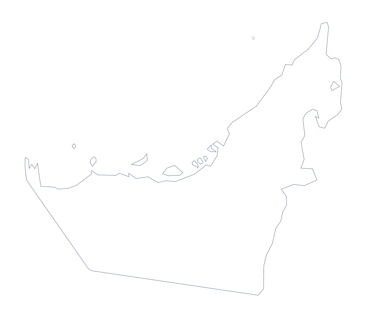
Blank map of the United Arab Emirates
The outline, free as a PNG, SVG or PDF. Label it, colour it in or drop it into a slide.
Using a blank map of the United Arab Emirates
Designers, teachers and people making reports reach for a blank map of the United Arab Emirates when they want its shape as a file to build on. There are two versions here: Outline only, and With borders, which adds the 9 administrative areas. Each comes as a PNG on a transparent background, an SVG and a PDF.
A quiz on the 9 areas
With borders is the political blank map of the United Arab Emirates, drawn with no names. In a word processor, place the PNG on a worksheet, add a number to each area and leave a line beside it for the answer. The list further down this page is the answer sheet. Because there are only 9 areas, the whole quiz fits on one side of paper, with room left for a question about Dubai, Sharjah or Abu Dhabi.
Colouring and design
Younger pupils are better served by Outline only, which has no inner lines to confuse a first look at the shape. For a poster, a company map or a social graphic, the SVG is the better file. Open it in Illustrator, Inkscape or Figma, pick a brand colour for each area and drop in your own icons or labels where you need them.
An outline for slides
On a slide the PNG's transparent background lets the slide's colour show through, so only the shape appears. The map is small and compact, so give it room: a large outline on one side and three short points on the other reads better than a small one in the middle. The map for PowerPoint page has more on using maps in decks.
When you want names or pins
Customise this map opens the same outline in the editor, where names, pins and a title can be added.
How to do it in MapMaker
- Choose With borders to see the 9 areas, or Outline only for the whole shape.
- Download the PNG for a slide or worksheet, or the SVG for a design tool.
- Place the file on your page and number or colour the areas, keeping the list further down as your key.
- Choose Customise this map when you want names, pins or a title on the map.
The 9 administrative areas on the map
A key for labelling the map by hand.
- Emirate of Abu Dhabi
- Emirate of Ajman
- Emirate of Dubai
- Emirate of Fujairah
- Emirate of Ras Al Khaimah
- Emirate of Sharjah
- Emirate of Umm Al Quwain
- Fujairah
- Sayh Mudayrah
Facts about the United Arab Emirates
The United Arab Emirates is in Western Asia. The capital is Abu Dhabi. The population is about 9.8 million (2019 estimate). The United Arab Emirates has an area of about 71,200 km². The largest cities are Dubai, Sharjah, Abu Dhabi, Al Ayn and Ras al Khaymah. It borders Oman and Saudi Arabia. The map divides it into 9 administrative areas.
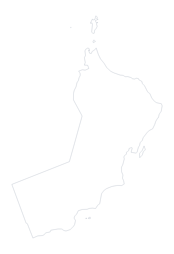
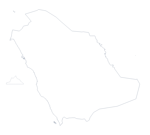
Maps of neighbouring places
Questions people ask
Is there a political blank map of the United Arab Emirates?
Yes: it is the With borders version, which draws the 9 administrative areas with no names on them. Pupils can label each one from the list further down this page.
Does the PNG have a transparent background?
Yes. Nothing sits behind the outline, so on a slide or in a document the PNG takes the colour of whatever is underneath. Put it on a dark slide and only the shape shows.
Can I open the SVG in Illustrator, Inkscape or Figma?
Yes. It is a vector file, so it opens in all three and the lines can be restyled or scaled up for a poster without losing sharpness.
How is this different from the printable map of the United Arab Emirates?
This page gives the outline as a file to use in your own worksheet, slide or design. The printable page has ready-to-print PDFs in colour or black and white, and a bar for shading areas first.