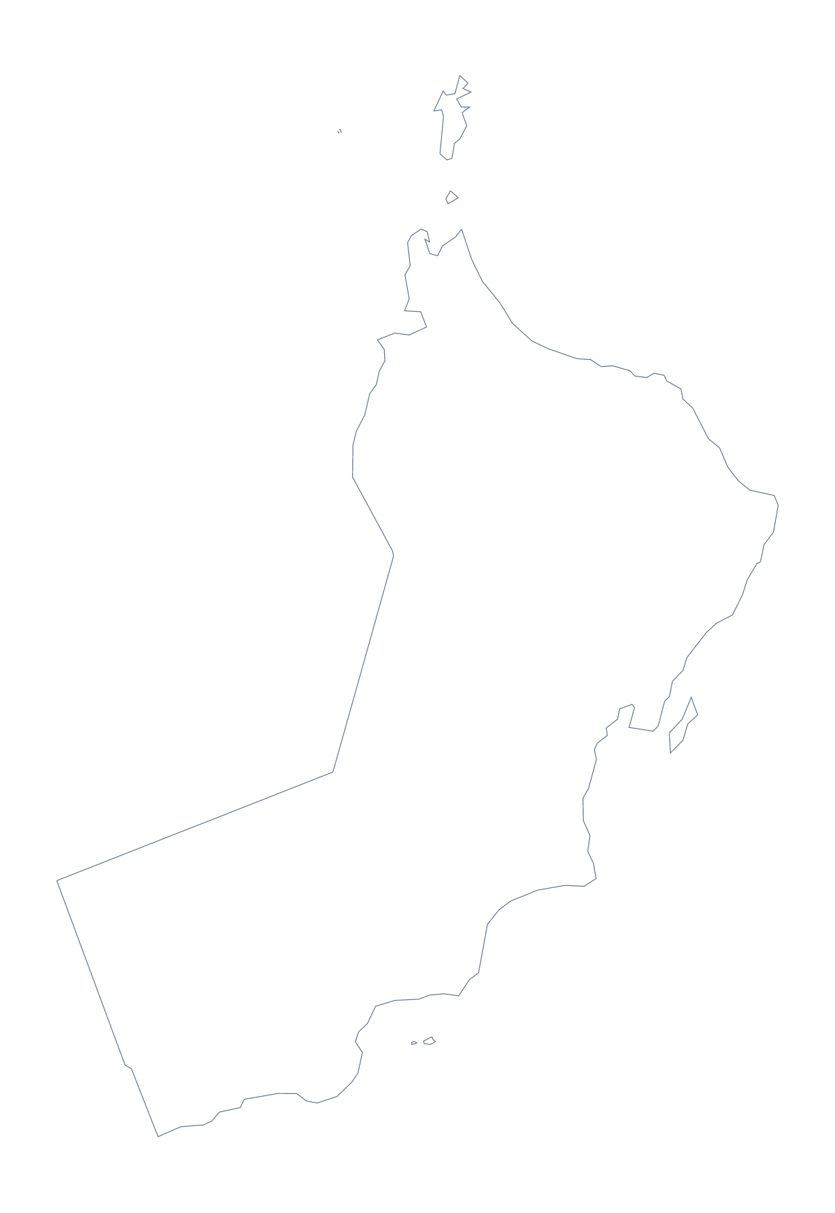
Blank map of Oman
The outline, free as a PNG, SVG or PDF. Label it, colour it in or drop it into a slide.
Using a blank map of Oman
Oman, as a file, is a shape you can use in lots of ways. This page offers the outline in two versions: Outline only, and With borders, which draws its 11 administrative areas. Each is a PNG on a transparent background, an SVG and a PDF.
In a design tool
Open the SVG in Figma, Illustrator or Inkscape and give each of the 11 areas a brand colour, or keep the outline in a single colour and set it behind a heading. Because the lines are vector, the map can be enlarged for a banner without blurring. The Outline only SVG is a single shape that suits a logo sketch or a cut-out template.
In a quiz or a lesson
The political blank map of Oman is the With borders version. In your own worksheet, number five areas, perhaps Ad Dhahirah, Al Batinah North, Ash Sharqiyah North, Ad Dakhiliyah and Muscat, and use the list further down this page as the answer sheet. For younger pupils, Outline only is the cleaner file for a title page.
Which one, which file
Use Outline only behind text and for silhouettes. Use With borders when the areas matter. The PNG goes into documents and slides, where its transparent background takes the slide colour. The PDF is for A4 or Letter and prints at 100%; for more on printing, see the printable map of Oman.
If you need more than the shape
Customise this map opens the outline in the editor, where you can add names, colours, pins and a title. For a version to colour with a bar of tools on the page, use the editable map of Oman.
How to do it in MapMaker
- Choose With borders for the 11 areas, or Outline only for the shape.
- Download the SVG for a design tool, or the PNG for a slide or worksheet.
- Place it on your page; the transparent background shows your own colour.
- Choose Customise this map to add names or a title.
The 11 administrative areas on the map
A key for labelling the map by hand.
- Ad Dakhiliyah
- Ad Dhahirah
- Al Batinah North
- Al Batinah South
- Al Buraimi
- Al Wusta
- Ash Sharqiyah
- Ash Sharqiyah North
- Dhofar
- Musandam
- Muscat
Facts about Oman
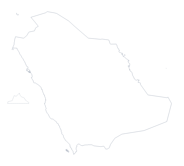
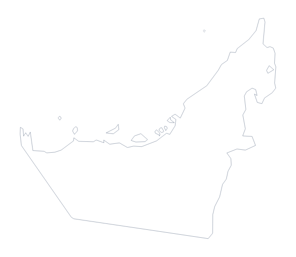
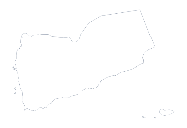
Oman is in Western Asia. The capital is Muscat. The population is about 5 million (2019 estimate). Oman has an area of about 312,000 km². The largest cities are Muscat, Seeb, Salalah, Suhar and Ibri. It borders Saudi Arabia, United Arab Emirates and Yemen. The map divides it into 11 administrative areas.
Maps of neighbouring places
Questions people ask
Is there a political blank map of Oman?
Yes, it is the With borders version. It draws the lines of the 11 administrative areas with no names, so pupils can label each one from the list further down this page.
How many administrative areas does the blank map show?
The With borders version shows 11, from Ad Dakhiliyah to Muscat. The Outline only version shows the shape of Oman alone, with nothing inside it.
Which file should I use in a worksheet, a slide or a design?
The PNG for a worksheet or slide, because the background is transparent. The SVG for Illustrator, Inkscape or Figma and for large sizes. The PDF for a sheet to print on A4 or Letter.
Can I colour the map in before I download it?
Not on this page, which gives the blank files. To colour areas, use the bar on the editable map of Oman, or choose Customise this map to colour them in the editor.