Blank map of Uruguay
The outline, free as a PNG, SVG or PDF. Label it, colour it in or drop it into a slide.
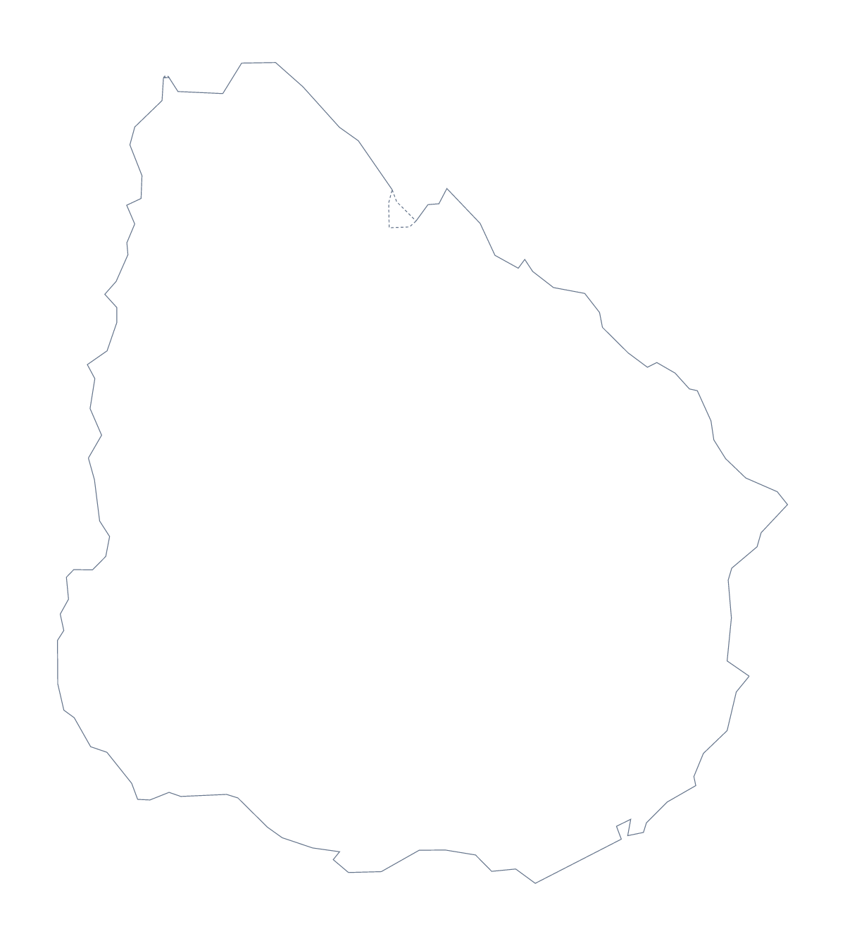
Using a blank map of Uruguay
The shape of Uruguay turns up in school handouts, posters, travel pages and report covers. This page gives you that shape to work with. Outline only is the country with nothing inside it, and With borders adds the 19 administrative areas. Each is a PNG, an SVG or a PDF.
Craft, poster and display
For a display, enlarge the SVG until it fills a wall board, then cut or trace the outline as a template. In a design tool, the SVG lets you fill the shape with a photograph or a pattern for a poster, or give each of the 19 areas a different brand colour on a report page.
A base for captions
Put the With borders PNG in your own document and write a caption for each area your page covers: Rocha, Durazno, Rivera and Soriano are four of the 19. The list below the steps gives every name. Outline only is better when the shape sits behind other content. On a report page, set the PNG at the top and let the captions run down the margin. On a slide, keep them short and place each beside the area it names.
Which version
The political blank map of Uruguay is With borders; it suits captions. Outline only works as a silhouette. The PNG has a transparent background for a slide or document, the SVG scales without blurring, and the PDF prints on A4 or Letter. For black and white sheets, choose the printable map of Uruguay; for colour and names, use Customise this map.
How to do it in MapMaker
- Choose With borders for the 19 administrative areas, or Outline only for the shape alone.
- Download the SVG for a poster or a design tool, or the PNG for a slide or worksheet.
- Resize the file from a corner, so the outline keeps its proportions.
- Take the names for your captions from the list of areas below the steps.
- Choose Customise this map when the outline needs names, colours or pins.
The 19 administrative areas on the map
A key for labelling the map by hand.
- Artigas
- Canelones
- Cerro Largo
- Colonia
- Durazno
- Flores
- Florida
- Lavalleja
- Maldonado
- Montevideo
- Paysandú
- Río Negro
- Rivera
- Rocha
- Salto
- San José
- Soriano
- Tacuarembó
- Treinta y Tres
Facts about Uruguay
Uruguay is in South America. The capital is Montevideo. The population is about 3.5 million (2019 estimate). Uruguay has an area of about 177,000 km². The largest cities are Montevideo, Rivera, Punta del Este, Salto and Paysandú. It borders Argentina and Brazil. The map divides it into 19 administrative areas.
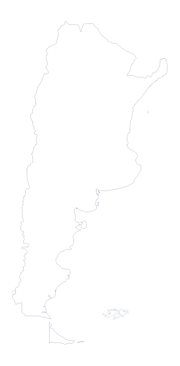
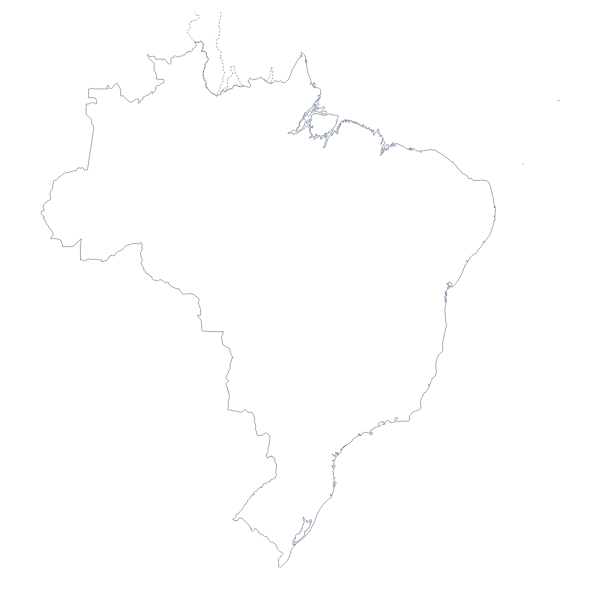
Maps of neighbouring places
Questions people ask
Is there a political blank map of Uruguay?
Yes. It is the With borders version, which draws the lines between the 19 administrative areas and has no names on it. Outline only is the same country with nothing drawn inside.
How many administrative areas does the blank map show?
The With borders version shows 19 administrative areas as separate shapes. The list further down this page names every one, so it works as the answer key for a labelling task.
Can I open the SVG in Illustrator, Inkscape or Figma?
Yes. The SVG is a vector file, so it opens in all three. The outline and the area lines stay sharp at any size and can be recoloured, restyled or traced.
Can I show the countries around Uruguay?
Not on this page, which gives the outline only. Choose Customise this map to open the map in the editor and switch on Neighbours to draw Argentina and Brazil in grey.