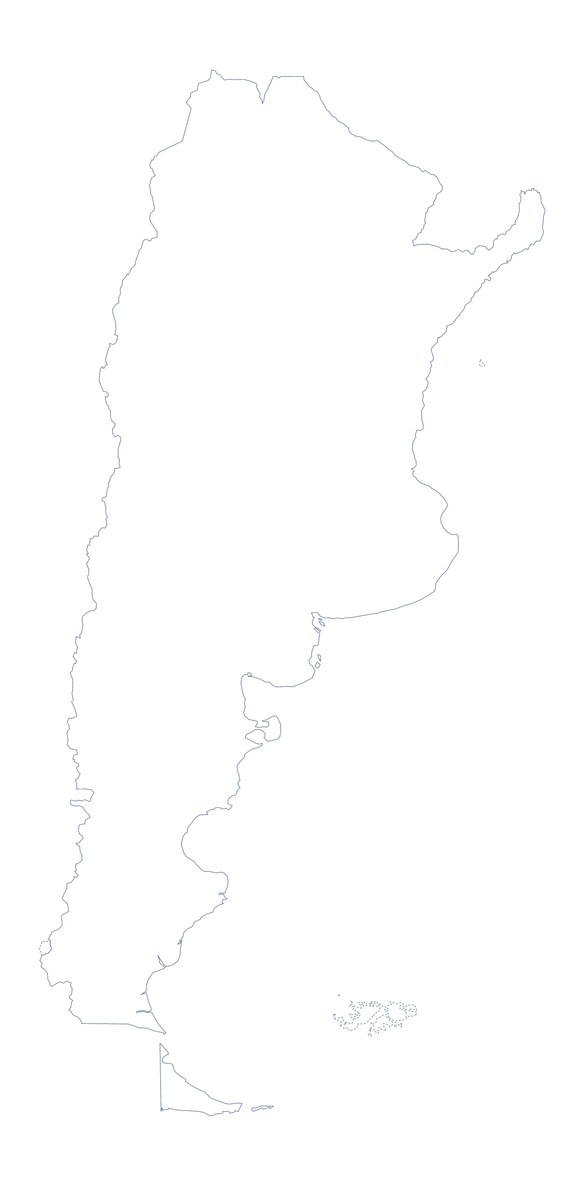
Blank map of Argentina
The outline, free as a PNG, SVG or PDF. Label it, colour it in or drop it into a slide.
Using a blank map of Argentina
Most people who want a blank map of Argentina are building something around it: a handout for a Spanish or geography class, a slide on a new market, a poster, a report cover. This page gives you the shape as a file. Outline only is the country with nothing inside it, and With borders adds its 23 provinces and the Autonomous City of Buenos Aires. Each comes as a PNG, an SVG or a PDF.
Provinces on a slide
The political blank map of Argentina is the With borders version: the provinces drawn in, with no names. Place the PNG on a slide and cover all but one province with a shape of your own, then move the shape along as you present, so the class follows the country one province at a time. The list further down this page gives the names for your notes.
Outline only has no inner lines, which makes it the version for a cover page, a banner or a stamp-sized locator on a handout.
On a slide or in a design tool
A transparent PNG takes on the colour of the slide behind it, so Argentina can sit on your theme with a title or a few figures beside it. In Illustrator, Inkscape or Figma, the SVG scales without blurring: restyle the province lines for a report, or trace the outline for a poster.
Choosing the version
Take With borders for labelling, a quiz or a political map, and Outline only for a silhouette, a cover or the youngest pupils. The PDF prints at 100% on A4 or Letter; for more print choices, see the printable map of Argentina. When the map needs names, pins or a title, choose Customise this map.
How to do it in MapMaker
- Choose With borders for the provinces and the Autonomous City of Buenos Aires, or Outline only for the shape alone.
- Pick PNG for a slide or worksheet, SVG for a design tool or PDF, A4 or PDF, Letter.
- Drop the PNG onto your page and drag a corner to resize it, so the proportions hold.
- Cover or fill the provinces in your slide software and take their names from the list on this page.
- Choose Customise this map for names, a title or colour, and download from the editor.
The 23 provinces and the Autonomous City of Buenos Aires on the map
A key for labelling the map by hand.
- Buenos Aires
- Buenos Aires
- Catamarca
- Chaco
- Chubut
- Córdoba
- Corrientes
- Entre Ríos
- Formosa
- Jujuy
- La Pampa
- La Rioja
- Mendoza
- Misiones
- Neuquén
- Río Negro
- Salta
- San Juan
- San Luis
- Santa Cruz
- Santa Fe
- Santiago del Estero
- Tierra del Fuego
- Tucumán
Facts about Argentina
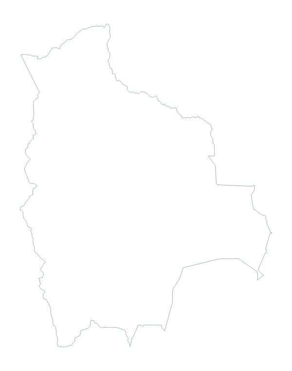
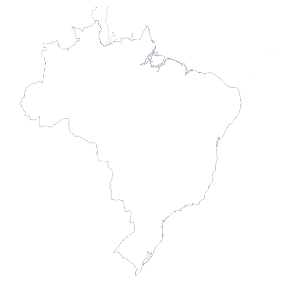
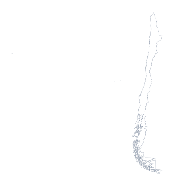
Argentina is in South America. The capital is Buenos Aires. The population is about 45 million (2019 estimate). Argentina has an area of about 2,780,000 km². The largest cities are Buenos Aires, Córdoba, Rosario, Mendoza and Tucumán. It borders Bolivia, Brazil, Chile, Paraguay and Uruguay. The map divides it into 23 provinces and the Autonomous City of Buenos Aires.
Maps of neighbouring places
Questions people ask
Is there a political blank map of Argentina?
Yes: the With borders version. It draws the 23 provinces and the Autonomous City of Buenos Aires inside the outline, with no names, so it works as a labelling map. Outline only is the plain shape of the country.
Which file should I use in a worksheet, a slide or a design?
Use the PNG in a worksheet or slide, since its background is transparent. Use the SVG in Illustrator, Inkscape or Figma, and the PDF when you want the outline on A4 or Letter as it stands.
Can I show the countries around Argentina?
Not on this page, which gives only the outline. Choose Customise this map to open the same outline in the editor, where the Neighbours switch greys in Chile, Uruguay and the other countries beside it.
How is this different from the printable map of Argentina?
This page gives you the shape as a file to put into your own worksheet, slide or artwork. The printable page is for paper: ready-made PDFs in colour or black and white, and a bar to colour in before printing.