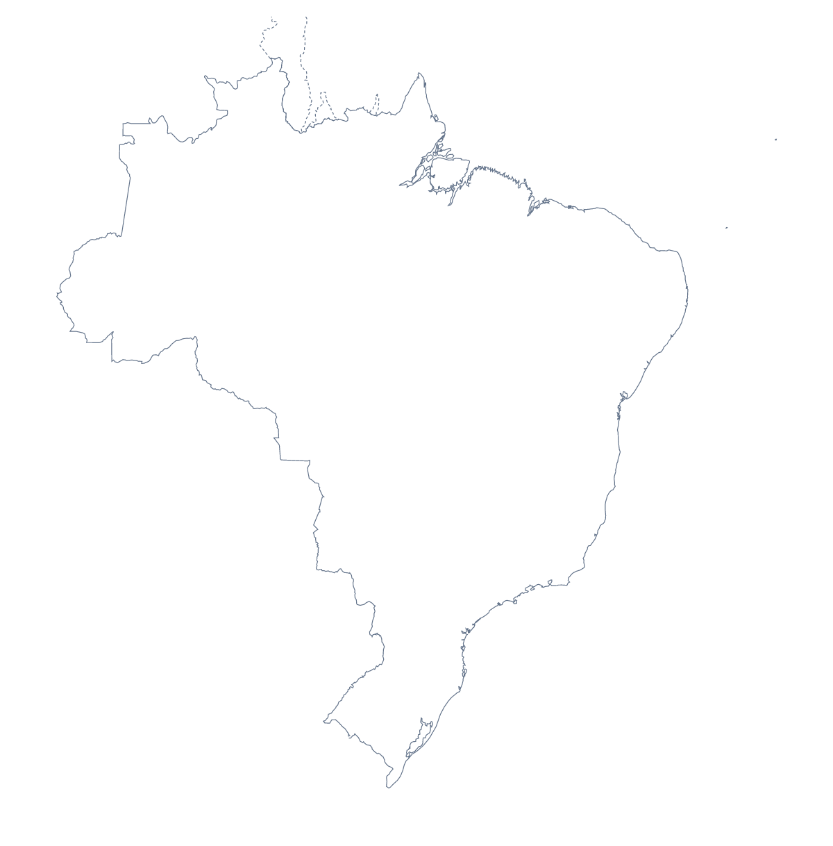
Blank map of Brazil
The outline, free as a PNG, SVG or PDF. Label it, colour it in or drop it into a slide.
Using a blank map of Brazil
Brazil's blank map ends up in all sorts of places: a report cover, a slide that needs the shape behind a heading, a poster for a school fair. This page supplies the shape as a file. Outline only is Brazil with nothing inside it, and With borders adds the 26 states and the Federal District. Both come as a PNG, an SVG or a PDF.
A slide deck that moves across the country
With this many states, one image goes a long way. Put the With borders PNG on each slide of a section and fill a different state every time with the shape tools of your slide software, so the deck moves across the country. Pará, Bahia, Paraná, Goiás and Ceará would make a short first section, and the list further down this page gives the spellings.
Covers, slides and posters
For a document cover, the transparent PNG sits over a coloured band without a white box around it. The SVG opens in Illustrator, Inkscape or Figma, where you can fill the states in your organisation's palette, thicken the state lines, or use Outline only as a plain silhouette behind a title.
Choosing what to take
The political blank map of Brazil is the With borders version, with the lines and no names. Take Outline only for a silhouette or the youngest pupils. If you need the PDF in black and white, or want to colour states before printing, go to the printable map of Brazil. For the states as a map of their own, see the blank map of the Brazilian states.
How to do it in MapMaker
- Choose With borders for the 26 states and the Federal District, or Outline only for the country's shape.
- Take the PNG for a worksheet or slide, the SVG for a design tool or PDF, A4 or PDF, Letter.
- Place the PNG on each slide or page you need.
- Take the spellings of the states from the list further down this page.
- Choose Customise this map to add names, a title or colour, and download from the editor.
The 26 states and the Federal District on the map
A key for labelling the map by hand.
- Acre
- Alagoas
- Amapá
- Amazonas
- Bahia
- Ceará
- Espírito Santo
- Federal
- Goiás
- Maranhão
- Mato Grosso
- Mato Grosso do Sul
- Minas Gerais
- Pará
- Paraíba
- Paraná
- Pernambuco
- Piauí
- Rio de Janeiro
- Rio Grande do Norte
- Rio Grande do Sul
- Rondônia
- Roraima
- Santa Catarina
- São Paulo
- Sergipe
- Tocantins
Facts about Brazil
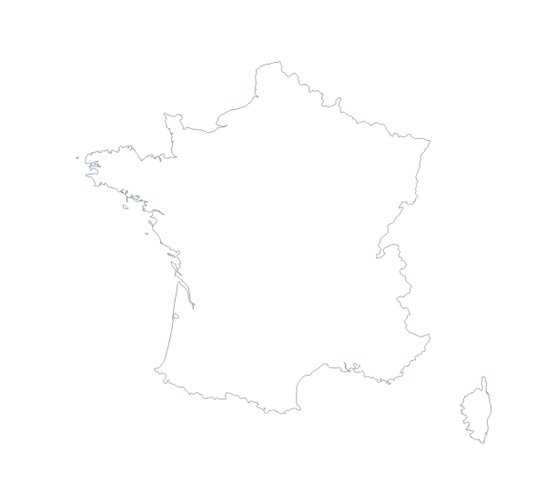
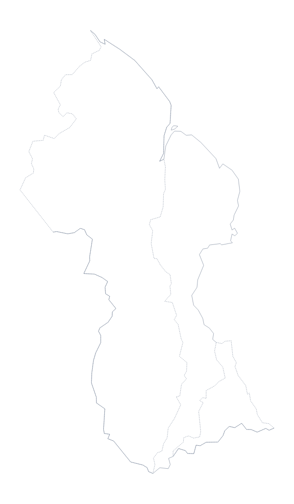
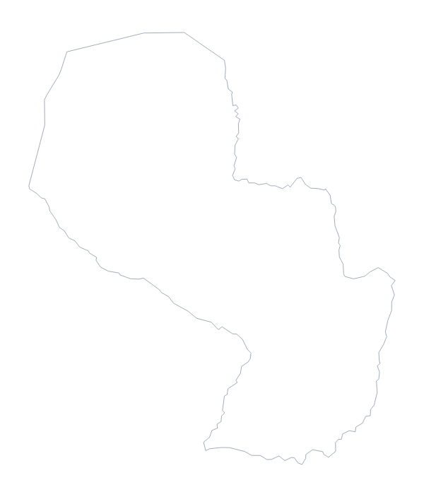
Brazil is in South America. The capital is Brasília. The population is about 210 million (2019 estimate). Brazil has an area of about 8,500,000 km². The largest cities are São Paulo, Rio de Janeiro, Belo Horizonte, Porto Alegre and Brasília. It borders Argentina, Bolivia, Colombia, France, Guyana, Paraguay, Peru, Suriname, Uruguay and Venezuela. The map divides it into 26 states and the Federal District.
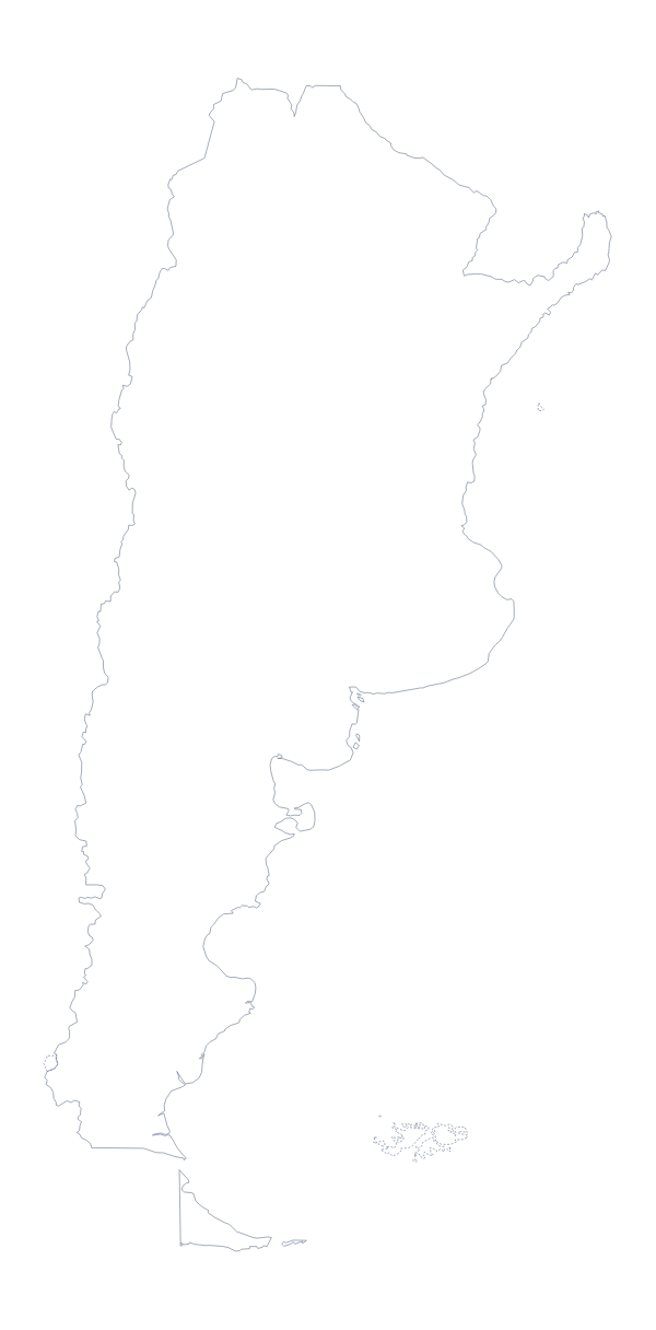
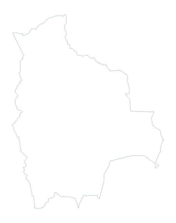
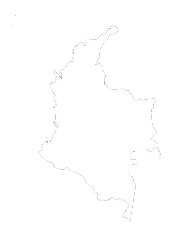
Maps of neighbouring places
Questions people ask
Is there a political blank map of Brazil?
Yes: the With borders version, which draws the 26 states and the Federal District inside the outline without any names. Outline only is the shape of Brazil on its own.
Does the PNG have a transparent background?
Yes. Everything around the shape of Brazil is see-through, so the map takes the colour of the slide, worksheet box or poster you place it on.
Can I open the SVG in Illustrator, Inkscape or Figma?
Yes. The SVG is a vector file, so the outline and the state lines in the With borders version can be recoloured, thickened or traced, and they stay sharp at any size.
Is there a blank map of Brazil's states on its own?
Yes. The blank map of the Brazilian states opens with With borders first and the state lines as the main feature, while this page puts the whole country first.