Blank map of Uzbekistan
The outline, free as a PNG, SVG or PDF. Label it, colour it in or drop it into a slide.
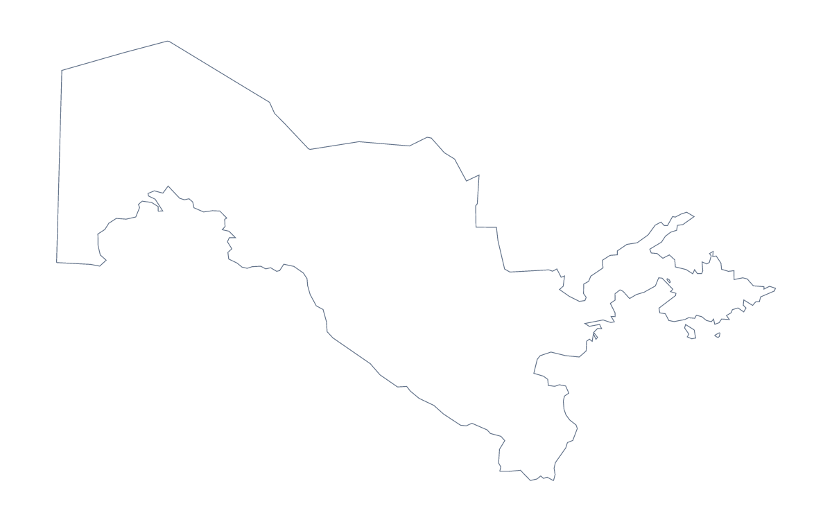
Using a blank map of Uzbekistan
A teacher making a quiz, a researcher drawing up a poster and a designer sketching a regional graphic all begin with the same thing: the shape of Uzbekistan, with nothing else on it. This page offers two forms, Outline only, and With borders, which adds the 14 administrative areas. Both come as a PNG on a transparent background, an SVG and a PDF.
Numbered areas for a quiz
With borders is the political blank map of Uzbekistan: 14 areas, no names. Open the PNG in your worksheet, number a handful of them, such as Bukhara, Jizzakh and Surxondaryo among the answers, and ask pupils to name each. The list further down this page is the answer sheet. A timed round, three minutes for ten numbered areas, suits a revision lesson.
A research or design graphic
Researchers can place the SVG on a poster and fill only the areas where fieldwork took place. Designers can open it in Illustrator, Inkscape or Figma and restyle the lines, or recolour the areas in a palette that matches a report. Outline only is the simpler base if the areas themselves are not part of the message.
Slides about the wider region
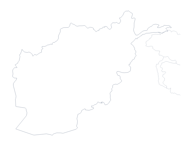
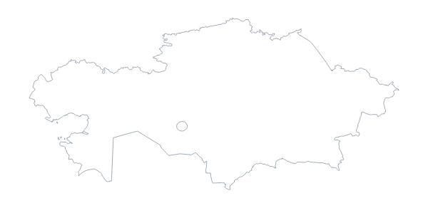
In PowerPoint or Google Slides, drop the PNG onto a slide and its transparent background lets the slide colour show behind the shape. For a Central Asia slide, add the blank map of Kazakhstan as a second file and give each country its own colour; the files are not drawn to one scale, so resize each by eye.
Past the outline
For names, pins or a title, Customise this map opens the same outline in the editor. For a paper copy with a choice of ink, see the printable map of Uzbekistan.
How to do it in MapMaker
- Choose With borders for the 14 areas, or Outline only for the country's shape.
- Download the SVG to restyle in a design tool, the PNG for a slide or worksheet, or a PDF for A4 or Letter.
- Number or colour the areas in your own document, and keep the list on this page as the key.
- Choose Customise this map if the map needs names, pins or a title.
The 14 administrative areas on the map
A key for labelling the map by hand.
- Andijan
- Bukhara
- Fergana
- Jizzakh
- Karakalpakstan
- Namangan
- Navoiy
- Qashqadaryo
- Samarqand
- Sirdaryo
- Surxondaryo
- Tashkent
- Tashkent
- Xorazm
Facts about Uzbekistan
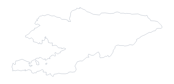
Uzbekistan is in Central Asia. The capital is Tashkent. The population is about 34 million (2019 estimate). Uzbekistan has an area of about 447,000 km². The largest cities are Tashkent, Fargona, Namangan, Samarkand and Andijan. It borders Afghanistan, Kazakhstan, Kyrgyzstan, Tajikistan and Turkmenistan. The map divides it into 14 administrative areas.
Maps of neighbouring places
Questions people ask
What is the difference between Outline only and With borders for Uzbekistan?
Outline only is the shape of Uzbekistan with nothing inside it. With borders draws the 14 administrative areas inside the shape, with no names, so it is the political blank map.
Is there an answer key for a labelling quiz?
Yes. The list of the 14 areas lower on this page works as the key. Number the areas on your worksheet, ask pupils to name each one and check their answers against the list.
Can I make the outline bigger without it going blurry?
Yes, if you take the SVG or the PDF. Both are vector files, so they scale to poster size and stay sharp. The PNG is best at the size it is placed on a slide or page.
How do I add names, a title or my own colours?
Choose Customise this map. The editor opens the same outline, where you can colour areas, show their names, add a title and pins, and download a PNG, JPG, SVG or PDF.