Blank map of Turkmenistan
The outline, free as a PNG, SVG or PDF. Label it, colour it in or drop it into a slide.
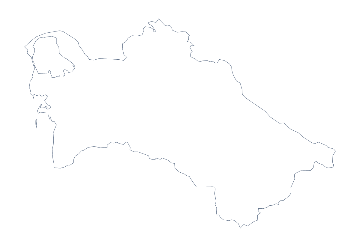
Using a blank map of Turkmenistan
A regional update, a Central Asia project or a quiz sheet often needs the shape of Turkmenistan and little else. This page has it in two versions: Outline only, and With borders, which draws the 5 administrative areas inside it. Each is a PNG on a transparent background, an SVG and a PDF.
Five shapes to work with
With borders is the political blank map of Turkmenistan. Its areas are large, so a design is easy to read: fill Ahal and Mary in brand colours, leave Balkan, Daşoguz and Lebap pale, and the point of a slide is clear before anyone reads a word. In a quiz, number each area on the PNG and let pupils write Ahal, Balkan, Daşoguz, Lebap or Mary against the number; the list further down this page is the answer sheet.
Slides that cover more than one country
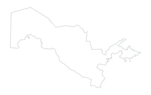
Place the PNG on a dark slide and only the outline shows. The blank map of Uzbekistan gives a second shape for a regional slide; the files are not drawn to one scale, so resize each by eye. In Illustrator, Inkscape or Figma, the SVG lets you move, scale and restyle each outline separately.
Younger pupils
Outline only has no lines to confuse a small child, which makes it the cleaner file for a title page or a project cover.
When the outline is not enough
Choose Customise this map to open the same outline in the editor for names, pins or a title. The printable map of Turkmenistan has the print choices.
How to do it in MapMaker
- Choose With borders for the 5 areas, or Outline only for the shape alone.
- Download the PNG for a slide or worksheet, or the SVG to restyle it in a design tool.
- Place the file, then number or colour the areas, keeping the list on this page as the key.
- Choose Customise this map when the map needs names, pins or a title of its own.
The 5 administrative areas on the map
A key for labelling the map by hand.
- Ahal
- Balkan
- Daşoguz
- Lebap
- Mary
Facts about Turkmenistan
Turkmenistan is in Central Asia. The capital is Ashgabat. The population is about 5.9 million (2019 estimate). Turkmenistan has an area of about 470,000 km². The largest cities are Ashgabat, Türkmenabat, Daşoguz, Mary and Balkanabat. It borders Afghanistan, Iran, Kazakhstan and Uzbekistan. The map divides it into 5 administrative areas.
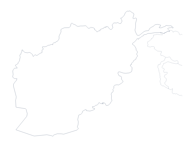
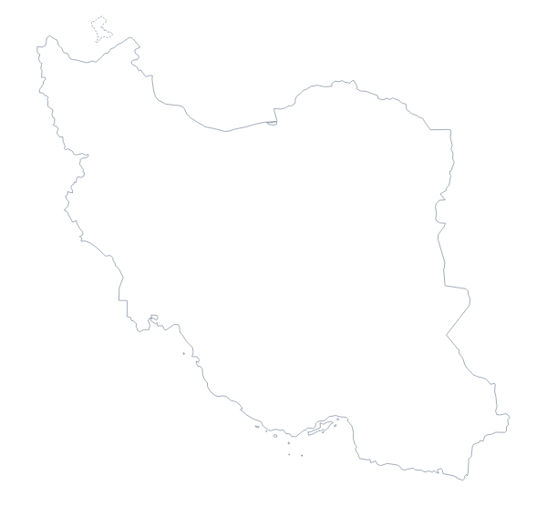
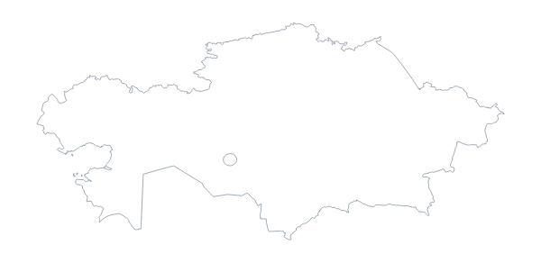
Maps of neighbouring places
Questions people ask
What is the difference between Outline only and With borders for Turkmenistan?
Outline only is the shape of the country with nothing inside it. With borders draws the 5 administrative areas inside the shape, still with no names, so it works as the political blank map.
Does the blank map show the names of the areas?
No. A blank map has no names, which leaves the five areas for you to label. The list lower on this page gives the names to check against, and Customise this map can show them in the editor.
Which file should I use in a worksheet, a slide or a design?
Use the PNG for a worksheet or slide, since the transparent background takes on the page colour. Use the SVG for Illustrator, Inkscape or Figma, and the PDF when you want to print on A4 or Letter.