Choropleth map of East Asia
Paste your numbers by country and get a colour-coded map with a legend.
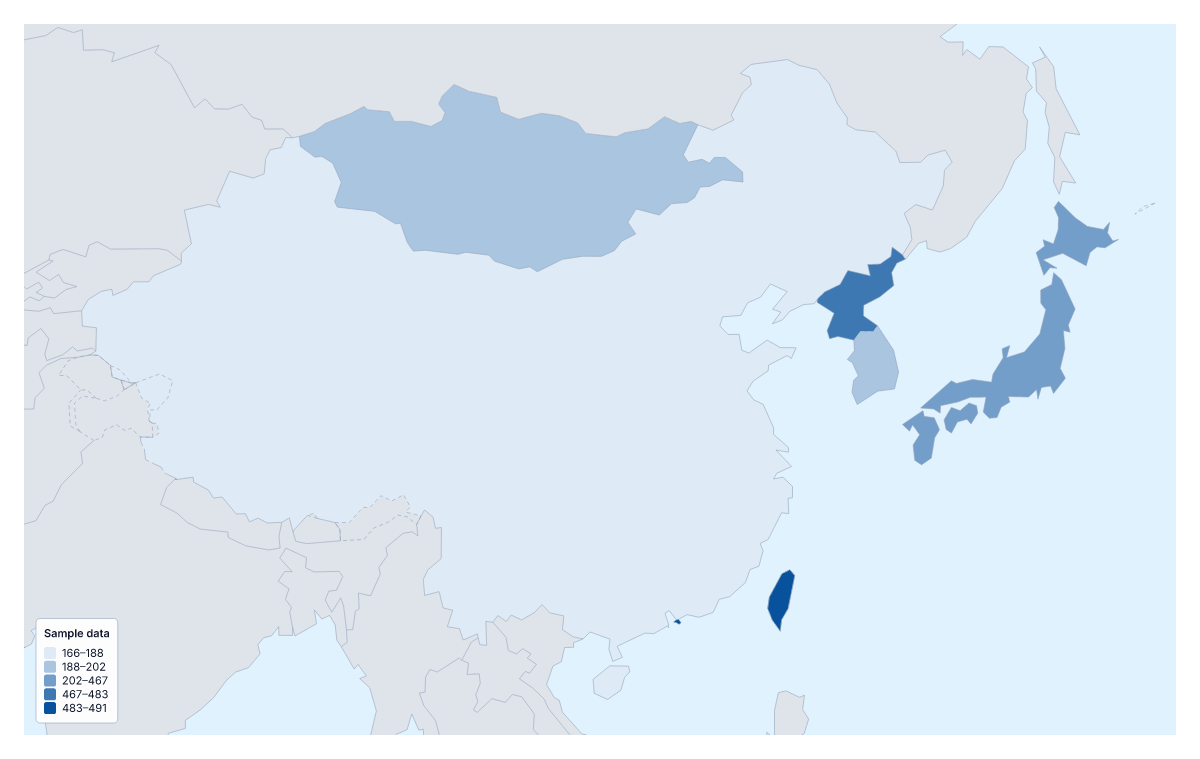
Your data on a map of East Asia
With a figure for each of the eight members of East Asia, such as sales, visitors or survey scores, you can have a shaded map in a few minutes. Paste two columns from your spreadsheet, the country and its value, and Make my map opens the region with each member coloured by your numbers. The colours above are sample values until you paste your own.
What eight shaded areas can tell you
A choropleth colours each area by a value, usually darker for more, with a legend for the shades. With eight areas the map is best at ranking and grouping: which members sit high, which low, which together. It cannot show exact numbers or single places such as stores, so use pins for those. Rates, per person or per km², compare members more fairly than totals, which mostly follow population.
Data that suits a region of eight
A regional sales manager can map revenue per customer or orders per member. A researcher can map school or health figures that are published member by member. A communications team can map survey scores, and a project lead can use the Categories method to colour each member by a label such as live, planned or not yet.
Pasting and colouring
Put the member name or code in the first column and the value in the second. Unmatched rows are listed with suggestions to fix or skip, and the blank spreadsheet on this page gives all eight with an empty Value column. Hong Kong and Macau are small on the page, so a pale shade can be hard to see; a text box or a pin in the editor can point to them. To set the region against the whole continent, use the choropleth map of Asia.
How to do it in MapMaker
- Copy the country column and the value column and paste them into the box.
- Choose Make my map to open East Asia with your figures, or Upload a CSV for a file.
- Fix or skip any rows the editor could not match, then choose a method and three classes in the Data panel.
- Choose Download to save the map with its legend as a PNG, SVG or PDF.
Facts about East Asia
8 members are on the map. The members are China, Hong Kong, Japan, Macau, Mongolia, North Korea, South Korea and Taiwan.
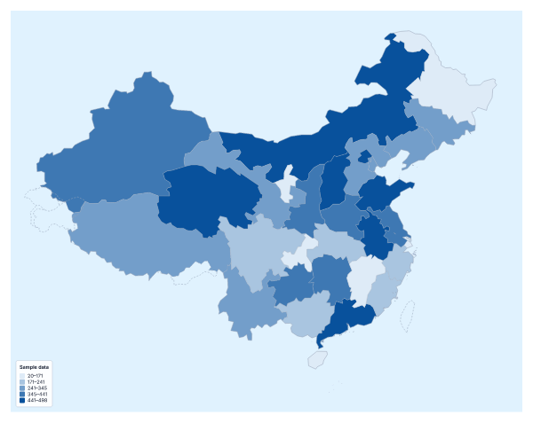
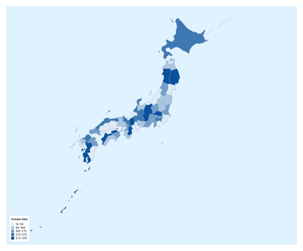
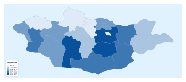
Maps of places in East Asia
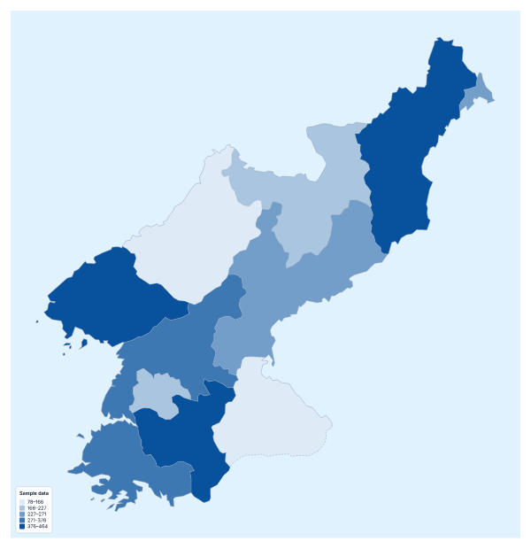
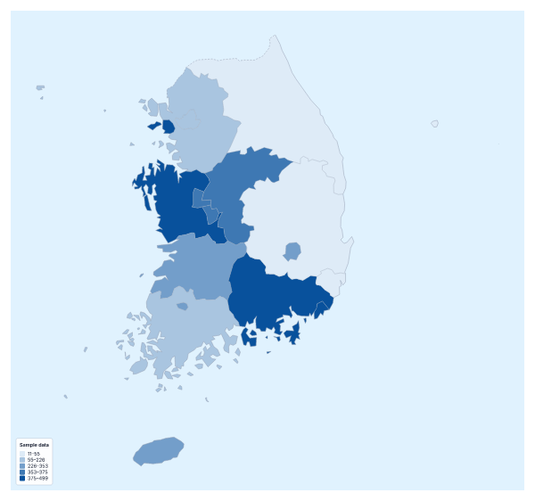
Questions people ask
Which places can I add data for on the map of East Asia?
The eight members on the map: China, Hong Kong, Japan, Macau, Mongolia, North Korea, South Korea and Taiwan. Give each one a row with its name and its value; the blank spreadsheet on this page lists them with codes.
How many colour steps should I use?
Three is a sensible start for eight members. With more steps, some end up holding one member or none, and the legend says less. Quantile and Equal steps both work at this size.
Which names and codes does it recognise?
English names, other common spellings and ISO 3166 codes. A name or code that does not match is listed with suggestions, so you can fix it or skip the row.
Is there a blank spreadsheet of East Asia's members?
Yes. The link on this page downloads a CSV with the eight members, their codes and an empty Value column. Fill the column in and paste the two columns back into the box.