Printable map of East Asia
Free PDFs, ready for A4 or Letter. Print in colour or black and white.
Printing a map of East Asia
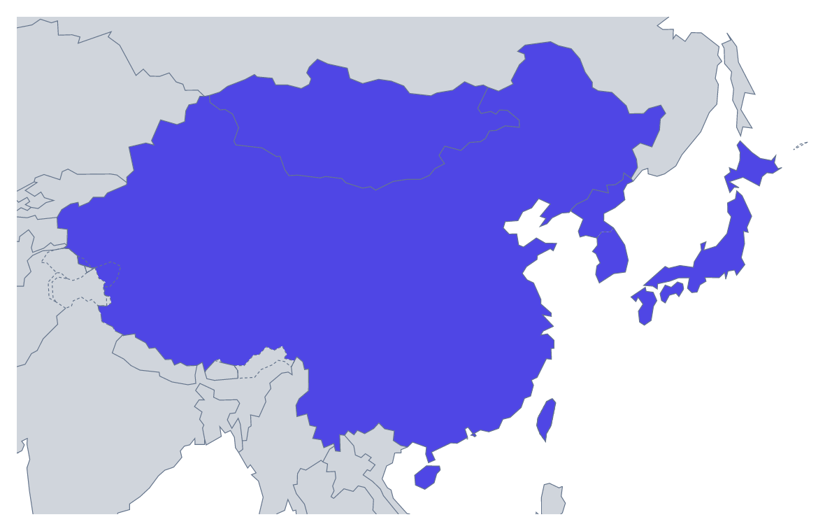
Eight members make this one of the quickest maps to build a lesson around. Teachers print it for a starter, a test or a project on the region, and students print it to revise. There are two versions, both PDFs for A4 or Letter, in colour or black and white, with no names printed: With country borders, which draws the eight members, and a Blank outline of the region.
A two-minute starter works well: hand out the version with borders, give pupils the eight names from the list further down this page and ask them to write each one in its shape. Then swap papers and mark. Next time, number the shapes and ask for the names from memory, so numbers have to be matched to names.
Younger children can colour each member a different colour, copy the names into a key and add a compass rose. Older pupils can shade the members that fit a rule you set, such as the ones whose names start with the same letter or the ones a topic covers, and add a key.
Version and paper
Pick With country borders for labelling and colouring by a rule, and the Blank outline when pupils draw the lines themselves. Black and white is for a photocopied class set and colour for a single wall copy. To shade members before printing, colour them with the bar on the map and choose Download your map. For names on the map, a title or an A3 sheet, choose Customise before printing. To place the region among its neighbours, print the printable map of Asia alongside.
How to do it in MapMaker
- Choose With country borders for the eight members, or Blank outline for the region alone.
- Pick A4 or Letter, and Colour or Black and white.
- Open the PDF and print it at 100% so every copy comes out the same size.
- To shade members first, pick a colour in the bar on the map, click them and choose Download your map.
- Choose Customise before printing to add names, a title or an A3 sheet.
The 8 members on the map
A key for labelling the map by hand.
- China
- Hong Kong
- Japan
- Macau
- Mongolia
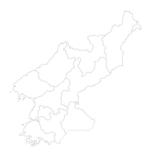
- North Korea
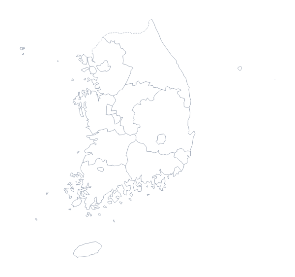
- South Korea
- Taiwan
Facts about East Asia
8 members are on the map. The members are China, Hong Kong, Japan, Macau, Mongolia, North Korea, South Korea and Taiwan.
Maps of places in East Asia
Questions people ask
Which places are on the printable map of East Asia?
The eight members on the map: China, Hong Kong, Japan, Macau, Mongolia, North Korea, South Korea and Taiwan. The list further down this page names them, so it doubles as an answer key.
Which version should I print for a labelling worksheet?
With country borders. It gives each of the eight members a shape to name, whereas the blank outline shows only the land and suits pupils who add the lines from an atlas.
Will the smaller members show clearly when printed?
Hong Kong and Macau are small at A4 or Letter size. Print at 100%, or choose Customise before printing and download an A3 PDF, which gives them more room.
Is this printable map of East Asia free?
Yes. Both PDFs cost nothing to download and print, on A4 or Letter, and there is no account to make.