Blank map of East Asia
The outline, free as a PNG, SVG or PDF. Label it, colour it in or drop it into a slide.
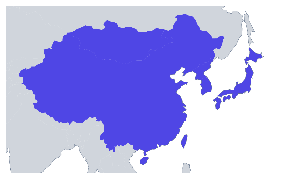
Using a blank map of East Asia
Reports, briefings and brand graphics about East Asia often need the region as a quiet shape behind the real content. Choose With borders to separate its eight members, or Outline only to keep the land as one piece, then take the file: a PNG on a transparent background, an SVG or a PDF on A4 or Letter.
A shape to build on
With only eight members, With borders stays easy to read even when the map is small. Place the PNG at one side of a title slide and set the agenda or a list of offices beside it, or tile it as a faint pattern on a divider. On a coloured band, the transparent background lets the band show through the gaps, so no white box appears around the map.
Designers and report writers
Open the SVG in Illustrator, Inkscape or Figma, where the members are separate shapes: give two of them the brand colour and leave six pale, or thin the borders for a delicate look. A report writer can set the PNG beside a table of the eight members and pick out the one a section covers, using the list further down this page for the spelling.
Which version
With borders is the political blank map of East Asia, and the one to choose whenever the members need telling apart. Outline only is better for an icon, a stamp or a watermark. The PNG goes into documents and slides, the SVG into design work, and the PDF prints on A4 or Letter; for black-and-white copies, see the printable map of East Asia.
How to do it in MapMaker
- Choose With borders for the eight members, or Outline only for the land as one shape.
- Download the PNG for a slide or a worksheet, or the SVG for a design tool.
- For paper, pick PDF, A4 or PDF, Letter.
- Choose Customise this map to add names, colours, the neighbouring countries or a title, then download from the editor.
The 8 members on the map
A key for labelling the map by hand.
- China
- Hong Kong
- Japan
- Macau
- Mongolia
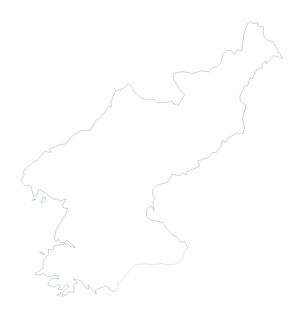
- North Korea
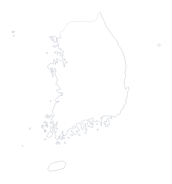
- South Korea
- Taiwan
Facts about East Asia
8 members are on the map. The members are China, Hong Kong, Japan, Macau, Mongolia, North Korea, South Korea and Taiwan.
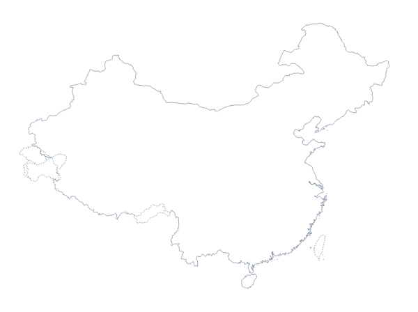
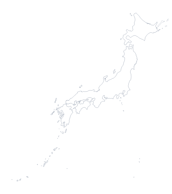
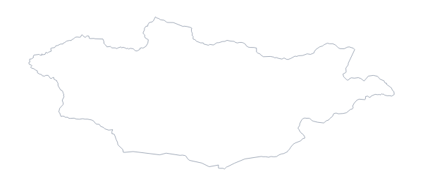
Maps of places in East Asia
Questions people ask
Is there a political blank map of East Asia?
Yes. With borders gives the eight members as separate, unnamed shapes. Fill them, number them for a quiz or restyle them in a design tool.
Which file should I use in a worksheet, a slide or a design?
Use the PNG in slides, worksheets and documents, the SVG when a designer will restyle the map, and the PDF when it goes straight to a printer.
Is there an answer key for a labelling quiz?
Yes. The list further down this page names all eight members, so you can number them on your copy of the map and check the answers against it.
Can I show the countries around East Asia?
Not on this page, which has the outline alone. Choose Customise this map to open the outline in the editor, where the Neighbours switch draws the surrounding countries in grey.