Choropleth map of Eurasia
Paste your numbers by country and get a colour-coded map with a legend.
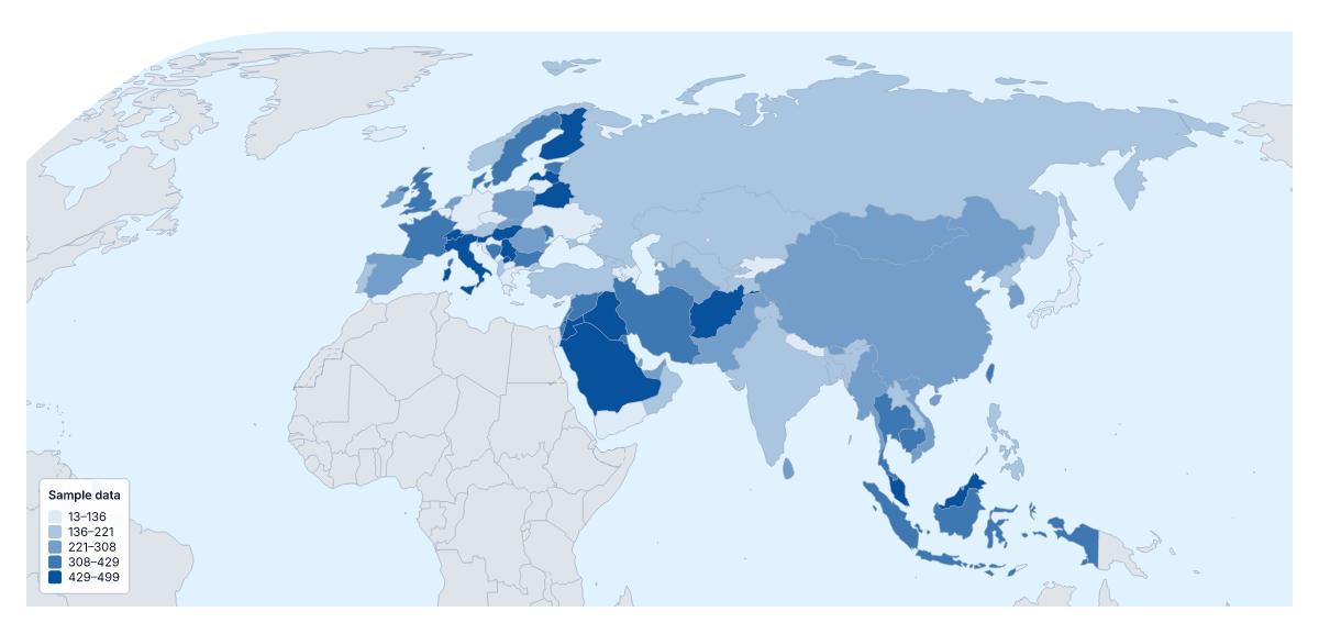
Your data on a map of Eurasia
For a table that covers Europe and Asia together, such as trade, survey scores or coverage by country, this page is the quickest way to a map. Paste two columns from your spreadsheet, the country and its value, and Make my map opens Eurasia with its 105 countries and territories coloured by your numbers. The colours above are sample values until you paste your own.
What 105 shaded areas show
A choropleth colours each area by one value, darker for more, with a legend to read the shades by. On a map this full it shows broad patterns: clusters of similar countries, and the outliers beside them. It does not show exact figures or single places such as depots or offices; pins do that. Totals mostly follow population, so rates are the safer choice.
Joining two sources
Tables for Europe and for Asia often come from different publishers, with different habits for names. Paste them as one table and let the importer match them; rows it cannot place are listed for you to fix or skip, and the blank spreadsheet on this page gives every member its code. Smaller members such as Åland, Guernsey or Jersey have rows of their own there. A paste can hold up to 5,000 rows and 2 MB.
Steps and colours
Five to seven colour steps suit this many areas. Quantile puts about the same number of countries in each step, so the map is not dominated by one band; Equal steps keeps the legend's ranges the same width. A member with no value takes the no data colour. For a figure that covers one continent only, use the choropleth map of Europe or the choropleth map of Asia.
How to do it in MapMaker
- Copy the country column and the value column from your spreadsheet and paste them into the box.
- Choose Make my map to open Eurasia with your data, or Upload a CSV for a table saved as a file.
- Match or skip any rows the editor listed, then choose a method and five to seven classes in the Data panel.
- Choose Download to save the map with its legend as a PNG, SVG or PDF.
Facts about Eurasia
105 members are on the map.
Maps of places in Eurasia
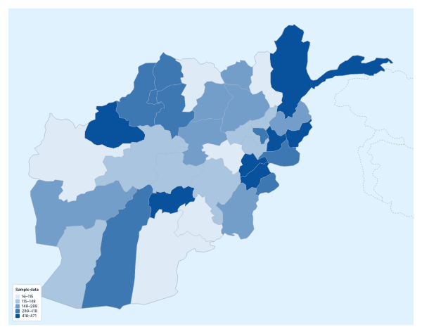
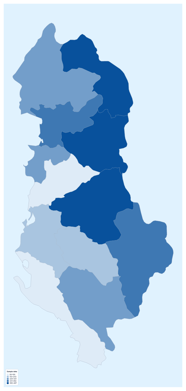
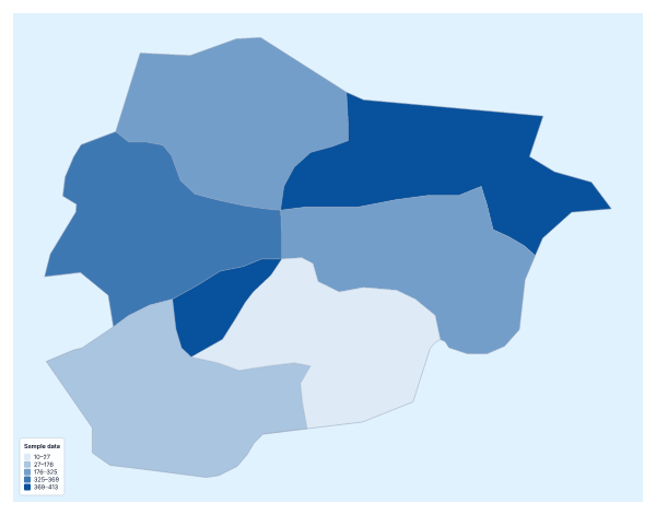
Questions people ask
Which countries can I add data for on the map of Eurasia?
The 105 countries and territories on the map, from Afghanistan to Yemen. The blank spreadsheet on this page lists every one with a code the importer accepts, next to an empty Value column.
Can I combine a table from a European source with one from an Asian source?
Yes. Put both into one table with the country in the first column and the value in the second. The importer reads several spellings and ISO 3166 codes, so differences in how sources write a name usually still match.
What happens if a country name doesn't match?
The editor lists the rows it could not match, with suggestions. Choose the right country and tick Remember this match, or skip the row. Rows for places outside this map are reported separately.
Should I map totals or rates?
Rates, as a rule. Totals follow population, so a figure per person or per km² compares members more fairly than a raw count does.