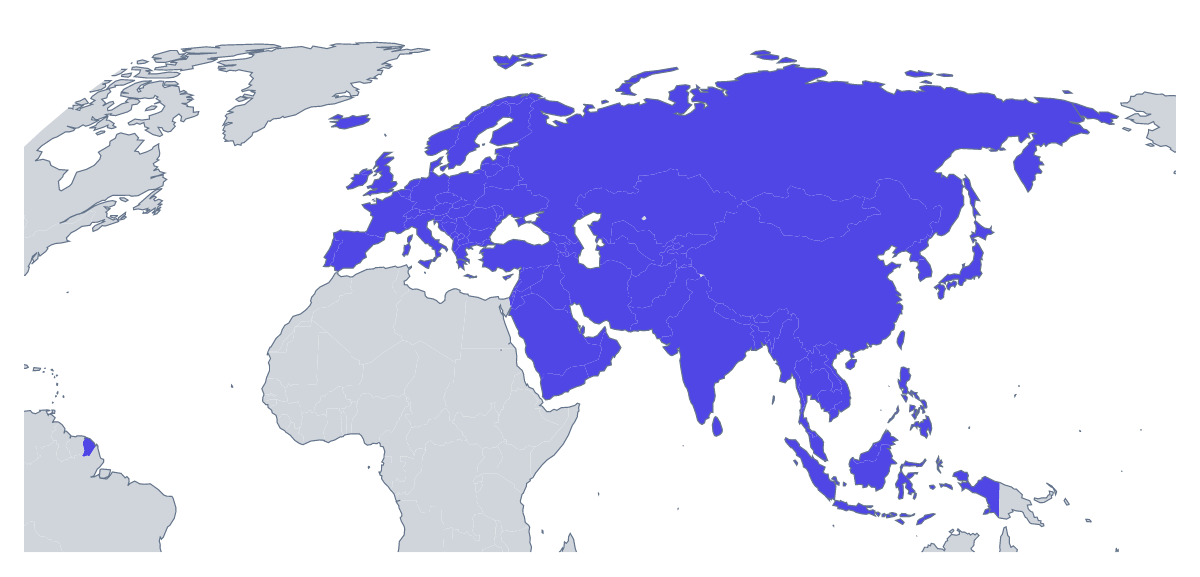
Blank map of Eurasia
The outline, free as a PNG, SVG or PDF. Label it, colour it in or drop it into a slide.
Using a blank map of Eurasia
Anyone who needs Europe and Asia as one shape tends to want it as a backdrop: behind a logistics slide, across a report cover, on the wall of a classroom. Outline only gives the land as a single piece; With borders adds the lines between the 105 countries and territories. Each comes as a PNG on a transparent background, an SVG or a PDF.
Backdrops for slides and reports
With a transparent PNG the slide's colour shows through, so the map can sit under a title, or under route lines drawn in the slide software. The same file works as a section divider in a long report. Use Outline only when the map is only context, and put the data on top: a few markers, a flow diagram or a dotted route.
Work for a designer
The SVG opens in Illustrator, Inkscape or Figma with each member as a separate shape in With borders. A designer can fill the countries a product or a campaign reaches, thin the borders for a quieter look, or delete the shapes that do not matter and keep the rest. Because the file is vector, it scales to a wall graphic without blur.
Choosing the version
With borders is the political blank map of Eurasia, and the one for a quiz or any labelling task, with the list further down this page as the key. The smaller members are tiny at the size of a slide, so a quiz works best on a handful of larger ones. For print settings such as black and white, see the printable map of Eurasia.
How to do it in MapMaker
- Choose Outline only for a backdrop, or With borders for the 105 countries and territories.
- Download the PNG for slides and reports, or the SVG to work on it in a design tool.
- Pick PDF, A4 or PDF, Letter for a sheet that goes straight to the printer.
- Open Customise this map to add names, colours, pins or a title, then download from the editor.
The 105 members on the map
A key for labelling the map by hand.
- Afghanistan
- Akrotiri Sovereign Base Area
- Åland
- Albania
- Andorra
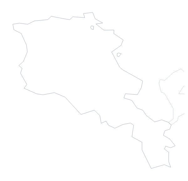
- Armenia
- Australian Indian Ocean Territories
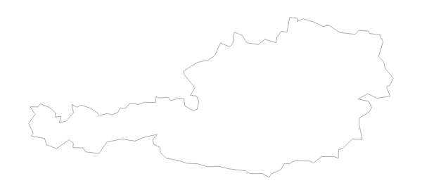
- Austria
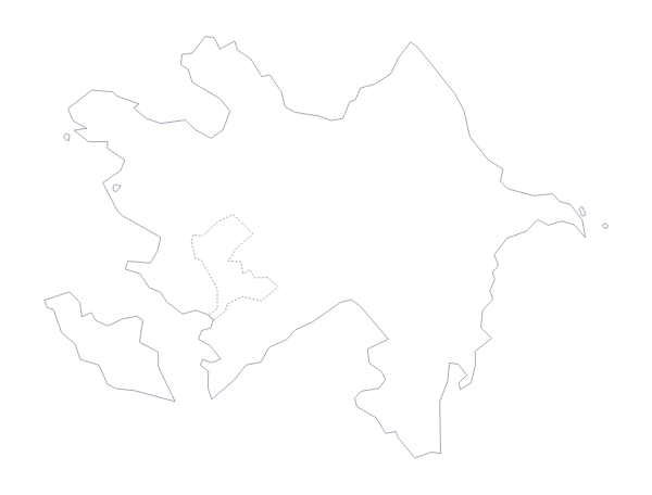
- Azerbaijan
- Bahrain
- Bangladesh
- Belarus
- Belgium
- Bhutan
- Bosnia and Herzegovina
- Brunei
- Bulgaria
- Cambodia
- China
- Croatia
- Cyprus
- Czechia
- Denmark
- Dhekelia Cantonment
- Estonia
- Faroe Islands
- Finland
- France
- Georgia
- Germany
- Gibraltar
- Greece
- Guernsey
- Hong Kong
- Hungary
- Iceland
- India
- Indonesia
- Iran
- Iraq
- Ireland
- Isle of Man
- Israel
- Italy
- Japan
- Jersey
- Jordan
- Kazakhstan
- Kosovo
- Kuwait
- Kyrgyzstan
- Laos
- Latvia
- Lebanon
- Liechtenstein
- Lithuania
- Luxembourg
- Macau
- Malaysia
- Malta
- Moldova
- Monaco
- Mongolia
- Montenegro
- Myanmar
- Nepal
- Netherlands
- North Korea
- North Macedonia
- Northern Cyprus
- Norway
- Oman
- Pakistan
- Palestine
- Philippines
- Poland
- Portugal
- Qatar
- Romania
- Russia
- San Marino
- Saudi Arabia
- Serbia
- Singapore
- Slovakia
- Slovenia
- South Korea
- Spain
- Sri Lanka
- Sweden
- Switzerland
- Syria
- Taiwan
- Tajikistan
- Thailand
- Timor-Leste
- Turkey
- Turkmenistan
- Ukraine
- United Arab Emirates
- United Kingdom
- Uzbekistan
- Vatican City
- Vietnam
- Yemen
Facts about Eurasia
105 members are on the map.
Maps of places in Eurasia
Questions people ask
Is there a political blank map of Eurasia?
Yes. The With borders version separates the 105 countries and territories with unnamed borders, so you can fill the ones you need and restyle the rest.
Which file should I use for Eurasia?
A PNG for a backdrop on a slide or in a report, an SVG for work in a design tool, a PDF for paper. With 105 shapes, the SVG is the one for a large print, since it does not blur.
Can I make the outline bigger without it going blurry?
Yes, with the SVG or the PDF. Both are vector files, so a wall-sized Eurasia keeps its lines sharp, and the smaller members stay as crisp as the larger ones.