Choropleth map of Puerto Rico
Paste your numbers and get a colour-coded map with a legend.
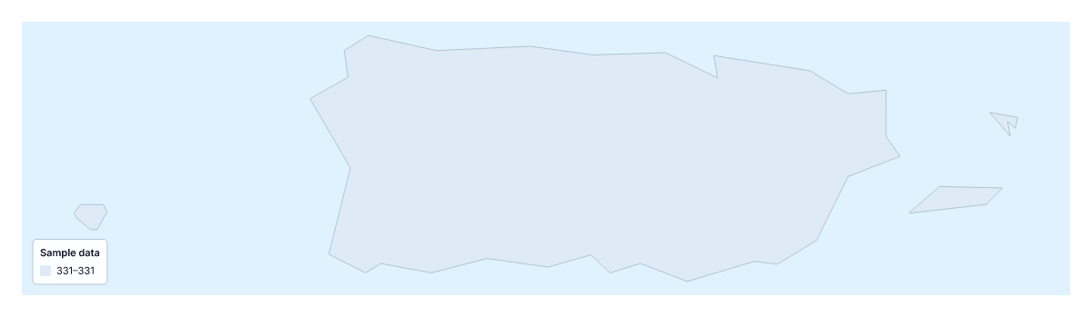
Your data on a map of Puerto Rico
On its own, the map of Puerto Rico is a single shape, so one value colours all of it. That is still useful for a slide that needs one figure shown on a labelled map, but a choropleth earns its name when there are several places to compare. For that, the choropleth page of North America has Puerto Rico as one place among many.
What one shape can show
Paste Puerto Rico in the first column and a number in the second, then choose Make my map. The editor draws the shape in a colour that matches your value and adds a legend. It suits a headline figure, such as a survey score or a rate, beside a title and a source line, when the story is only about this place.
Comparing places
For a comparison, work on the wider map. Put one row per place, with Puerto Rico among them, and the same colour scale shades them all. A rate, such as customers per person, will compare places of different sizes better than a total. Population here is about 3.2 million (a 2019 estimate), which is the sort of figure that is worth dividing by.
Typing the row
The paste box is headed "Place, Value". Use accents or not; the importer matches names in several spellings, and ISO 3166 codes for countries. Rows that do not match are listed with suggestions to fix or skip. A paste can hold up to 5,000 rows and 2 MB.
Colour
One value needs only one colour scale. Pick a one-colour scale for low-to-high data, and keep the legend title short. To colour the shape by hand, the editable map of Puerto Rico has the bar on the map.
How to do it in MapMaker
- Type or paste one row into the box, with Puerto Rico in the first column and your value in the second.
- Choose Make my map, or Upload a CSV if the figure is in a saved file.
- Pick a colour scale in the Data panel and add a data title.
- Choose Download to save the map with its legend as a PNG, SVG or PDF.
Facts about Puerto Rico
Puerto Rico is in the Caribbean. The population is about 3.2 million (2019 estimate). Puerto Rico has an area of about 9,030 km². The largest cities are San Juan, Mayagüez, Ponce and Arecibo.
Questions people ask
Can I colour Puerto Rico on its own?
Yes, but the map is a single shape with no regions, so one value colours all of it. Paste Puerto Rico and its number into the box and choose Make my map to see it filled and given a legend.
How do I compare Puerto Rico with other places?
Use the choropleth map of North America or the Caribbean, where Puerto Rico is one place among many. Paste a row for each place and the importer shades them all by the same scale.
What happens if a name doesn't match?
The editor lists the rows it could not match, with suggestions beside each. Pick the right place or skip the row. Rows for places that are not on this map are reported separately.
Is there a blank spreadsheet of Puerto Rico's regions?
No. Puerto Rico has no regions on the map, so the page has no blank spreadsheet. Paste a Place and Value row of your own, or download a spreadsheet from the page for North America.