Editable map of Puerto Rico
Colour the map, add cities and labels, and download it in minutes. Free, no sign-up.
Ideas for a map of Puerto Rico
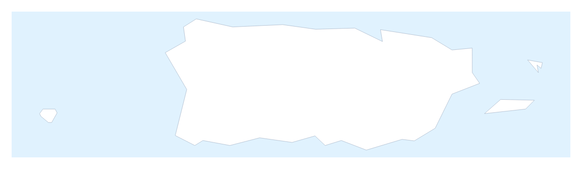
A map of Puerto Rico is mostly a map of places on it: the towns where a team works, the stops of a trip, the venues of an event. The outline opens in the editor as a single shape, with no regions to click, so most of your editing goes into pins, a route and a title, and the shape itself stays a plain backdrop.
What goes on the map
For a trip, pin San Juan, Arecibo, Mayagüez and Ponce with the city search and join them with a route. Numbered stops show the order, and the route can carry a plane icon for a flight to or from the place. A wedding or family-reunion map works the same way: pin the venues and add a short text box beside each one with a time.
A business can pin its stores or depots on the map and colour the shape in its brand colour, with a legend that says what the pins stand for. Pupils making a poster can add a title, a source line and the names of the four largest cities.
One colour, many pins
Because the map takes one colour for the whole shape, choose the colour first: pick a swatch in the bar on the map, then click Puerto Rico on the map to fill it. A second click clears it. Add your cities is the quick start for pins and Add a title for the heading. In the editor, show names, add text boxes and change the style; Vintage suits a poster and Minimal a report. The Neighbours switch draws any surrounding countries in grey, if the slide needs context.
Taking it out
For a deck, set the canvas to 16:9, and in the Download dialog use Transparent for a slide with its own background or Copy image to paste straight into PowerPoint, Google Slides or Keynote. The map for PowerPoint page has more. PNG and JPG suit documents, SVG goes to Illustrator, Inkscape or Figma, and PDF is for print; the printable map of Puerto Rico is ready to print as it is.
How to do it in MapMaker
- Pick a colour in the bar on the map and click Puerto Rico once to fill the shape.
- Choose Customise this map, then add pins for San Juan, Ponce or Arecibo with Find a city.
- Join the pins with a route, and give the map a title on the Canvas tab.
- Choose Download and save a PNG for slides or an SVG for a design tool.
Embed this map
Paste this code into your website to show this map of Puerto Rico, with a small credit link back to MapMaker.so.
Facts about Puerto Rico
Puerto Rico is in the Caribbean. The population is about 3.2 million (2019 estimate). Puerto Rico has an area of about 9,030 km². The largest cities are San Juan, Mayagüez, Ponce and Arecibo.
Questions people ask
Can I add my own cities or pins to the map of Puerto Rico?
Yes. Add your cities opens the pin tool with the city search ready, so you can type San Juan, Mayagüez, Ponce or Arecibo and drop a pin on each. You can also click anywhere on the map to place a pin of your own.
Can I draw a route between cities in Puerto Rico?
Yes. Pin the cities you need, then join them with the Route tool. The stops are numbered in order, so a drive from San Juan to Ponce reads clearly on a trip plan or an event map.
How do I colour the map of Puerto Rico?
The map has no regions drawn, so a click colours the whole shape. Pick a swatch in the bar on the map, click the map once and click again to clear it. Pins, text and a legend carry the detail.
Do I need an account to edit the map?
No. The map opens in the editor with no sign-up and no account, free during launch, and the maps you change are saved in your own browser, under Your maps.