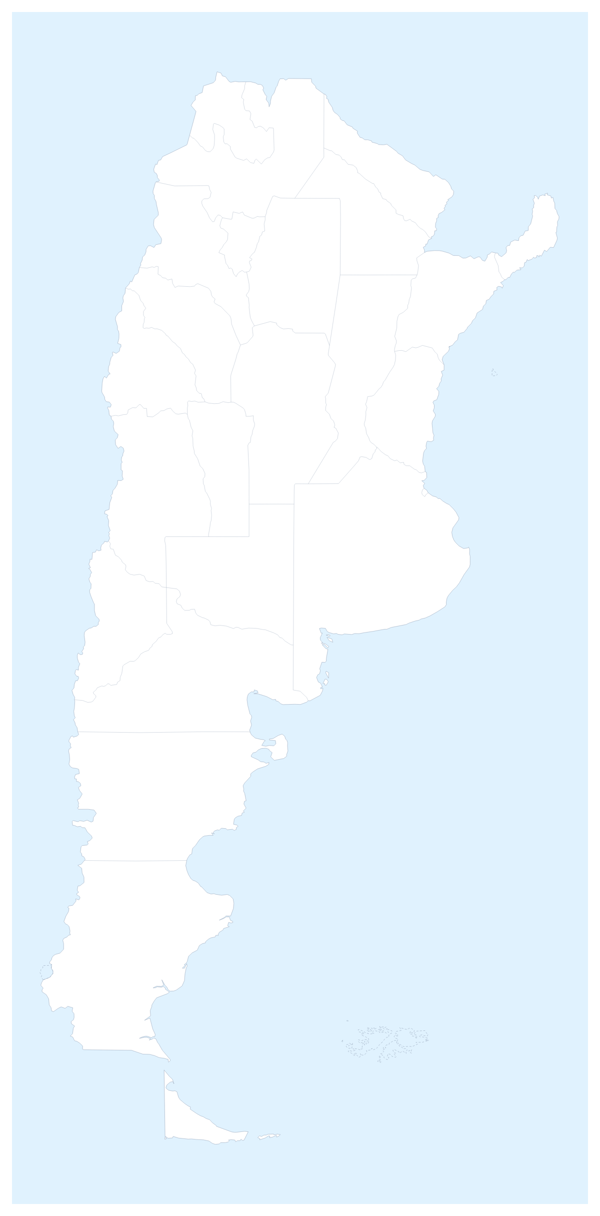
Editable map of Argentine provinces
Colour the regions, add cities and labels, and download it in minutes. Free, no sign-up.
Ideas for a map of Argentine provinces
The usual reason to edit a map of the Argentine provinces is to show something by province: who is served from where, which provinces a survey reached, or which ones a class has covered. The map opens in the editor with 23 provinces and the Autonomous City of Buenos Aires drawn, so you start from the shapes and go straight to the colours.
Branches, routes and survey areas
A business with regional branches can give each branch a colour and click the provinces it supports, then pin Buenos Aires, Córdoba, Rosario, Mendoza and Tucumán so the slide shows where the branches sit. A route between three of those cities, with numbered stops, makes a sales tour clear at a glance. Research teams can colour the provinces a survey covered, in one colour for finished and another for planned, and add a legend that says so. Switch on Neighbours to put Chile, Uruguay, Paraguay, Bolivia and Brazil in grey around the provinces.
Class work
Pupils colouring a map of the provinces can start with the ones they know, such as Misiones, Salta or Tierra del Fuego, and add names with Show names as they learn the rest. A trip diary suits a pinned route with a title.
Settings and style
Use the bar on the map for quick colours, and Customise this map when you want the full place list in the editor. Add your cities opens the pin tool and Add a title opens the title field. Minimal suits a report, Blueprint a planning slide and Vintage a poster.
Files and slides
Set the canvas to 16:9 for a deck. A PNG with Transparent on lets the slide's own background show; Copy image pastes the map directly into PowerPoint, Google Slides or Keynote, and the map for PowerPoint page has more ideas. SVG goes to a design tool. The country's page, the editable map of Argentina, has the same provinces, and the printable map of Argentine provinces is for paper.
How to do it in MapMaker
- Click a colour in the bar on the map, then each province it should cover, and switch on Neighbours if the countries around should show.
- Choose Customise this map to carry on in the editor with every province listed.
- Pin Córdoba, Rosario or Mendoza with Find a city, then add a route and a title on the Canvas tab.
- Choose Download and save a PNG for slides or an SVG for a design tool.
Embed this map
Paste this code into your website to show this map of Argentine provinces, with a small credit link back to MapMaker.so.
Facts about Argentine provinces
This map shows 23 provinces and the Autonomous City of Buenos Aires in South America. Together they have an area of about 2,780,000 km². The capital is Buenos Aires. The population is about 45 million (2019 estimate). The largest cities are Buenos Aires, Córdoba, Rosario, Mendoza and Tucumán.
Questions people ask
How do I colour the Argentine provinces?
Choose a colour in the bar on the map and click a province to fill it; click it again to clear it. In the editor, which Customise this map opens, the place list names every province so you can find Chubut or Jujuy without zooming.
Can I draw a route between Buenos Aires, Córdoba and Mendoza?
Yes. Pin the three cities with Find a city, then join them with the Route tool. Numbered stops show the order, and a plane icon can be switched on for a flight, which suits a sales tour or a trip plan.
How do I show the countries around Argentina?
Switch on Neighbours in the bar on the map. Chile, Uruguay, Paraguay, Bolivia and Brazil appear in grey beside the provinces, so a slide about cross-border trade or a route shows where each one lies.
Which file formats can I download?
PNG, JPG and SVG from the Download dialog, plus PDF on A4, Letter or A3. PNG or JPG suits a slide or a report, and SVG keeps the province lines sharp for Illustrator, Inkscape or Figma.