Printable map of Argentine provinces
Free PDFs, ready for A4 or Letter. Print in colour or black and white.
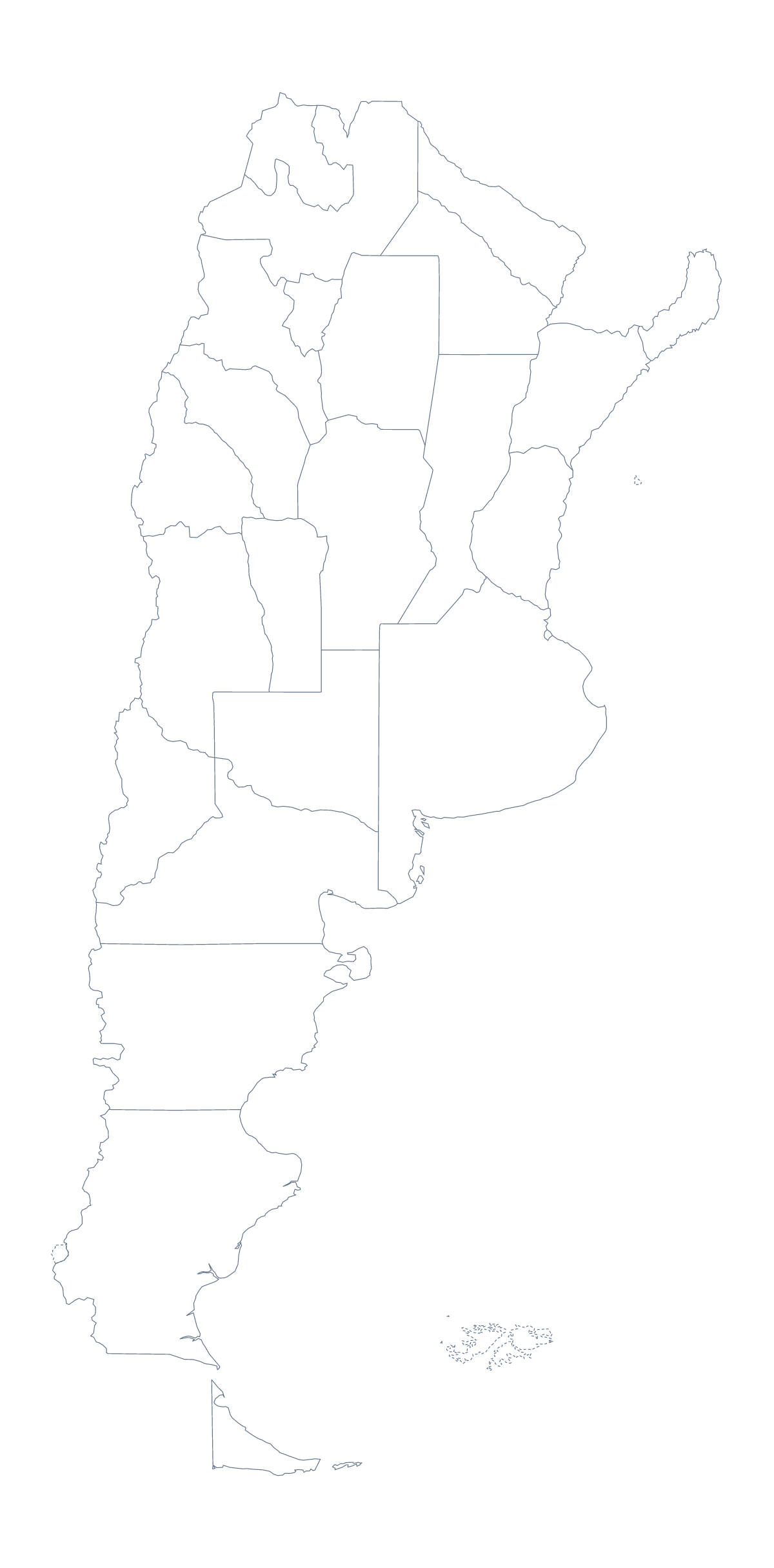
Printing a map of Argentine provinces
Teachers who print a map of the Argentine provinces usually want one thing from it: a sheet where each province is a shape pupils can name. The version with regions gives that, with 23 provinces and the Autonomous City of Buenos Aires drawn and no names. The blank outline is the country on its own, for colouring or for pupils who draw the lines in themselves. Both come as PDFs for A4 or Letter.
A display makes a good first project. Print the version with regions on A4, give each group of pupils five or six provinces, and have them colour and label their share before the sheets are pinned up as a single wall map. Misiones, Salta, Jujuy and Tierra del Fuego are good first picks for younger children. A group that finishes early can add the largest cities with a dot and a name: Buenos Aires, Córdoba, Rosario, Mendoza and Tucumán.
For older pupils, a timed quiz works well. Number ten provinces on a printed copy, give three minutes and check against the list of provinces further down this page. Photocopy a class set in black and white and keep a colour copy as the master. Pupils who finish early can swap with a neighbour, mark the sheet in a different colour and hand it back for corrections before the key goes up on the board.
Print settings
Print at 100% when you need copies to match, or fit to page if your printer trims the edge. For names, a title or A3, choose Customise before printing. The printable map of Argentina shows the country on its own.
How to do it in MapMaker
- Choose With regions for the provinces, or Blank outline for the country's shape.
- Pick A4 or Letter, and Colour or Black and white.
- Open the PDF and print it at 100%.
- Colour a few provinces with the bar on the map when you want a prepared sheet, then use Download your map.
- Choose Customise before printing for A3, names or a title.
The 23 provinces and the Autonomous City of Buenos Aires on the map
A key for labelling the map by hand.
- Buenos Aires
- Buenos Aires
- Catamarca
- Chaco
- Chubut
- Córdoba
- Corrientes
- Entre Ríos
- Formosa
- Jujuy
- La Pampa
- La Rioja
- Mendoza
- Misiones
- Neuquén
- Río Negro
- Salta
- San Juan
- San Luis
- Santa Cruz
- Santa Fe
- Santiago del Estero
- Tierra del Fuego
- Tucumán
Facts about Argentine provinces
This map shows 23 provinces and the Autonomous City of Buenos Aires in South America. Together they have an area of about 2,780,000 km². The capital is Buenos Aires. The population is about 45 million (2019 estimate). The largest cities are Buenos Aires, Córdoba, Rosario, Mendoza and Tucumán.
Questions people ask
How many provinces does the printable map show?
The version with regions shows 23 provinces and the Autonomous City of Buenos Aires, each drawn as its own shape. The list further down this page names them, so it doubles as an answer key.
What is the difference between the blank outline and the version with provinces?
The blank outline is the shape of the country with no lines inside it. The version with regions draws every province and the Autonomous City of Buenos Aires, with no names, ready for pupils to label.
Which paper sizes can I print it on?
A4 and Letter, each in colour or black and white. For a larger display, choose Customise before printing, and the editor can download a PDF on A3.
Is there an answer key for a quiz?
Yes. The list of provinces on this page works as the key. Number some provinces on a printed copy, hand it out and check the answers against the list afterwards.