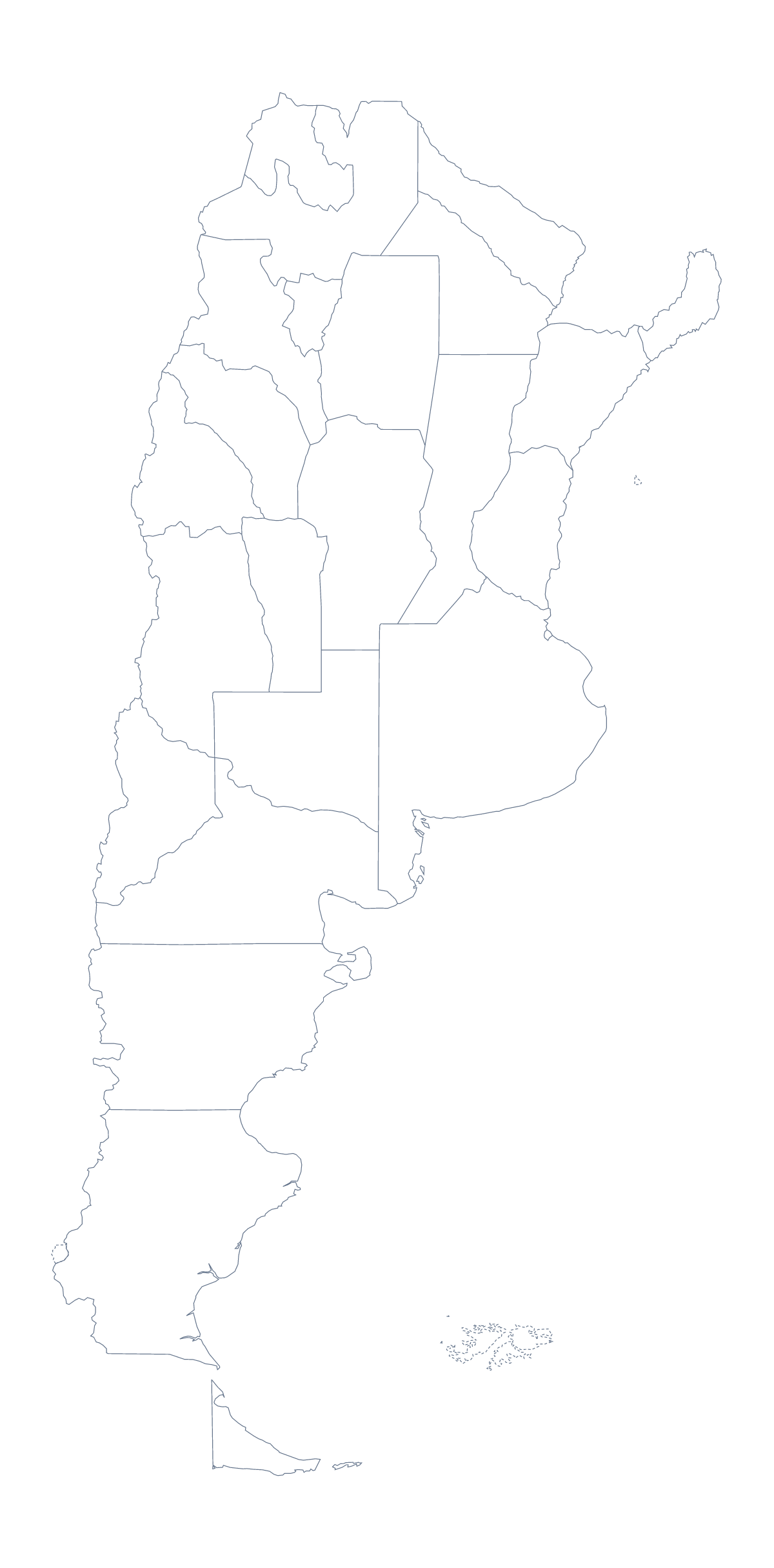
Blank map of Argentine provinces
The outline, free as a PNG, SVG or PDF. Label it, colour it in or drop it into a slide.
Using a blank map of Argentine provinces
A talk or a report on the Argentine provinces is easier to build when the shapes come as a file you can drop into your own slides or document. With borders draws 23 provinces and the Autonomous City of Buenos Aires without names, and this page leads with it. Outline only is the shape of the country with nothing inside. Both come as a PNG on a transparent background, an SVG and a PDF.
Slides that move through the provinces
Put the With borders PNG on a slide and fill one province in a bright colour, then repeat on the next slide for the next one a talk covers. Salta, Chubut, Mendoza, Neuquén and Corrientes make a fair first five. Because the PNG's background is transparent, it takes the colour of a slide or a page that is not white.
Posters and design
The SVG opens in Illustrator, Inkscape or Figma, so a designer can restyle the lines, trace the outline or scale the map up for a poster without blurring. A report cover can set the map in a pale tint behind the title, with the provinces a section covers filled in a stronger colour; the list further down this page gives the spelling of every province. Outline only suits a title slide or a logo sketch. The blank map of Argentina gives that same outline a page of its own.
Taking it further
For the pins, names or colours a task needs, Customise this map opens the outline in the editor. For sheets of paper with ink and colour choices, the printable map of Argentine provinces has them.
How to do it in MapMaker
- Choose With borders for the 23 provinces and the Autonomous City of Buenos Aires, or Outline only for the country alone.
- Pick the PNG for slides and worksheets, or the SVG for a design tool.
- Take PDF, A4 or PDF, Letter if the outline goes straight to a printer.
- Fill one province per slide in your slide software, and check each spelling against the list on this page.
- Choose Customise this map to add names, pins or colours.
The 23 provinces and the Autonomous City of Buenos Aires on the map
A key for labelling the map by hand.
- Buenos Aires
- Buenos Aires
- Catamarca
- Chaco
- Chubut
- Córdoba
- Corrientes
- Entre Ríos
- Formosa
- Jujuy
- La Pampa
- La Rioja
- Mendoza
- Misiones
- Neuquén
- Río Negro
- Salta
- San Juan
- San Luis
- Santa Cruz
- Santa Fe
- Santiago del Estero
- Tierra del Fuego
- Tucumán
Facts about Argentine provinces
This map shows 23 provinces and the Autonomous City of Buenos Aires in South America. Together they have an area of about 2,780,000 km². The capital is Buenos Aires. The population is about 45 million (2019 estimate). The largest cities are Buenos Aires, Córdoba, Rosario, Mendoza and Tucumán.
Questions people ask
What is the difference between Outline only and With borders?
Outline only is the shape of the country with no lines inside. With borders draws the 23 provinces and the Autonomous City of Buenos Aires as separate shapes, still with no names, so there is something to label.
Is there a political blank map of the Argentine provinces?
Yes. The With borders version is the political blank map. It comes first on this page, as a PNG with a transparent background, an SVG and a PDF.
Is there an answer key for a labelling quiz?
Yes. The list of provinces further down this page names every one, so it works as the key. Number the provinces on your own worksheet and check the answers against the list.
Can I print the blank map?
Yes. Take the PDF in A4 or Letter. The printable map of Argentine provinces has more choices, including black and white and colouring a few provinces before you print.