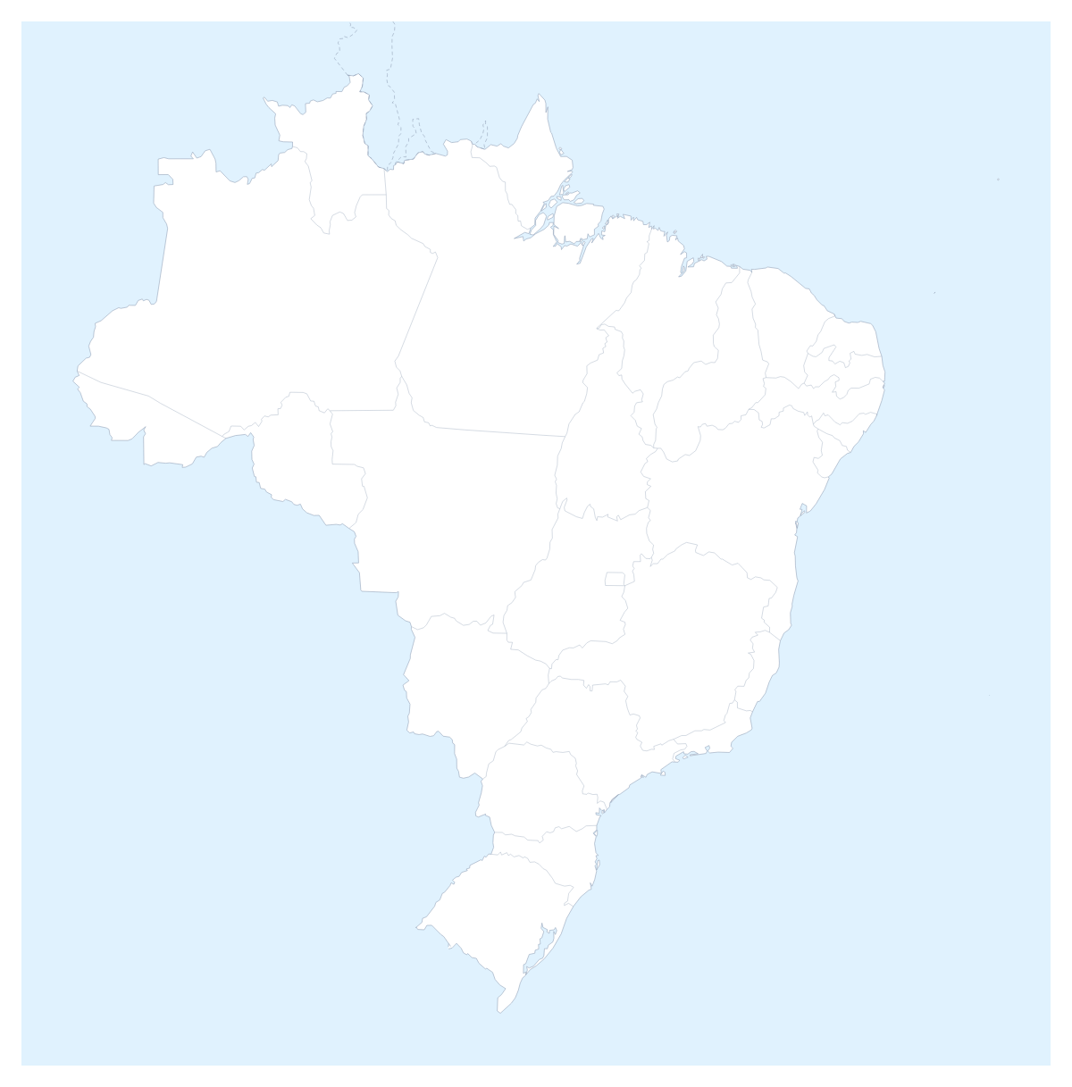
Editable map of Brazilian states
Colour the regions, add cities and labels, and download it in minutes. Free, no sign-up.
Ideas for a map of Brazilian states
Brazilian states are how most sales reports, delivery networks and school projects divide the country, and this map opens in the editor with all 26 states and the Federal District drawn. You decide what the colours mean: a coverage area, a ranking, a route, a lesson.
A regional report on one slide
Give the states a colour by how each region performed, for example three shades of one colour from lowest to highest, and add a legend that names each band. Pin São Paulo, Rio de Janeiro, Belo Horizonte and Porto Alegre for the distribution centres, and give Brasília a pin of its own colour as the capital. When you have a figure for every state, the choropleth map of Brazil colours them from a pasted spreadsheet instead.
Lessons and trips
For a geography project, pupils can colour the states one theme at a time and show the names of Amazonas, Pará, Bahia and Rio Grande do Sul. For a trip, pin Rio de Janeiro, São Paulo and Porto Alegre, join them with a route and number the stops so the order is plain. The Neighbours switch draws the countries around Brazil in grey, with Argentina, Uruguay and Paraguay among them.
Getting the look right
The bar on the map holds the colours, Borders for line weight and Sea for a white sea. In the editor, which Customise this map opens, the place list names every state, so Acre or Tocantins is a pick away, and a click on a state brings up a card with colours and Show names. Minimal keeps a report quiet; Vintage suits a poster for a classroom wall.
For slides
Set the canvas to 16:9 before you colour, so the map fills the slide. In the Download dialog, a PNG with Transparent on sits on the slide's own background, and Copy image pastes straight into PowerPoint, Google Slides or Keynote. A regional slide reads best with the legend on one side and two or three figures beside it; the map for PowerPoint page has more. Take SVG when a designer will restyle the lines, and see the editable map of Brazil for the country on its own.
How to do it in MapMaker
- Pick a colour in the bar on the map and click the states in that band, repeating for each shade of your ranking.
- Open Customise this map, then add a title and a legend on the Canvas tab and rename the bands under Legend labels.
- Pin São Paulo, Rio de Janeiro or Brasília with Find a city.
- Choose Download and save a PNG for the slide, or SVG to restyle it in a design tool.
Embed this map
Paste this code into your website to show this map of Brazilian states, with a small credit link back to MapMaker.so.
Facts about Brazilian states
This map shows 26 states and the Federal District in South America. Together they have an area of about 8,500,000 km². The capital is Brasília. The population is about 210 million (2019 estimate). The largest cities are São Paulo, Rio de Janeiro, Belo Horizonte, Porto Alegre and Brasília.
Questions people ask
How do I colour the Brazilian states?
Pick a colour in the bar on the map and click each state to fill it; click it again to clear it. Choose Customise this map to work from the editor's place list, which names all 26 states and the Federal District.
Can I colour the states by how a region performed?
Yes, by hand: choose three or four shades of one colour, click each state into its band and add a legend that names the bands. If you have a figure for every state, the choropleth map of Brazil colours them from a pasted spreadsheet.
Can I add São Paulo, Rio de Janeiro or Brasília to the map?
Yes. Add your cities opens the pin tool with Find a city ready. Type São Paulo, Rio de Janeiro, Belo Horizonte, Porto Alegre or Brasília and the pin lands on it, ready to rename for your own office or stop.
Can I use the map in PowerPoint or Google Slides?
Yes. Set the canvas to 16:9, then download a PNG, with Transparent on for a slide that has its own background, or use Copy image in the Download dialog and paste the map straight into the slide.