Printable map of Brazilian states
Free PDFs, ready for A4 or Letter. Print in colour or black and white.
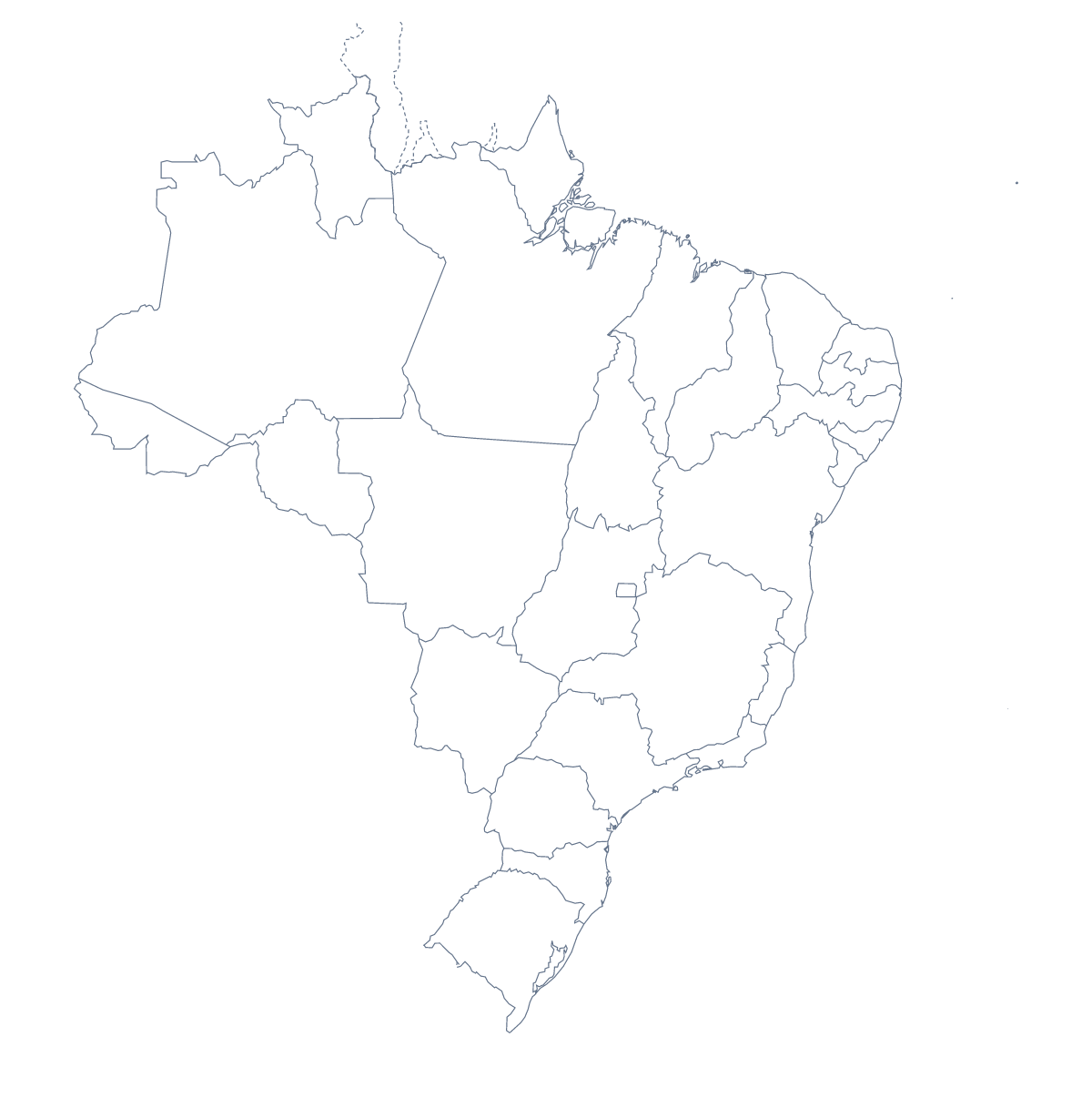
Printing a map of Brazilian states
Most people who print a map of the Brazilian states are helping with homework, filling in a project or setting up a lesson. The version with regions shows all 26 states and the Federal District; the blank outline shows the country's shape on its own. Both are free PDFs for A4 or Letter, and neither carries names.
At the kitchen table
Children can start by colouring the state where they live, then the states where relatives live, and building a key to match. A parent helping with a project can ask for five dots: São Paulo, Rio de Janeiro, Belo Horizonte, Porto Alegre and Brasília, each with its name written beside it. Print a second copy in black and white for crayons and keep the first as the neat copy.
In a classroom
For a class set, choose black and white and photocopy. Pupils work through the list of states further down this page, which doubles as the answer key, writing in as many as they can: Amazonas, Pará, Bahia, Paraná and Santa Catarina make a good first batch of five. Then they swap sheets and mark each other's. For a display, give each group a region of the sheet to colour and cut the sheets together.
Before you press print
With regions suits any task about the states; Blank outline suits colouring the whole country in one colour. Print at 100% for matching copies, or fit to page if your printer trims the edge. To colour a few states in advance, use the bar on the map and Download your map; for names, a title or A3, Customise before printing opens the editor. The printable map of Brazil shows the country alone.
How to do it in MapMaker
- Choose With regions for the 26 states and the Federal District, or Blank outline for one big shape.
- Pick A4 or Letter, and Black and white if crayons or a photocopier are coming.
- Print the PDF at 100%, or fit to page if the edge is cut.
- To prepare a version of your own, colour states in the bar on the map and choose Download your map.
- Choose Customise before printing to add a title or names first.
The 26 states and the Federal District on the map
A key for labelling the map by hand.
- Acre
- Alagoas
- Amapá
- Amazonas
- Bahia
- Ceará
- Espírito Santo
- Federal
- Goiás
- Maranhão
- Mato Grosso
- Mato Grosso do Sul
- Minas Gerais
- Pará
- Paraíba
- Paraná
- Pernambuco
- Piauí
- Rio de Janeiro
- Rio Grande do Norte
- Rio Grande do Sul
- Rondônia
- Roraima
- Santa Catarina
- São Paulo
- Sergipe
- Tocantins
Facts about Brazilian states
This map shows 26 states and the Federal District in South America. Together they have an area of about 8,500,000 km². The capital is Brasília. The population is about 210 million (2019 estimate). The largest cities are São Paulo, Rio de Janeiro, Belo Horizonte, Porto Alegre and Brasília.
Questions people ask
How many states does the printable map of Brazilian states show?
The version with regions shows 26 states and the Federal District, each as its own shape. The list on this page names them, so it works as an answer key for a labelling task.
Can children colour the map in?
Yes. Print With regions in black and white and the 26 states and the Federal District have clear lines for crayons. A Blank outline copy suits the youngest, who only need one big shape to colour.
Does the printable map show the names of the states?
No. The PDFs have no names printed, so children can write them in from the list on this page. For a copy with names, choose Customise before printing and show them in the editor.
Can I mark São Paulo and Rio de Janeiro on it?
Yes, by hand. The sheets carry no city names, so children can add a dot and write São Paulo, Rio de Janeiro, Belo Horizonte, Porto Alegre or Brasília beside it, using an atlas.