Editable map of French departments
Colour the regions, add cities and labels, and download it in minutes. Free, no sign-up.
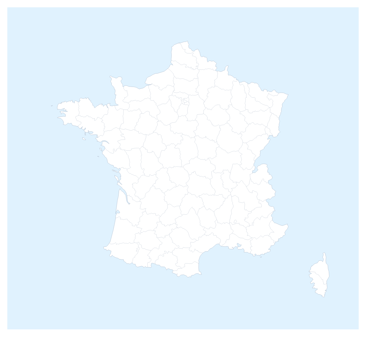
Ideas for a map of French departments
A map of the French departments is the right grain for work that sits between a country and a town: a delivery zone, a franchise area, a regional audit, a lesson on how the country is divided. The map opens in the editor with all 101 departments drawn, so most of the job is choosing which ones get a colour.
Zones and audits
A logistics planner can colour the departments each depot serves, using one colour per depot, and pin the depots in Lyon, Marseille and Lille. An auditor can colour the departments visited so far in one colour and those still to go in another, then paste the slide into the weekly report. A franchise network can shade the departments where it has a shop, so a gap shows as grey. Keep the colours to a few: with 101 shapes on the page, three or four shades read more clearly than ten.
In the classroom
A language or geography class can take a handful of departments each, such as Hérault, Manche, Vendée and Alpes-Maritimes, colour them and write the names beside them with Show names. Older pupils can add Paris, Lyon and Nice as pins and see how the zones they coloured sit around them.
Choosing your tools
Small departments are hard to hit on a page map, so lean on Customise this map for those: the place list names each one. The Neighbours switch draws Belgium, Germany, Switzerland and Italy in grey, and Borders sets the line weight. Minimal is quiet enough for an audit, while Vintage suits a poster.
Out to the deck
Set the canvas to 16:9, then download a PNG with Transparent on for a slide with its own background, or Copy image and paste into PowerPoint, Google Slides or Keynote. The map for PowerPoint page has more. SVG goes to a design tool. The country's own page, the editable map of France, shows the same departments, and the printable map of French departments is for paper.
How to do it in MapMaker
- Click a colour in the bar on the map and then the departments, using Neighbours to put Belgium, Germany or Italy in grey.
- Choose Customise this map and pick small departments from the place list.
- Pin Lyon, Marseille or Lille with Find a city, then add a legend on the Canvas tab.
- Choose Download, and pick PNG for a deck or SVG for a design tool.
Embed this map
Paste this code into your website to show this map of French departments, with a small credit link back to MapMaker.so.
Facts about French departments
This map shows 101 departments in Western Europe. Together they have an area of about 636,000 km². The capital is Paris. The population is about 67 million (2019 estimate). The largest cities are Paris, Lyon, Marseille, Lille and Nice.
Questions people ask
How do I colour the French departments?
Choose a colour in the bar on the map and click departments to fill them. Clicking one again clears it. Customise this map opens the editor, where the place list names all 101 departments, so you can pick Dordogne or Morbihan by name.
Can I show the names of the departments?
Yes. In the editor, select the departments you want named and choose Show names on the card. Naming all 101 at once crowds a slide, so name the ones the slide is about and let a legend carry the rest.
Can I add Lyon, Marseille or Nice to the map?
Yes. Add your cities opens the pin tool with Find a city ready. Type Lyon, Marseille, Lille or Nice and the pin lands on it. You can rename the pin to match your own office, shop or stop.
How do I group departments into delivery zones?
Give each zone one colour and click every department it covers. The legend gets one line per colour, which you can rename under Legend labels in the Data panel, for example with a depot or a driver's round.