Blank map of French departments
The outline, free as a PNG, SVG or PDF. Label it, colour it in or drop it into a slide.
Using a blank map of French departments
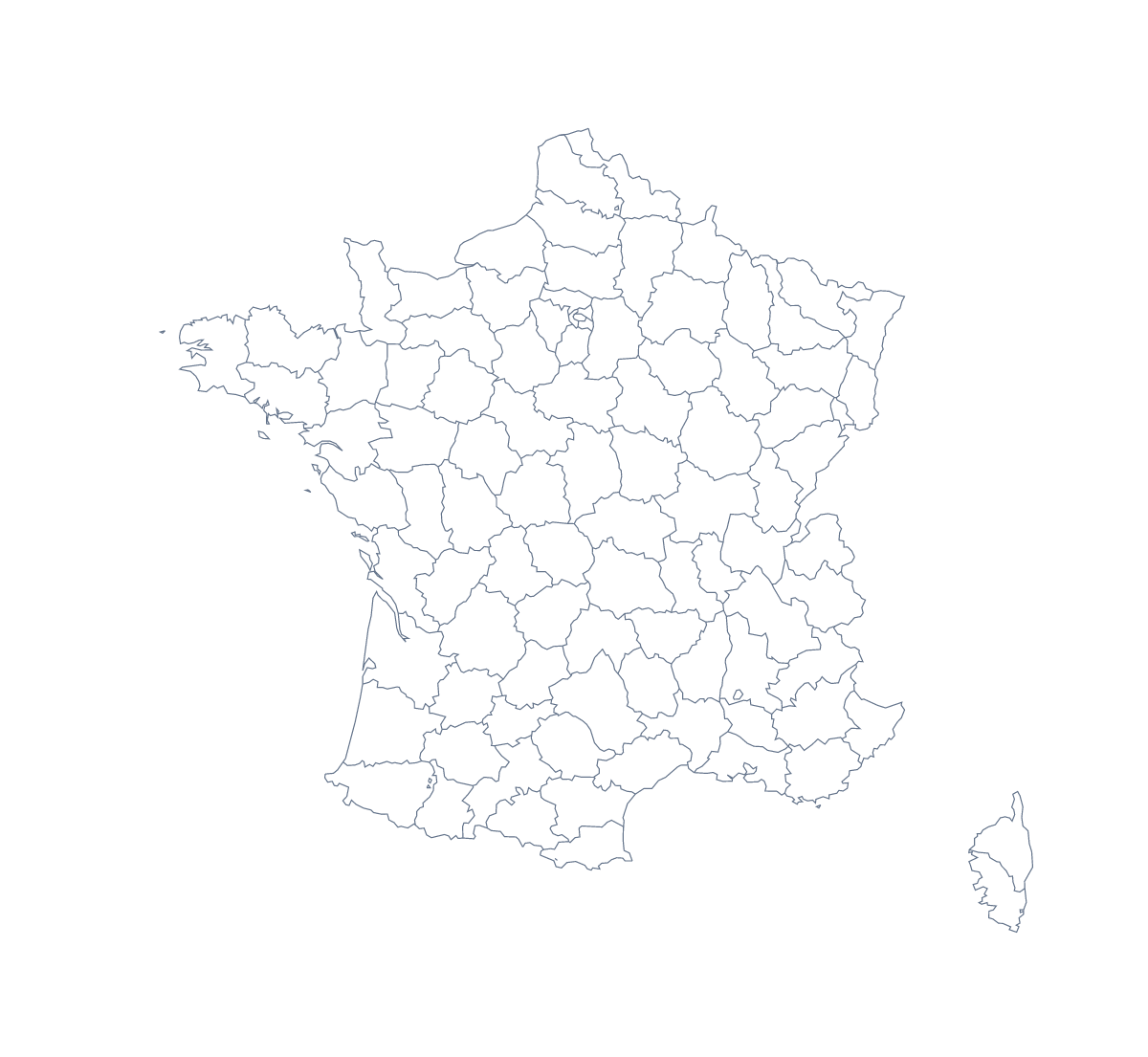
People who ask for a blank map of the French departments usually have a document of their own in mind: a language worksheet, a revision card, a slide on regional sales. The shapes are here as files. With borders draws all 101 departments with no names and comes first on this page; Outline only is the shape of the country with nothing inside it.
A page of your own
Drop the With borders PNG into a word processor, shrink it to half a page and write your text beside it: a regional report, a language handout or a sales note. Alpes-Maritimes, Finistère, Calvados, Gard and Moselle are a fair mix to highlight. Keep the list further down this page open for spelling. Because the PNG's background is transparent, a tinted page shows through the shapes.
Slides and designs
In a deck, place the PNG on a title slide and write over it. In a design tool, open the SVG, reduce the line weight and use the map as a pale texture behind a report's cover. A brand can colour the departments it serves by hand in the file and leave the rest as faint lines.
Which version
The political blank map of the French departments is the With borders version, and Outline only is the silhouette of the country, also on the blank map of France. The PDF comes in A4 and Letter for a sheet to print; choices such as black and white are on the printable map of French departments. For names, a title or colours, Customise this map opens the editor.
How to do it in MapMaker
- Choose With borders for the 101 departments, or Outline only for the country's shape.
- Pick the PNG for a worksheet or slide, or the SVG for a design tool.
- Take PDF, A4 or PDF, Letter to print the sheet.
- Write your text beside the PNG in your document, and check each department's spelling against the list on this page.
- Choose Customise this map to add names, colours or a title.
The 101 departments on the map
A key for labelling the map by hand.
- Ain
- Aisne
- Allier
- Alpes-de-Haute-Provence
- Alpes-Maritimes
- Ardèche
- Ardennes
- Ariège
- Aube
- Aude
- Aveyron
- Bas-Rhin
- Bouches-du-Rhône
- Calvados
- Cantal
- Charente
- Charente-Maritime
- Cher
- Corrèze
- Corse-du-Sud
- Côte-d’Or
- Côtes-d'Armor
- Creuse
- Deux-Sèvres
- Dordogne
- Doubs
- Drôme
- Essonne
- Eure
- Eure-et-Loir
- Finistère
- French Guiana
- Gard
- Gers
- Gironde
- Guadeloupe
- Haut-Rhin
- Haute-Corse
- Haute-Garonne
- Haute-Loire
- Haute-Marne
- Haute-Saône
- Haute-Savoie
- Haute-Vienne
- Hautes-Alpes
- Hautes-Pyrénées
- Hauts-de-Seine
- Hérault
- Ille-et-Vilaine
- Indre
- Indre-et-Loire
- Isère
- Jura
- Landes
- Loir-et-Cher
- Loire
- Loire-Atlantique
- Loiret
- Lot
- Lot-et-Garonne
- Lozère
- Maine-et-Loire
- Manche
- Marne
- Martinique
- Mayenne
- Mayotte
- Meurthe-et-Moselle
- Meuse
- Morbihan
- Moselle
- Nièvre
- Nord
- Oise
- Orne
- Paris
- Pas-de-Calais
- Puy-de-Dôme
- Pyrénées-Atlantiques
- Pyrénées-Orientales
- Réunion
- Rhône
- Saône-et-Loire
- Sarthe
- Savoie
- Seine-et-Marne
- Seine-Maritime
- Seine-Saint-Denis
- Somme
- Tarn
- Tarn-et-Garonne
- Territoire de Belfort
- Val-d'Oise
- Val-de-Marne
- Var
- Vaucluse
- Vendée
- Vienne
- Vosges
- Yonne
- Yvelines
Facts about French departments
This map shows 101 departments in Western Europe. Together they have an area of about 636,000 km². The capital is Paris. The population is about 67 million (2019 estimate). The largest cities are Paris, Lyon, Marseille, Lille and Nice.
Questions people ask
Is there a political blank map of the French departments?
Yes. The With borders version is the political blank map. It draws all 101 departments as separate shapes with no names, and this page puts it first.
How many departments does the blank map show?
The With borders version shows 101 departments. The list further down this page names each one, which makes it the answer key for a labelling exercise.
Does the blank map show the names of the departments?
No. Blank maps carry no names, which is the point. Use the list on this page as a key, or choose Customise this map to show names and add a title in the editor.
Which file should I use in a worksheet, a slide or a design?
Use the PNG in a worksheet or slide, since its background is transparent. Use the SVG in Illustrator, Inkscape or Figma, and the PDF when the outline goes straight to a printer.