Editable map of German states
Colour the regions, add cities and labels, and download it in minutes. Free, no sign-up.
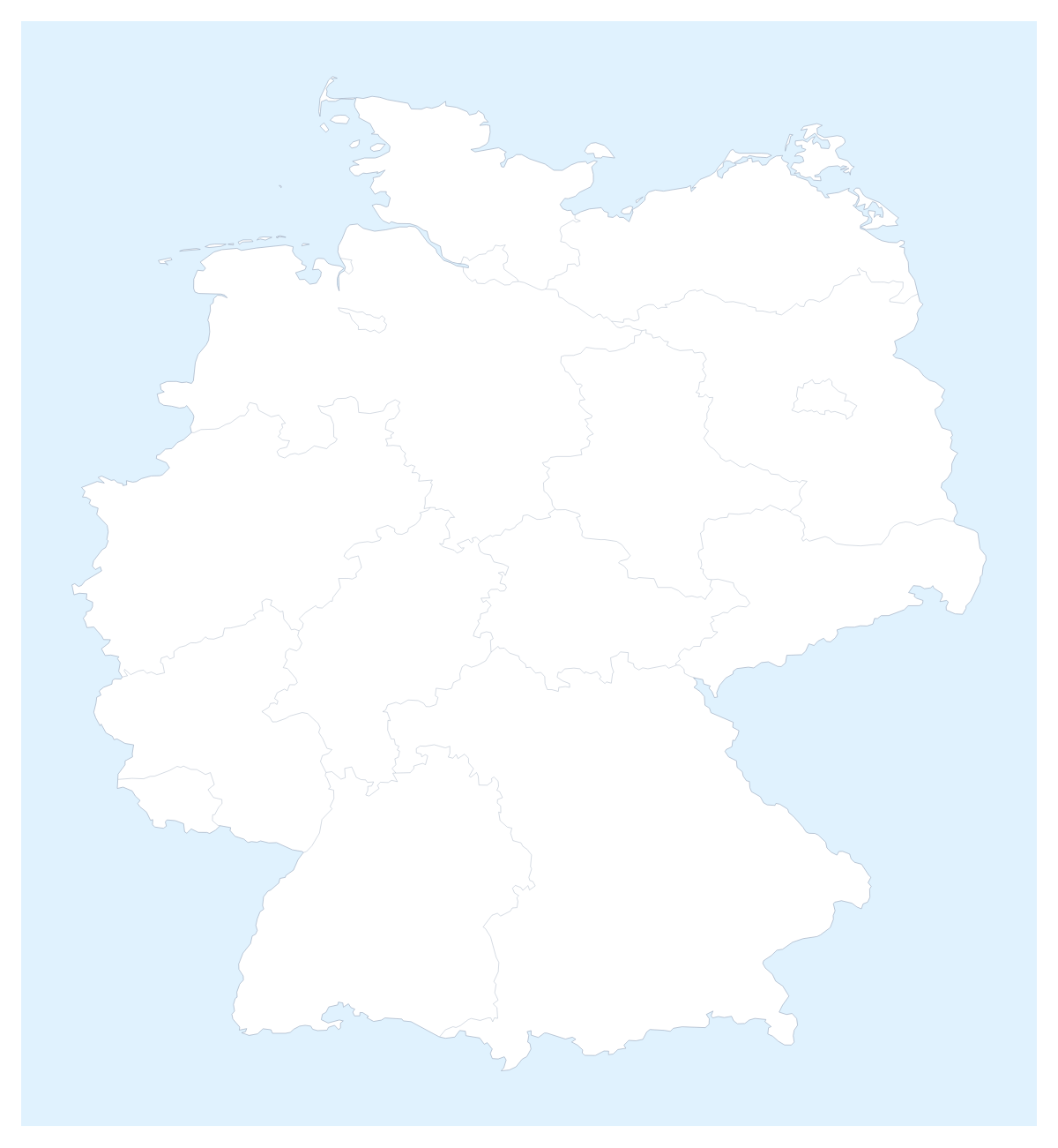
Ideas for a map of German states
With only 16 states to work with, a map of the German states is quick to colour and easy to read from the back of a room. The map opens in the editor with every state drawn, so a plan, a lesson or a report can go from blank to coloured in a few minutes.
Plants, routes and regions
A manufacturer can colour the states where it has a plant and pin the sites: Stuttgart, Frankfurt and Mannheim sit among the largest cities, alongside Berlin and Hamburg. A sales director can split the 16 states into three or four regions, give each a colour and add a legend with the name of the person responsible. A buyer planning supplier visits can switch on Neighbours so Austria, Poland, the Netherlands and Switzerland show in grey, then draw a route that starts in one of them. Because there are so few states, name them all on the slide with Show names.
Lessons, trips and displays
Pupils can learn the 16 states in batches of four, colouring one batch each week and adding names as they go; a class display with a colour for each group looks tidy on the wall. A trip is three pins, perhaps Hamburg, Berlin and Frankfurt, joined by a route with numbered stops.
What to switch on
The bar on the map gives you colours, Borders for the line weight and Sea for a white sea. Customise this map opens the editor with a place list that names each state, so you can pick Saarland without searching. Minimal suits a report and Dark a deck with a dark theme.
For slides
Set the canvas to 16:9. A PNG with Transparent on sits on a slide's own background, and Copy image pastes into PowerPoint, Google Slides or Keynote; the map for PowerPoint page has more. SVG goes to Illustrator, Inkscape or Figma. The country's page, the editable map of Germany, shows the same states, and the blank map of German states gives you the bare outline.
How to do it in MapMaker
- Pick a colour in the bar on the map and click the states you want, one colour per region.
- Choose Customise this map to carry on in the editor, where the place list names all 16 states.
- Pin Berlin, Hamburg or Frankfurt with Find a city, and add a title and legend on the Canvas tab.
- Choose Download and save a PNG for the deck or an SVG for a design tool.
Embed this map
Paste this code into your website to show this map of German states, with a small credit link back to MapMaker.so.
Facts about German states
This map shows 16 states in Western Europe. Together they have an area of about 356,000 km². The capital is Berlin. The population is about 83 million (2019 estimate). The largest cities are Berlin, Stuttgart, Frankfurt, Mannheim and Hamburg.
Questions people ask
How do I colour the German states?
Pick a colour in the bar on the map and click a state to fill it; click it again to clear it. Choose Customise this map to use the place list instead, which names all 16 states, from Baden-Württemberg to Thuringia.
Can I group the German states into regions?
Yes. Give each region one colour and click every state in it. The legend gets a line per colour, which you can rename under Legend labels in the Data panel, for example with a sales manager's name or a plant.
Can I add Berlin, Hamburg or Frankfurt to the map?
Yes. Add your cities opens the pin tool with Find a city ready. Type Berlin, Stuttgart, Frankfurt, Mannheim or Hamburg and the pin lands on it, ready to rename for your own site.
How do I show the countries around Germany?
Switch on Neighbours in the bar on the map. Austria, Poland, the Netherlands, Switzerland and other countries appear in grey around the states, which helps on a slide about suppliers or routes that cross a boundary.