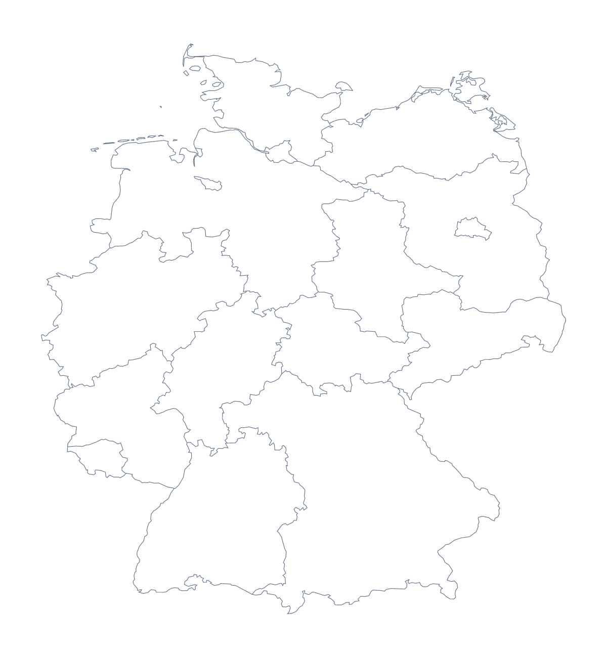
Blank map of German states
The outline, free as a PNG, SVG or PDF. Label it, colour it in or drop it into a slide.
Using a blank map of German states
A map with 16 states can be learned in a single lesson, and a blank one is the right sheet for it. With borders draws all 16 German states with no names and comes first on this page; Outline only is the shape of the country alone. Both come as a PNG on a transparent background, an SVG and a PDF for A4 or Letter.
One state per slide
In a deck, put the With borders PNG on every slide and mark a different state on each, then reveal its name on click. Bavaria, Hesse, Saxony and Saarland make a good opening four. The transparent background means the map picks up the colour of a slide in the school's palette. Training sessions for a company can run the same format for the states where its sites sit.
A page for a report
For a report or a handout, place the With borders PNG at the top of a page and fill the states a section covers in one colour, then write the section beneath. The list further down this page gives the spelling of every state.
Taking the SVG into a design
The SVG opens in Illustrator, Inkscape or Figma. A designer can thin the lines for a background, set the map in a pale tint behind a heading or restyle it to match a brand. It scales without blurring, so it works at any size.
Choosing a version
The political blank map of German states is With borders. Outline only is the silhouette, and the blank map of Germany has that outline on its own page. For colouring before printing, use the printable map of German states.
How to do it in MapMaker
- Choose With borders for the 16 states, or Outline only for the country's shape.
- Pick the PNG for a slide or worksheet, or the SVG for a design tool.
- Take PDF, A4 or PDF, Letter for a printed sheet.
- Fill the states a section covers in one colour, and check each spelling against the list on this page.
- Choose Customise this map for names, colours or a title.
The 16 states on the map
A key for labelling the map by hand.
- Baden-Württemberg
- Bavaria
- Berlin
- Brandenburg
- Free Hanseatic Bremen
- Hamburg
- Hesse
- Lower Saxony
- Mecklenburg-Western Pomerania
- North Rhine-Westphalia
- Rhineland-Palatinate
- Saarland
- Saxony
- Saxony-Anhalt
- Schleswig-Holstein
- Thuringia
Facts about German states
This map shows 16 states in Western Europe. Together they have an area of about 356,000 km². The capital is Berlin. The population is about 83 million (2019 estimate). The largest cities are Berlin, Stuttgart, Frankfurt, Mannheim and Hamburg.
Questions people ask
Is there a political blank map of German states?
Yes. It is the With borders version, which this page puts first: all 16 states drawn as separate shapes with no names, ready to label, number or colour in.
How many states does the blank map show?
The With borders version shows 16 states. The list further down this page names every one, so it is the answer key for a labelling task, and 16 is a number a class can learn in a lesson.
Does the PNG have a transparent background?
Yes. Both versions come as a PNG on a transparent background, so the map takes the colour of your slide or worksheet instead of carrying a white box.
How do I add names, a title or my own colours?
Choose Customise this map. It opens the same outline in the editor, where you can show names, colour states, add pins and a title, then download a PNG, JPG or SVG, or a PDF.