Printable map of German states
Free PDFs, ready for A4 or Letter. Print in colour or black and white.
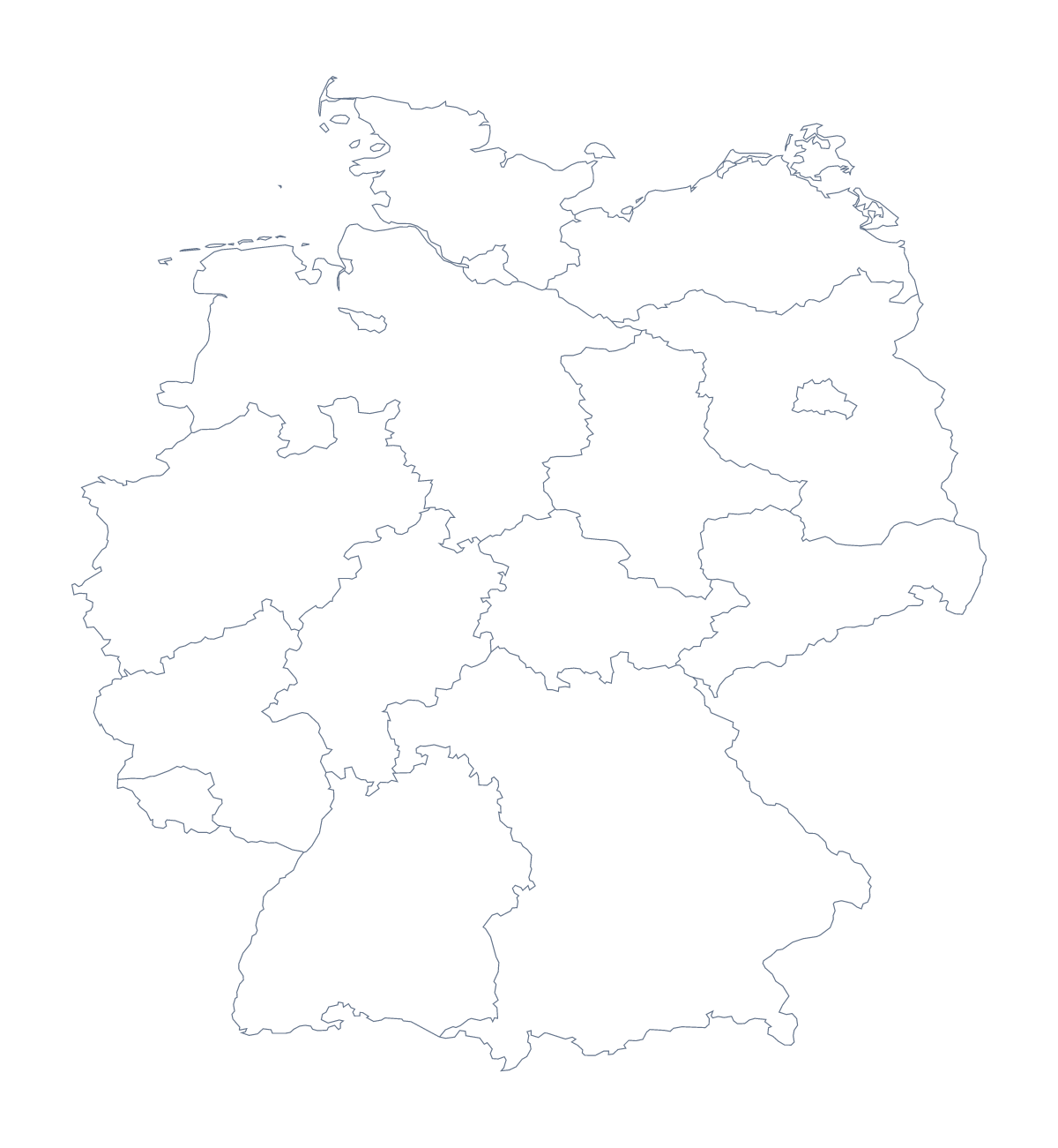
Printing a map of German states
With 16 states, this is a map a class can learn in one go, which makes the printable version a good fit for a test, a revision session or a homework sheet that a parent can mark. With regions draws all 16 states with no names, and Blank outline gives the shape of the country alone. Both are free PDFs for A4 or Letter.
A test in three rounds
Print one sheet per pupil with the states drawn. Round one: label the states you know, from the list further down this page, for five minutes. Round two: colour the four states a lesson focused on, perhaps Bavaria, Saxony, Hesse and Thuringia. Round three: swap sheets, mark each other's against the list, and tally the scores on the board. The list doubles as the answer key, so there is nothing to prepare beyond the printing.
Younger children can use the blank outline: colour the shape, then mark Berlin and Hamburg with stars and write their names beside them.
Printing it
Choose black and white for a class set; the lines stay clear after photocopying. A single colour copy makes a good wall sheet. Print at 100% for matching copies, or fit to page if the edges are trimmed. A colour-coded version for a display can be made on the page: colour states with the bar on the map, then Download your map. For names or an A3 sheet, Customise before printing opens the editor. The printable map of Germany shows the country alone.
How to do it in MapMaker
- Choose With regions for the 16 states, or Blank outline for the country's shape.
- Pick A4 or Letter, then Black and white for a class set.
- Print the PDF at 100% and number the states for the test.
- Colour the states a lesson needs with the bar on the map, and Download your map saves them in a PDF.
- Choose Customise before printing to add a title or print on A3.
The 16 states on the map
A key for labelling the map by hand.
- Baden-Württemberg
- Bavaria
- Berlin
- Brandenburg
- Free Hanseatic Bremen
- Hamburg
- Hesse
- Lower Saxony
- Mecklenburg-Western Pomerania
- North Rhine-Westphalia
- Rhineland-Palatinate
- Saarland
- Saxony
- Saxony-Anhalt
- Schleswig-Holstein
- Thuringia
Facts about German states
This map shows 16 states in Western Europe. Together they have an area of about 356,000 km². The capital is Berlin. The population is about 83 million (2019 estimate). The largest cities are Berlin, Stuttgart, Frankfurt, Mannheim and Hamburg.
Questions people ask
How many states does the printable map of German states show?
The version with regions shows all 16 states, each as its own shape. The list further down this page names them, so it works as a key for a test or a labelling sheet.
Which version should I print for a labelling worksheet?
Print With regions. All 16 states are drawn as separate shapes with no names, so pupils write them in and check against the list on this page. Blank outline is for colouring or drawing the lines.
Can I mark Berlin and Hamburg on it?
Yes, by hand. The PDFs carry no names, so pupils can write in Berlin, Hamburg, Frankfurt, Stuttgart and Mannheim themselves. To print names, choose Customise before printing and add them in the editor.
What paper sizes can I print it on?
A4 and Letter, each in colour or black and white. For a bigger wall version, choose Customise before printing and download an A3 PDF from the editor.