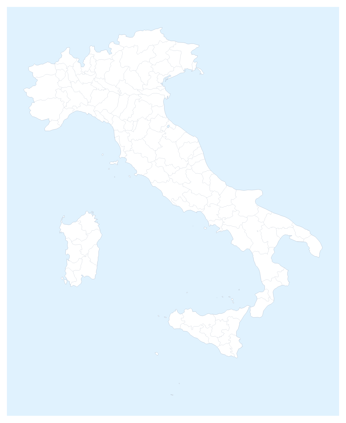
Editable map of Italian provinces
Colour the regions, add cities and labels, and download it in minutes. Free, no sign-up.
Ideas for a map of Italian provinces
Anyone planning around Italy tends to need the map split finely: an agent network by area, a delivery plan, a tour with stops in several cities. This map opens in the editor with all 110 administrative areas drawn, so the grain is already there and the work is deciding what colour each one gets.
Agents, dealers and delivery areas
Give each agent a colour and click the areas they look after, then add a legend with the agents' names. Pin Rome, Milan, Naples, Turin and Florence to show where the offices are. When a manager asks who covers a town, the slide answers in a second, and it is easier to update than a table of postcodes.
A route across the country
For a trip or a tour, pin Rome, Florence and Milan with the city search and join them with the route tool. Numbered stops show the order, and a plane icon can be switched on for a flight. The PNG pastes into an itinerary or a blog post. Neighbours adds Switzerland, Austria, France and Slovenia in grey so a route that heads north sits in context.
Setting it up
Colour on the page first, then choose Customise this map: the changes carry into the editor when your browser is saving maps. The place list there names every area, which beats clicking when two shapes sit close together. The Province lines switch can go off if you want each territory to read as a single block. Dark suits a slide with a dark theme, and Vintage gives a route a poster look.
Putting it on a slide
Italian maps with 110 areas get busy, so decide what the slide is for before you colour. A dealer slide wants three or four colours and a legend; a trip slide wants the pins and almost no colour. Use the 16:9 canvas and a PNG, or Copy image in the Download dialog to paste straight in. The map for PowerPoint page covers decks in more detail, and the editable map of Italy opens the same area for the country.
How to do it in MapMaker
- Choose a colour in the bar on the map and click the areas for one agent or one route, then repeat with the next colour.
- Choose Customise this map to open the map in the editor with all 110 areas in the place list.
- Use Add your cities to pin Rome, Florence or Milan, and Add a title to name the plan.
- Choose Download and save a PNG for the slide, or an SVG for a design tool.
Embed this map
Paste this code into your website to show this map of Italian provinces, with a small credit link back to MapMaker.so.
Facts about Italian provinces
This map shows 110 administrative areas in Southern Europe. Together they have an area of about 301,000 km². The capital is Rome. The population is about 60 million (2019 estimate). The largest cities are Rome, Milan, Naples, Turin and Florence.
Questions people ask
How do I colour the Italian provinces?
Pick a swatch in the bar on the map and click an area to fill it with that colour; click it again to clear it. In the editor, the place list names all 110 areas, so you can choose one without finding it on the map.
Can I add Rome, Milan and Naples to the map?
Yes. In the editor, Add your cities opens the pin tool with the city search. Type Rome, Milan or Naples and the pin drops into place, ready for a label or a route with numbered stops.
Can I show Switzerland, Austria and the other countries around Italy?
Yes. The Neighbours switch in the bar on the map draws the surrounding countries in grey, so Austria, France, Slovenia and Switzerland sit beside the Italian areas. Switch it off for Italy alone.
Can I put the map in PowerPoint or Google Slides?
Yes. Set the canvas to 16:9 in the editor, then download a PNG, with Transparent on if the slide has its own background, or use Copy image in the Download dialog and paste it onto the slide.