Printable map of Italian provinces
Free PDFs, ready for A4 or Letter. Print in colour or black and white.
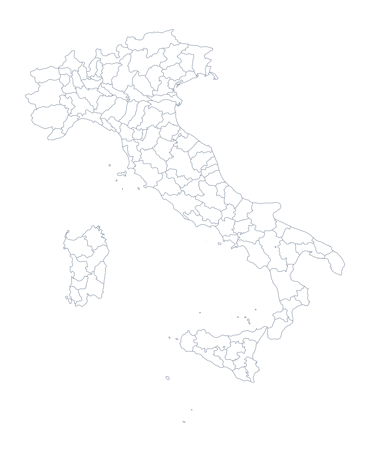
Printing a map of Italian provinces
With 110 administrative areas, the Italian map is a sheet for working through in pieces. This page has two PDFs: a blank outline, and a version with regions that draws every area with no names on it. Teachers print them for geography, for Italian lessons and for wall displays, in colour or black and white, on A4 or Letter.
Do not label all 110 at once
Hand each pupil a short list of areas from the page below and let them label only those. Pairs can then swap and check each other against the full list. Over a term, the same sheet can come out again with a new set of ten.
A class display works well here. Cut the sheet into sections, give each group a section to colour and join them back into one big map of Italy.
For the youngest
Use the blank outline. Ask children to put a star on Rome, then dots for Milan, Naples, Turin and Florence, and to write each name next to its dot. A colouring pencil per city makes it a matching game: a red dot for the first city, a blue one for the second, and so on.
Choosing and printing
With regions is the version for labelling and for colouring by a rule, such as one colour for each team in the room. Blank outline suits the dot-and-name task above and any lesson that cares only about the shape. With 110 areas on one sheet, print at 100% when the key must match, and choose Black and white for a class set that goes through the photocopier.
For names, a title or A3 paper for a wall, the editable map of the Italian provinces opens the same map in the editor. The country's own sheet is the printable map of Italy.
How to do it in MapMaker
- Choose With regions to print the 110 areas, or Blank outline for the shape alone.
- Pick A4 or Letter, and Colour or Black and white.
- Print the PDF at 100% so the areas keep their size against the key.
- Colour the areas a lesson needs with the bar on the map, then choose Download your map for a PDF with those colours.
- Choose Customise before printing to add names or a title, or to print on A3.
The 110 administrative areas on the map
A key for labelling the map by hand.
- Agrigento
- Alessandria
- Ancona
- Aosta
- Arezzo
- Ascoli Piceno
- Asti
- Avellino
- Bari
- Barletta-Andria-Trani
- Belluno
- Benevento
- Bergamo
- Biella
- Bologna
- Brescia
- Brindisi
- Cagliari
- Caltanissetta
- Campobasso
- Carbonia-Iglesias
- Caserta
- Catania
- Catanzaro
- Chieti
- Como
- Cosenza
- Cremona
- Crotone
- Cuneo
- Enna
- Fermo
- Ferrara
- Florence
- Foggia
- Forlì-Cesena
- Frosinone
- Gorizia
- Grosseto
- Imperia
- Isernia
- L'Aquila
- La Spezia
- Latina
- Lecce
- Lecco
- Liguria
- Livorno
- Lodi
- Lucca
- Macerata
- Mantua
- Massa-Carrara
- Matera
- Medio Campidano
- Messina
- Milan
- Modena
- Monza and Brianza
- Naples
- Novara
- Nuoro
- Ogliastra
- Olbia-Tempio
- Oristano
- Padua
- Palermo
- Parma
- Pavia
- Perugia
- Pesaro and Urbino
- Pescara
- Piacenza
- Pisa
- Pistoia
- Pordenone
- Potenza
- Prato
- Ragusa
- Ravenna
- Reggio Calabria
- Reggio Emilia
- Rieti
- Rimini
- Rome
- Rovigo
- Salerno
- Sassari
- Savona
- Siena
- Sondrio
- Syracuse
- Taranto
- Teramo
- Terni
- Trapani
- Trentino
- Trentino-South Tyrol
- Treviso
- Trieste
- Turin
- Udine
- Varese
- Venice
- Verbano-Cusio-Ossola
- Vercelli
- Verona
- Vibo Valentia
- Vicenza
- Viterbo
Facts about Italian provinces
This map shows 110 administrative areas in Southern Europe. Together they have an area of about 301,000 km². The capital is Rome. The population is about 60 million (2019 estimate). The largest cities are Rome, Milan, Naples, Turin and Florence.
Questions people ask
How many areas does the printable map show?
The With regions PDF shows 110 administrative areas. The list further down this page names each one, which makes it a ready answer key for a labelling sheet or a quiz.
Is 110 areas too many for a worksheet?
For a first lesson, yes, so give each pupil a short list to find and label, and keep the rest as a wall display. The blank outline is gentler for younger children, who only need to mark Rome.
Does the printable map show names?
No. The PDFs are drawn without names so pupils can write them in. For a copy with names or a title, choose Customise before printing and download a PDF from the editor, on A4, Letter or A3.
Which cities can I mark on it?
Rome, Milan, Naples, Turin and Florence are the five largest cities in the map's data. Print the blank outline and have pupils place each one by hand, or add pins in the editor first.