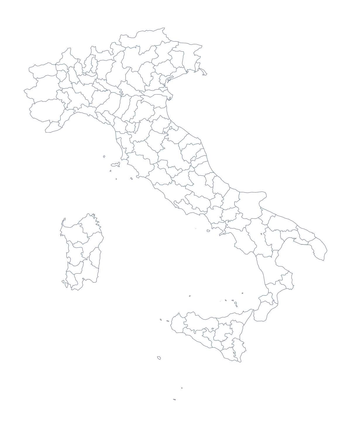
Blank map of Italian provinces
The outline, free as a PNG, SVG or PDF. Label it, colour it in or drop it into a slide.
Using a blank map of Italian provinces
Italy has more areas than most pages need, so the first decision with this blank map is how much of it to use. With borders draws 110 administrative areas with no names, and this page puts it first. Outline only is the shape alone. Both are free as a PNG, an SVG and a PDF.
A cut-down map from the full set
With 110 areas, the file is best used in part. Fill the dozen a report covers in a strong colour and leave the rest pale, then change the set for the next section and the same PNG lasts the whole report. The list further down this page gives the spelling of every area.
Slides, covers and handouts
On a slide, the PNG's transparent background takes your slide colour, so one pale area can stand out against a darker deck. For a report cover, open the SVG in Illustrator, Inkscape or Figma and give a single area a strong fill while the rest stay grey. A design that needs only the country's shape, such as a logo sketch, should use Outline only.
Which one to pick
Choose With borders for the political blank map of the Italian provinces. It is the version for labelling and the key. Choose Outline only for silhouettes and for younger children learning the shape.
If you want names, colours or a title added, the editable map of the Italian provinces opens the same outline. For the country's own files, see the blank map of Italy.
How to do it in MapMaker
- Choose With borders for the 110 areas, or Outline only for the whole shape.
- Download the PNG for a slide or document, the SVG for a design tool or PDF, A4 or PDF, Letter for paper.
- Fill the areas a report covers, and check each spelling against the list on this page.
- Choose Customise this map for names, colours or a title, and download from the editor.
The 110 administrative areas on the map
A key for labelling the map by hand.
- Agrigento
- Alessandria
- Ancona
- Aosta
- Arezzo
- Ascoli Piceno
- Asti
- Avellino
- Bari
- Barletta-Andria-Trani
- Belluno
- Benevento
- Bergamo
- Biella
- Bologna
- Brescia
- Brindisi
- Cagliari
- Caltanissetta
- Campobasso
- Carbonia-Iglesias
- Caserta
- Catania
- Catanzaro
- Chieti
- Como
- Cosenza
- Cremona
- Crotone
- Cuneo
- Enna
- Fermo
- Ferrara
- Florence
- Foggia
- Forlì-Cesena
- Frosinone
- Gorizia
- Grosseto
- Imperia
- Isernia
- L'Aquila
- La Spezia
- Latina
- Lecce
- Lecco
- Liguria
- Livorno
- Lodi
- Lucca
- Macerata
- Mantua
- Massa-Carrara
- Matera
- Medio Campidano
- Messina
- Milan
- Modena
- Monza and Brianza
- Naples
- Novara
- Nuoro
- Ogliastra
- Olbia-Tempio
- Oristano
- Padua
- Palermo
- Parma
- Pavia
- Perugia
- Pesaro and Urbino
- Pescara
- Piacenza
- Pisa
- Pistoia
- Pordenone
- Potenza
- Prato
- Ragusa
- Ravenna
- Reggio Calabria
- Reggio Emilia
- Rieti
- Rimini
- Rome
- Rovigo
- Salerno
- Sassari
- Savona
- Siena
- Sondrio
- Syracuse
- Taranto
- Teramo
- Terni
- Trapani
- Trentino
- Trentino-South Tyrol
- Treviso
- Trieste
- Turin
- Udine
- Varese
- Venice
- Verbano-Cusio-Ossola
- Vercelli
- Verona
- Vibo Valentia
- Vicenza
- Viterbo
Facts about Italian provinces
This map shows 110 administrative areas in Southern Europe. Together they have an area of about 301,000 km². The capital is Rome. The population is about 60 million (2019 estimate). The largest cities are Rome, Milan, Naples, Turin and Florence.
Questions people ask
How many areas does the blank map show?
The With borders version draws 110 administrative areas. The list further down the page names every one of them, so you can use it as the answer sheet for a labelling task or a numbered quiz.
Is there a political blank map of the Italian provinces?
Yes: With borders, the version this page puts first. It draws the areas as separate shapes with no names, so you can label them, number them for a quiz or colour them in.
Which file should I use in a worksheet, a slide or a design?
Take the PNG for a worksheet or a slide, since its transparent background picks up the colour behind it. Take the SVG for a design tool, and a PDF when the outline is going straight to paper.
Is there a blank map of Italy on its own?
Yes. Outline only on this page is the whole shape without the lines between areas, and the country has a blank page of its own with the same two versions.