Editable map of Mexican states
Colour the regions, add cities and labels, and download it in minutes. Free, no sign-up.
Ideas for a map of Mexican states
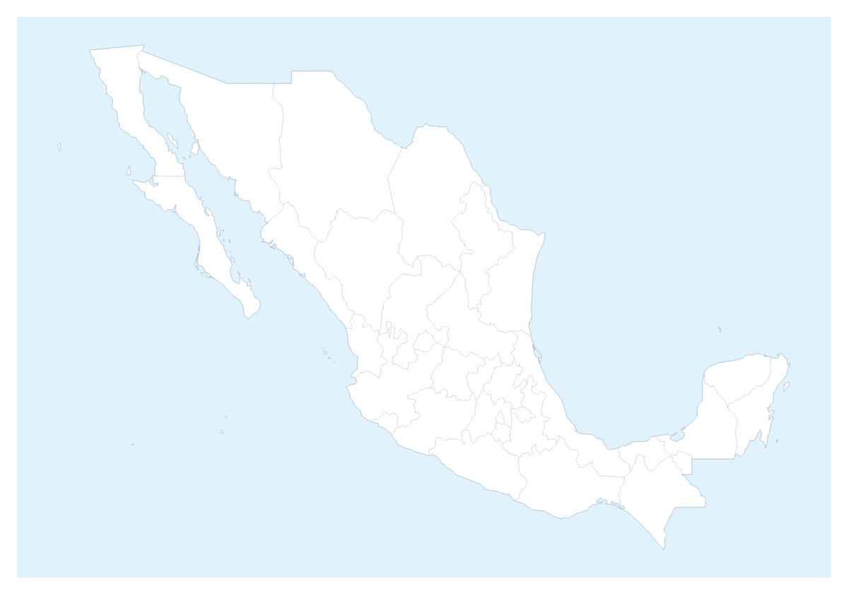
Mexican states are the unit most plans for the country get cut into: a delivery zone, a sales patch, a survey area, a school project. This page opens the map in the editor with the 31 states and Mexico City already drawn, ready to colour by whatever your plan is.
Zones for a business
A courier or a retailer can give each depot a colour and click the states it serves. Tijuana, Monterrey and Guadalajara make natural pins for stores or warehouses, and the city search finds them by name. A legend turns the colours into a key your team reads without explanation. A market-entry plan follows the same pattern: colour the states you serve today in one colour, the states you want next in a second, and leave the rest grey. Keep one copy per quarter and the sequence of slides shows the plan growing.
Study, travel and projects
Pupils can colour the states a topic covers and show the names of Chiapas, Oaxaca, Yucatán or Quintana Roo on a revision sheet. For a trip, pin Mexico City, Puebla and Guadalajara and draw a route with numbered stops. The Neighbours switch shows Belize, Guatemala and the United States of America in grey, which helps when a plan crosses a boundary.
Settings worth knowing
In the bar on the map, Borders sets the weight of the coast and country lines, and Sea turns the sea white for a cleaner slide. In the editor, opened with Customise this map, the place list names each state, so Querétaro or Colima is one pick away. Try Minimal for a report and Dark for a deck with a dark theme.
Slides and files
Set the canvas to 16:9 for a deck. In the Download dialog, a PNG with Transparent on drops onto a slide with its own background, and Copy image pastes the map into PowerPoint, Google Slides or Keynote; the map for PowerPoint page has more. SVG goes to Illustrator, Inkscape or Figma. The country's own page, the editable map of Mexico, has the same states, and the printable map of Mexican states is there for paper copies.
How to do it in MapMaker
- Click a colour in the bar on the map, then the states you want, and use Sea if a white sea suits your slide.
- Choose Customise this map to open the editor with the place list, then give each depot or team its own colour.
- Add Monterrey, Tijuana or Guadalajara with Find a city, and a title and legend from the Canvas tab.
- Choose Download and save a PNG for the deck, or Copy image to paste it in.
Embed this map
Paste this code into your website to show this map of Mexican states, with a small credit link back to MapMaker.so.
Facts about Mexican states
This map shows 31 states and Mexico City in Central America. Together they have an area of about 1,960,000 km². The capital is Mexico City. The population is about 130 million (2019 estimate). The largest cities are Mexico City, Guadalajara, Monterrey, Puebla and Tijuana.
Questions people ask
How do I colour the Mexican states?
Choose a colour in the bar on the map and click the states to fill them; click one again to clear it. For a longer job, Customise this map opens the editor, whose place list names every state so you can pick Oaxaca or Tlaxcala without hunting for the shape.
Does the map include Mexico City?
Yes. The map draws 31 states and Mexico City as separate shapes, so Mexico City can take its own colour or its own pin like any state, which helps on a delivery or a sales map.
Can I show the names of the states on the map?
Yes. In the editor, select the states you want named and choose Show names on the card. On a small slide, name only the states the slide is about and let the legend carry the rest.
How do I show the countries around Mexico?
Switch on Neighbours in the bar on the map. Belize, Guatemala and the United States of America appear in grey around the states, which suits a slide about cross-border deliveries or a route that starts outside the country.