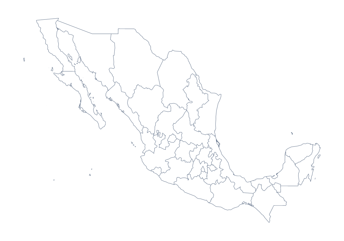
Blank map of Mexican states
The outline, free as a PNG, SVG or PDF. Label it, colour it in or drop it into a slide.
Using a blank map of Mexican states
With borders is the version to take for a blank map of Mexican states: it draws the 31 states and Mexico City as separate shapes with no names, and this page puts it first. Outline only gives the shape of the country without the lines inside. Both are free as a PNG on a transparent background, an SVG and a PDF.
The political blank map and the plain outline
The political blank map of Mexican states is the With borders version, built for labelling, numbering and colouring by a rule. Choose Outline only for a silhouette on a cover slide, a logo sketch or a first lesson on the shape of the country. The blank map of Mexico has that outline on a page of its own.
Putting it to work
In a slide deck, put the same PNG on each slide and fill a different state on each as a talk moves through the regions, starting with Yucatán, Sonora and Oaxaca. The list on this page gives the spelling of each state for your slide titles.
For a design, the SVG opens in Figma, Illustrator or Inkscape, where the state lines can take a brand colour or a lighter weight. A report cover with the map in a pale tint behind the title is a common use. A regional pitch can lay its own labels over the shapes, one per state it covers.
When you need more than shapes
Names, a title or colours come from Customise this map, which opens the same outline in the editor. For print choices such as black and white, use the printable map of Mexican states. The PDF comes in A4 or Letter if the sheet is going straight to a printer.
How to do it in MapMaker
- Choose With borders for the 31 states and Mexico City, or Outline only for the country's shape.
- Pick PNG for slides and worksheets, or SVG for a design tool.
- Take PDF, A4 or PDF, Letter for a sheet to print.
- Fill the states your slide covers, and take the spellings for its titles from the list on this page.
- Choose Customise this map to add names, colours or a title.
The 31 states and Mexico City on the map
A key for labelling the map by hand.
- Aguascalientes
- Baja California
- Baja California Sur
- Campeche
- Chiapas
- Chihuahua
- Coahuila
- Colima
- Durango
- Guanajuato
- Guerrero
- Hidalgo
- Jalisco
- Mexico
- Michoacán
- Morelos
- Nayarit
- Nuevo León
- Oaxaca
- Puebla
- Querétaro
- Quintana Roo
- San Luis Potosí
- Sinaloa
- Sonora
- State of Mexico
- Tabasco
- Tamaulipas
- Tlaxcala
- Veracruz
- Yucatán
- Zacatecas
Facts about Mexican states
This map shows 31 states and Mexico City in Central America. Together they have an area of about 1,960,000 km². The capital is Mexico City. The population is about 130 million (2019 estimate). The largest cities are Mexico City, Guadalajara, Monterrey, Puebla and Tijuana.
Questions people ask
Is there a political blank map of Mexican states?
Yes. It is the With borders version, which this page puts first: the 31 states and Mexico City drawn as separate shapes with no names, ready for labelling, numbering or colouring.
Does the blank map show the names of the states?
No. A blank map has no names, by design. Use the list of states further down this page as the key, or choose Customise this map to add names in the editor.
Which file should I use in a worksheet, a slide or a design?
Take the PNG for a worksheet or a slide, since its transparent background takes the colour behind it. Take the SVG for a design tool, and the PDF when the map is going to a printer.
Can I make the outline bigger without it going blurry?
Use the SVG or the PDF. Both are vector files, so the lines stay sharp at any size. The PNG is a picture and softens if you stretch it a long way.