Blank map of Southeast Asia
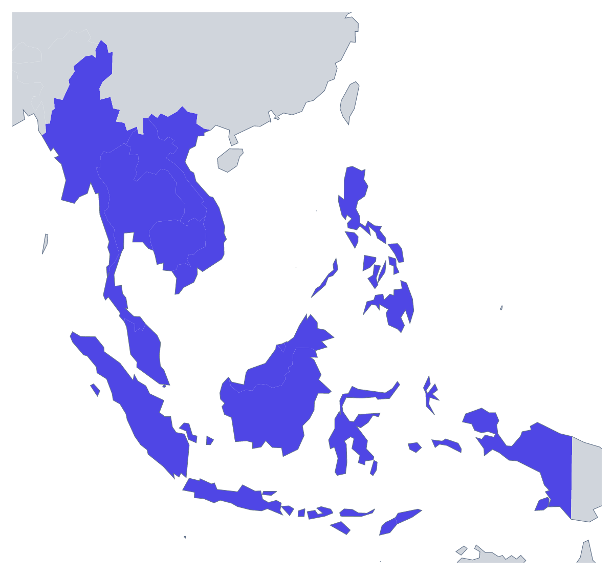
The outline, free as a PNG, SVG or PDF. Label it, colour it in or drop it into a slide.
Using a blank map of Southeast Asia
Most people who download an outline of Southeast Asia are building something around it: the title slide of a regional update, the cover of a report on the 11 countries, a poster for a travel talk, the header of a unit of lessons. The page gives you the land alone (Outline only) or with the borders between the countries drawn in (With borders), each as a PNG on a transparent background, an SVG or a PDF.
A slide for the region
A team that works across the region can put the transparent PNG on its title slide, in the company's colours, with its offices or markets listed beside it; the outline takes the colour of the slide and needs no cropping. In a quarterly update, the same outline can sit small in a corner of every slide, so the audience always knows which region the figures are about. A teacher can do the same for a unit on the region: one outline at the top of each worksheet and slide, so the topic is clear at a glance.
Design work with the SVG
The SVG opens in Illustrator, Inkscape or Figma at any size without blurring. A designer can recolour a few countries in a brand colour, set heavier borders for a printed handout, turn the outline into a line drawing for a festival programme, or send it to a cutting machine for a wall display.
A silhouette or the countries
Outline only reads as one clean shape, which works best when the map is small: an icon on a slide, a logo sketch, a sticker. With borders is the political blank map of Southeast Asia and the one to choose whenever the countries themselves matter. For a slide or a document, take the PNG; for anything a designer will change, the SVG; for a sheet to print as it is, the PDF on A4 or Letter. To colour countries or show names before you download, start from the editable map of Southeast Asia. ASEAN, the organisation of the region, has its own blank map of ASEAN, which shows the same 11 countries.
How to do it in MapMaker
- Choose Outline only for a silhouette of the region, or With borders to show the 11 countries.
- Take the PNG into your slide deck or document, or the SVG into Illustrator, Inkscape or Figma.
- Print the outline from PDF, A4 or PDF, Letter when you need it on paper as it is.
- Choose Customise this map for colours, names or a title, then download from the editor.
The 11 members on the map
A key for labelling the map by hand.
- Brunei
- Cambodia
- Indonesia
- Laos
- Malaysia
- Myanmar
- Philippines
- Singapore
- Thailand
- Timor-Leste
- Vietnam
Facts about Southeast Asia
11 members are on the map. The members are Brunei, Cambodia, Indonesia, Laos, Malaysia, Myanmar, Philippines, Singapore, Thailand, Timor-Leste and Vietnam.
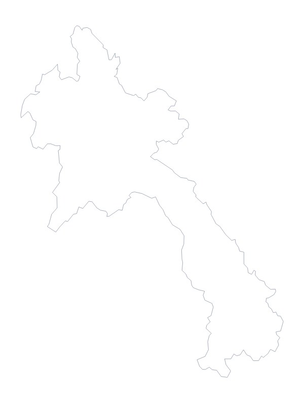
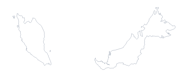
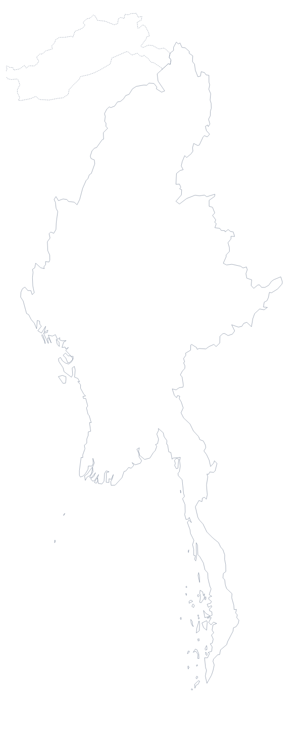
Maps of places in Southeast Asia
Questions people ask
Is there a political blank map of Southeast Asia?
Yes: the With borders version. It draws the borders between the 11 countries of the region and puts no names on them, so each country is a shape of its own to colour, style or name later.
What is the difference between Outline only and With borders?
Outline only shows the land of the region without the lines between countries, so it reads as one shape, which suits an icon or a silhouette. With borders adds those lines, for anything where the 11 countries matter one by one.
Which countries are on the blank map of Southeast Asia?
Brunei, Cambodia, Indonesia, Laos, Malaysia, Myanmar, the Philippines, Singapore, Thailand, Timor-Leste and Vietnam. They are listed by name further down this page.
Does the PNG have a transparent background?
Yes. Only the land is drawn, so the outline of Southeast Asia sits on the colour of your slide, report cover or poster with no white box around it.