Editable map of Spanish provinces
Colour the regions, add cities and labels, and download it in minutes. Free, no sign-up.
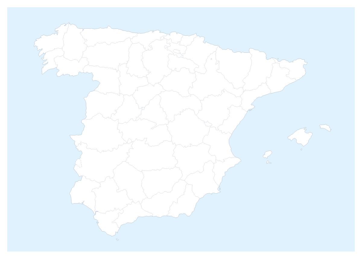
Ideas for a map of Spanish provinces
People reach for a map of the Spanish provinces when a plan has to say who covers where: a distributor's delivery zones, a retailer's store patches, a regional sales slide. This one opens in the editor with the 50 provinces and the autonomous cities of Ceuta and Melilla already drawn, each a shape you can colour, name and group into territories.
Delivery zones and sales patches
Give each depot or each rep a colour, click the provinces they serve and add a legend with their names. A logistics team can pin Madrid, Barcelona, Seville, Bilbao and Valencia with the city search to show where the depots sit, so one slide answers "who delivers to Lleida?" at a glance. The editable map of Spain opens the same provinces, so a plan can start from either page.
Projects and trips
A Spanish class can colour the provinces it has studied and add a title for a wall display. A trip planner can pin Madrid, Seville and Valencia, draw a route with numbered stops and paste the PNG into an itinerary. Switch on Neighbours to put Portugal, France, Andorra and Morocco in grey around the provinces.
Making it yours
On the page, pick a colour in the bar and click the provinces you want. The switch named Province lines shows or hides the lines between them, which helps when a territory covers a block of neighbours and you want it to read as one shape. In the editor, reached with Customise this map, the place list names every province, so choosing Ceuta, Melilla or the Balearic Islands from the list is quicker than hunting for them. Minimal suits a report, Dark a slide with a dark theme and Vintage a poster.
For slides and files
A territory-split slide works best on the 16:9 canvas, so the map fills the slide. Save a PNG with Transparent on if the slide has its own background, or use Copy image in the Download dialog and paste straight in; the map for PowerPoint page has more on maps in decks. Take SVG for Illustrator, Inkscape or Figma, and PDF for print. Blank copies for a class are on the printable map of the Spanish provinces.
How to do it in MapMaker
- Pick a colour in the bar on the map, click the provinces for your first territory and repeat with a second colour.
- Switch on Neighbours if the slide should show the countries around Spain.
- Choose Customise this map to carry on in the editor, then use Add your cities to pin Madrid, Barcelona or Seville with the city search.
- Open the Canvas tab to set 16:9 and add a title, then choose Download and pick PNG for the slide or SVG for a design tool.
Embed this map
Paste this code into your website to show this map of Spanish provinces, with a small credit link back to MapMaker.so.
Facts about Spanish provinces
This map shows 50 provinces and the autonomous cities of Ceuta and Melilla in Southern Europe. Together they have an area of about 506,000 km². The capital is Madrid. The population is about 47 million (2019 estimate). The largest cities are Madrid, Barcelona, Seville, Bilbao and Valencia.
Questions people ask
How do I colour the Spanish provinces?
Pick a swatch in the bar on the map and click a province to fill it; click it again to clear it. To work from a list, choose Customise this map: the editor's place list names every province, Ceuta and Melilla included.
How do I group provinces into sales territories?
Give each territory one colour and click the provinces that belong to it. The legend gets a line per colour, and you can rename each line to a rep, a depot or an area so the slide explains the split without a table.
Can I show the countries around Spain?
Yes. The Neighbours switch in the bar on the map draws the surrounding countries in grey, so a slide can show Portugal, France, Andorra and Morocco beside the provinces. Switch it off for the provinces alone.
Can I add Madrid, Barcelona and Seville to the map?
Yes, in the editor. Open the pin tool with Add your cities, type a city into the search and the pin lands in place. Pins carry a label, and a route tool can join them with numbered stops.