Blank map of Spanish provinces
The outline, free as a PNG, SVG or PDF. Label it, colour it in or drop it into a slide.
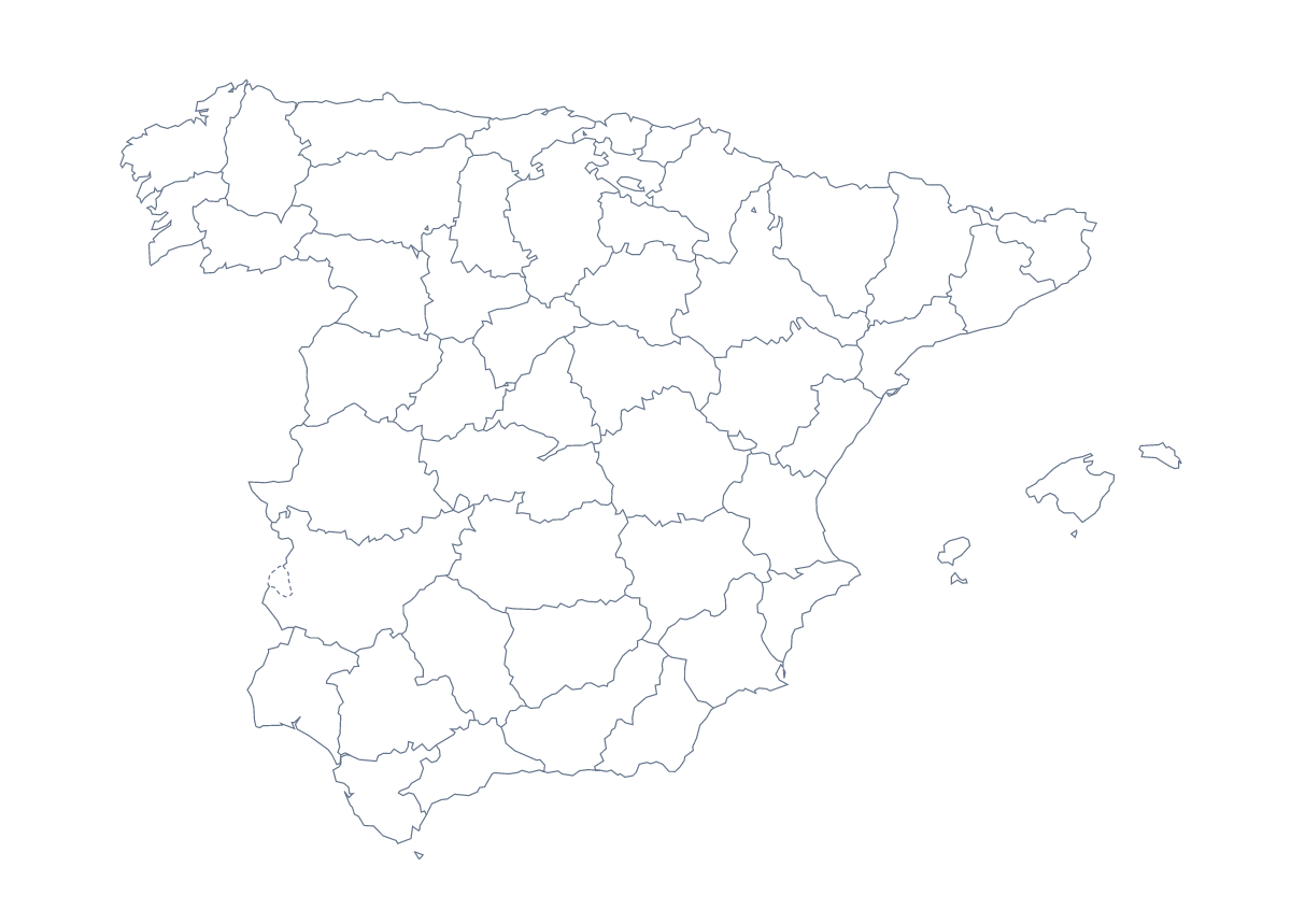
Using a blank map of Spanish provinces
A blank map of the Spanish provinces is the starting file for a slide deck of your own, a revision card, or a graphic where the shape sits on your own background. With borders puts 50 provinces and the autonomous cities of Ceuta and Melilla on the page as separate shapes; Outline only keeps the shape of the whole place and drops the inner lines. Each comes as a PNG, an SVG and a PDF.
Slides for a regional talk
Put the With borders PNG on a slide and fill the provinces a talk covers, one group per slide as the talk moves on. The list further down this page gives the spelling of each name, accents included. A sales review can add a text box with a figure for each province it serves.
Design and display
The SVG suits a report cover, a team poster or an infographic. In Illustrator, Inkscape or Figma, give one province a brand colour and leave the rest pale; a clear single highlight says more than all 50 coloured. Outline only is the version for a logo sketch or a title slide where the inner lines would only add noise.
Which version, which file
For the political blank map of the Spanish provinces, take With borders. Take Outline only when you want a plain shape. Choose the PNG for worksheets and slides, the SVG for design tools and the PDF for A4 or Letter.
For names, colours or a title, the editable map of the Spanish provinces opens the same map in the editor. Print choices are on the printable map of the Spanish provinces.
How to do it in MapMaker
- Choose With borders for the provinces, or Outline only for the shape of Spain.
- Pick PNG for a slide or worksheet, SVG for a design tool or a PDF for A4 or Letter.
- Place the file on your slide and fill the provinces a talk covers, checking each spelling against the list on this page.
- Choose Customise this map to add names, colours or a title, then download from the editor.
The 50 provinces and the autonomous cities of Ceuta and Melilla on the map
A key for labelling the map by hand.
- A Coruña
- Albacete
- Alicante
- Almería
- Araba / Álava
- Asturias
- Ávila
- Badajoz
- Balearic Islands
- Barcelona
- Biscay
- Burgos
- Cáceres
- Cádiz
- Cantabria
- Castellón
- Ceuta
- Ciudad Real
- Community of Madrid
- Córdoba
- Cuenca
- Gipuzkoa
- Girona
- Granada
- Guadalajara
- Huelva
- Huesca
- Jaén
- La Rioja
- Las Palmas
- León
- Lleida
- Lugo
- Málaga
- Melilla
- Murcia
- Navarre
- Ourense
- Palencia
- Pontevedra
- Salamanca
- Santa Cruz de Tenerife
- Segovia
- Seville
- Soria
- Tarragona
- Teruel
- Toledo
- Valencia
- Valladolid
- Zamora
- Zaragoza
Facts about Spanish provinces
This map shows 50 provinces and the autonomous cities of Ceuta and Melilla in Southern Europe. Together they have an area of about 506,000 km². The capital is Madrid. The population is about 47 million (2019 estimate). The largest cities are Madrid, Barcelona, Seville, Bilbao and Valencia.
Questions people ask
Is there a political blank map of the Spanish provinces?
Yes: the With borders version, which this page puts first. It draws the provinces and the autonomous cities of Ceuta and Melilla as separate shapes with no names, ready to label or colour.
What is the difference between Outline only and With borders?
Outline only is the shape of the whole place with no lines inside it. With borders adds the line around each province, which you need for labelling, quizzes or colouring individual provinces.
Does the PNG have a transparent background?
Yes. Place it on a slide, a worksheet or a coloured page and the background takes whatever sits behind it, so only the provinces show. The SVG and the PDF are vector files and stay sharp at any size.
Can I open the SVG in Illustrator, Inkscape or Figma?
Yes. The SVG opens in all three, where each province can be selected, given its own fill and restyled. Use it when the map is part of a design and not just a picture on a page.