Printable map of Australian states and territories
Free PDFs, ready for A4 or Letter. Print in colour or black and white.
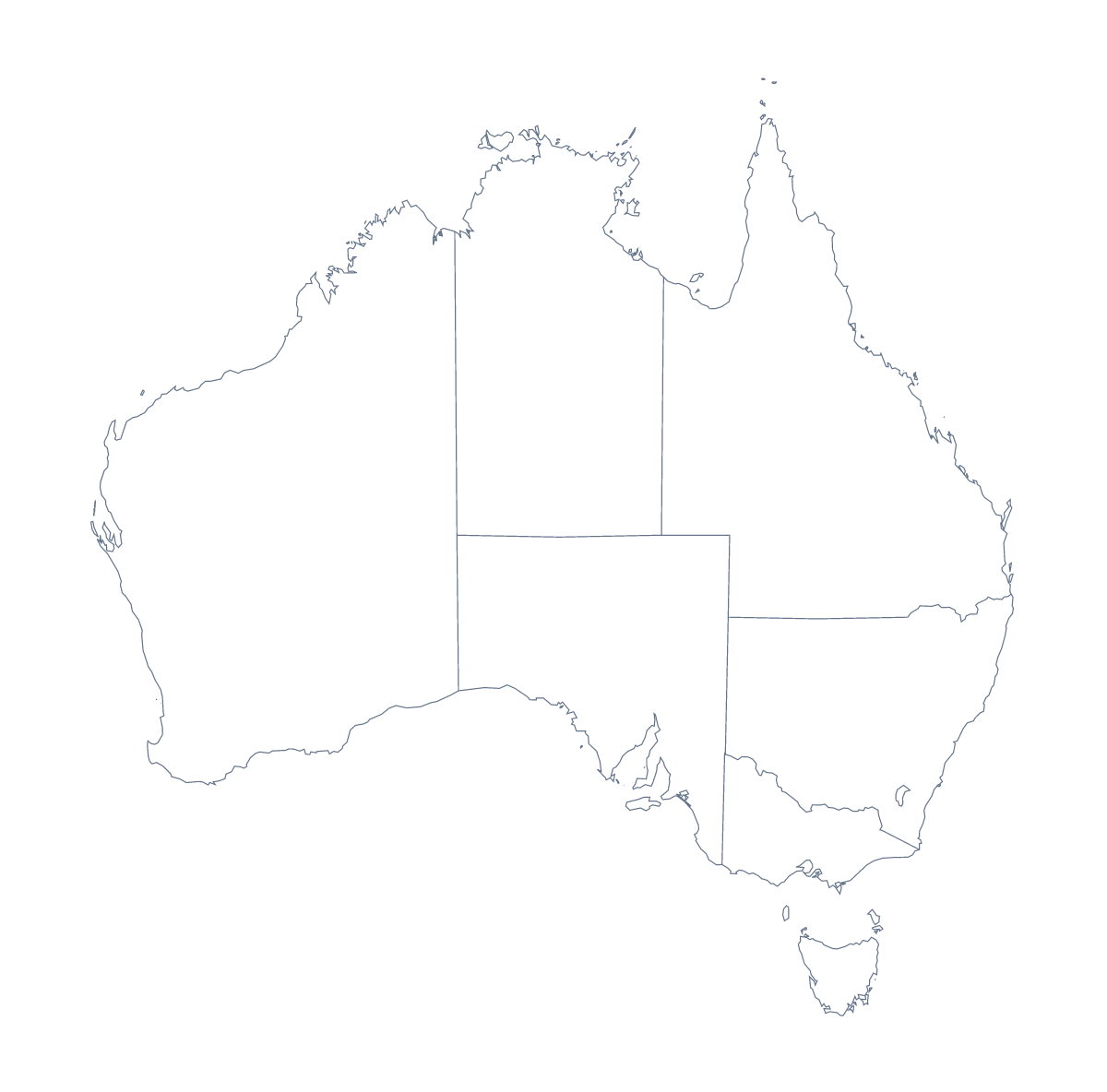
Printing a map of Australian states and territories
Eleven areas make a manageable sheet. That is why teachers print the Australian map for a lesson that has to finish: a labelling task, a colouring activity, a short test. This page has the version with regions and the blank outline, both as PDFs for A4 or Letter, in colour or black and white, with no names printed.
A whole-class labelling race
Print the version with regions for every pupil and read out the areas from the list further down this page one at a time. Pupils write each name in as they hear it, and the first to finish a correct sheet wins. Because there are only 11, it takes about as long as a spelling test.
Cities and the capital
On the blank outline, ask pupils to mark Sydney, Melbourne, Brisbane, Perth and Adelaide with dots, and Canberra with a star. A younger class can do this with a classroom atlas, and an older one from memory first, then check.
Printing the right version
With regions shows the areas and suits labelling and colouring by a rule, such as one colour for each team in the room. Blank outline suits the cities task. Choose Black and white for photocopies. Print at 100% for a class set that must match the key, or use "fit to page" for a wall copy.
For names, a title or A3 paper, choose Customise before printing. The country has a sheet of its own in the printable map of Australia, and the editable map of the Australian states and territories is there for names on screen.
How to do it in MapMaker
- Choose With regions for the 11 areas, or Blank outline for the shape of the country.
- Pick A4 or Letter, and Black and white for a class set.
- Open the PDF and print it at 100%.
- Colour the areas your lesson needs with the bar on the map, then choose Download your map to save a PDF with them.
- Choose Customise before printing for names, a title or an A3 sheet.
The 11 administrative areas on the map
A key for labelling the map by hand.
- Australian Capital Territory
- Jervis Bay Territory
- Lord Howe Island
- Macquarie Island
- New South Wales
- Northern Territory
- Queensland
- South Australia
- Tasmania
- Victoria
- Western Australia
Facts about Australian states and territories
This map shows 11 administrative areas in Australia and New Zealand. Together they have an area of about 7,710,000 km². The capital is Canberra. The population is about 25 million (2019 estimate). The largest cities are Sydney, Melbourne, Brisbane, Perth and Adelaide.
Questions people ask
How many areas does the printable map show?
The With regions PDF shows 11 administrative areas, each drawn as its own shape. The list further down this page names them all, so it serves as the answer key for a labelling sheet.
Is 11 areas a good number for younger children?
Yes. It is few enough for a child to label the whole map in one lesson, and each area has a shape of its own to match against the list. Start with the blank outline and three cities.
Does the map show the names?
No. The PDFs carry no names, so pupils write them in. For a sheet with names or a title, choose Customise before printing and download a PDF from the editor.
Which cities can pupils mark?
Sydney, Melbourne, Brisbane, Perth and Adelaide are the five largest cities in the map's data, and Canberra is the capital. Print the blank outline and have pupils mark them with dots.