Blank map of Australian states and territories
The outline, free as a PNG, SVG or PDF. Label it, colour it in or drop it into a slide.
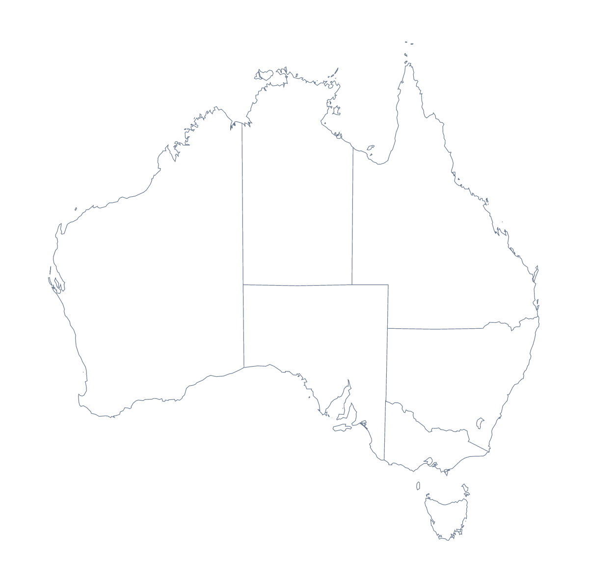
Using a blank map of Australian states and territories
Australia is a good shape for a first blank map: a simple outline, few areas and room to write. With borders draws 11 administrative areas with no names, and this page puts it first. Outline only is the shape of the whole place without the inner lines. Each comes as a PNG, an SVG and a PDF.
Notes and figures on one page
Put the With borders PNG on a page and write a figure or a note for each of the 11 areas a report compares, each with a line to its shape in your layout tool. Eleven is small enough that every note fits on a single page, and the list further down this page gives the spelling of each name.
Slides and layouts
On a slide, the transparent PNG lets the deck's colour show through. Colour one area in your slide software to focus a talk on it and keep the rest pale. In Illustrator, Inkscape or Figma, the SVG gives each area its own shape, which suits a report cover, a team graphic or a poster. For a plain title slide, Outline only is enough.
Choosing a version
With borders is the political blank map of the Australian states and territories, and it is the version for labelling. Outline only is the shape alone, good for younger children learning what the country looks like. Take the PNG for slides and worksheets, the SVG for design tools and a PDF for A4 or Letter.
For colours, names or a title, the editable map of the Australian states and territories opens the same outline in the editor. The country also has its own blank map of Australia.
How to do it in MapMaker
- Choose With borders for the 11 areas, or Outline only for the whole shape.
- Pick the PNG for a worksheet or slide, or the SVG for a design tool.
- Take PDF, A4 or PDF, Letter to print the outline as it is.
- Add a figure or a note for each area your page compares, and check each spelling against the list on this page.
- Choose Customise this map to add names, colours or a title, then download from the editor.
The 11 administrative areas on the map
A key for labelling the map by hand.
- Australian Capital Territory
- Jervis Bay Territory
- Lord Howe Island
- Macquarie Island
- New South Wales
- Northern Territory
- Queensland
- South Australia
- Tasmania
- Victoria
- Western Australia
Facts about Australian states and territories
This map shows 11 administrative areas in Australia and New Zealand. Together they have an area of about 7,710,000 km². The capital is Canberra. The population is about 25 million (2019 estimate). The largest cities are Sydney, Melbourne, Brisbane, Perth and Adelaide.
Questions people ask
Is there a political blank map of the Australian states?
Yes: With borders, the version this page puts first. It draws the 11 administrative areas as separate shapes with no names, ready to label, number for a quiz or colour in.
How many areas does the blank map show?
With borders shows 11 administrative areas. The list further down this page names each one, so it works as the answer sheet for a labelling task.
Does the PNG have a transparent background?
Yes. Whatever colour sits behind the PNG shows through, so a slide or a coloured worksheet takes only the shape. The SVG and the PDF are vector files and stay sharp at any size.
How do I add names or my own colours?
The files carry none, by design. Choose Customise this map to open the same outline in the editor, where you can show names, colour areas and add a title before downloading.