Printable map of Central America
Free PDFs, ready for A4 or Letter. Print in colour or black and white.
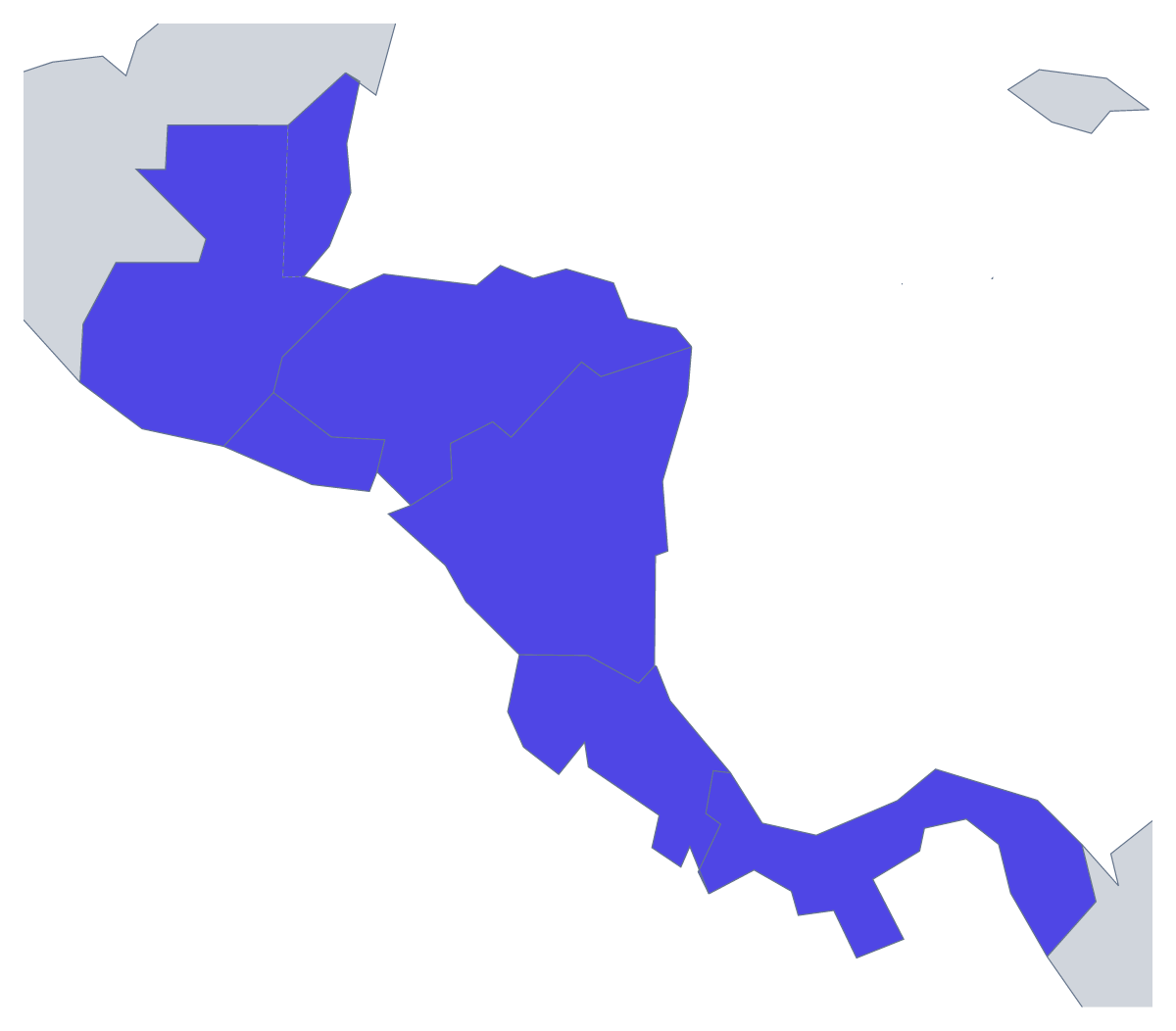
Printing a map of Central America
A printable map of Central America is quick to use because there are only seven countries on it. Teachers print it as a starter for a geography lesson or a short test, and parents print it for a school project. The page has two versions, both PDFs for A4 or Letter, in colour or black and white, with no names printed: With country borders and a Blank outline.
Younger children can colour each country in its own colour, copy the names from the list further down this page into a key and add a compass rose. A matching task works too: write the seven names on the board and ask them to link each one to its shape.
For older pupils, try a recall test with a clock. Hand out the version with borders and no names, give them three minutes to write in as many countries as they can, then mark against the list. Next time, number the countries first, so they have to match numbers to names, and let pairs swap sheets to mark.
Trips and wall displays
Anyone planning a route through the region can print a copy, pencil in the stops and shade the countries they will pass through. For a classroom display, enlarge the task rather than the sheet: give each pupil a copy to colour and name, then pin them in a row.
Which version
With country borders suits labelling and colouring by a rule; the Blank outline suits pupils who draw the borders themselves. Black and white is for photocopying a class set, colour for a single copy. To shade countries first, use the bar on the map, then Download your map. For names or a title, choose Customise before printing. If you would rather build your own worksheet around the shape, the blank map of Central America comes as a PNG, an SVG or a PDF.
How to do it in MapMaker
- Choose With country borders for the seven countries, or Blank outline for the region alone.
- Pick A4 or Letter, then Colour or Black and white.
- Print the PDF at 100% so the countries keep their proportions.
- Colour any countries you want shaded in the bar on the map, then choose Download your map.
- Choose Customise before printing to add names, a title or an A3 sheet.
The 7 members on the map
A key for labelling the map by hand.
- Belize
- Costa Rica
- El Salvador
- Guatemala
- Honduras
- Nicaragua
- Panama
Facts about Central America
This map shows the seven countries of Central America, from Guatemala and Belize to Panama. 7 members are on the map. The members are Belize, Costa Rica, El Salvador, Guatemala, Honduras, Nicaragua and Panama.
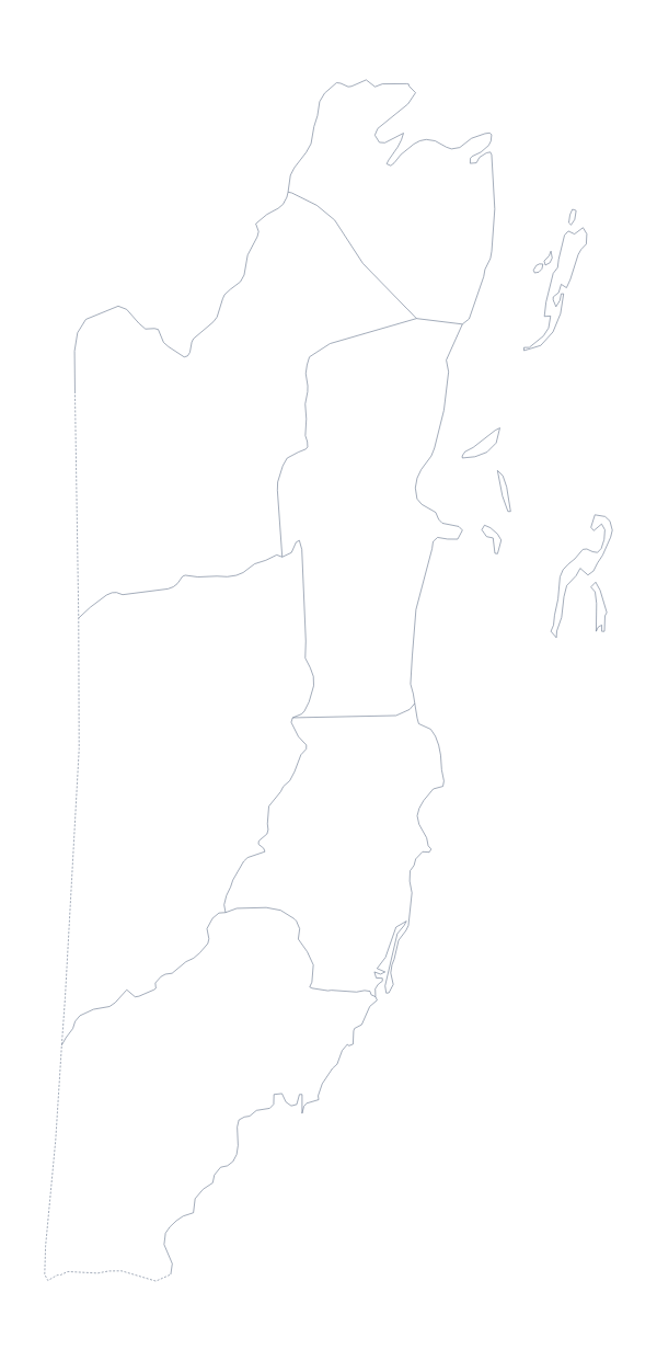
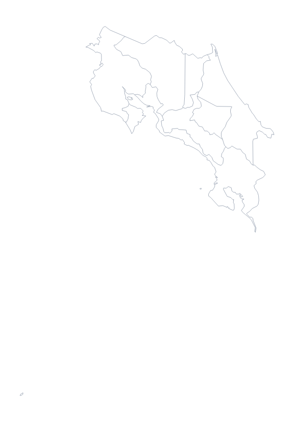
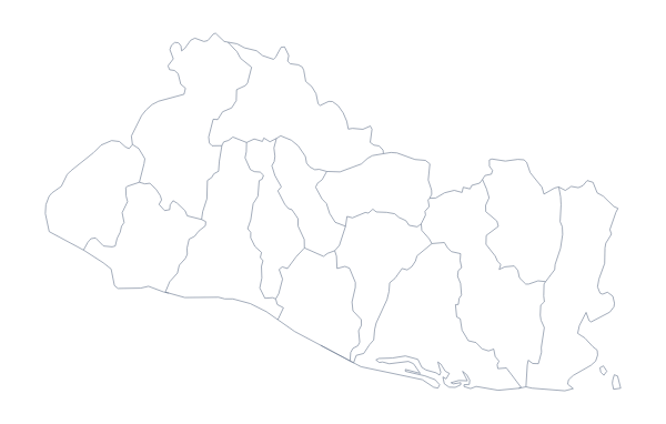
Maps of places in Central America
Questions people ask
Which countries are on the printable map of Central America?
The seven countries this map shows: Belize, Costa Rica, El Salvador, Guatemala, Honduras, Nicaragua and Panama. The list further down this page names them, so it doubles as an answer key.
What paper sizes can I print it on?
A4 and Letter from this page. For A3, which suits a display board, choose Customise before printing and download the PDF from the editor.
Can children colour it in?
Yes. Seven countries is a good number for younger children: one colour each, with the names copied into a key beside the map. Print in colour for a wall copy or in black and white for crayons.
Do I need to sign up to download it?
No. Both PDFs download straight away, in A4 or Letter, with no account and nothing to sign up for.