Choropleth map of Central America
Paste your numbers by country and get a colour-coded map with a legend.
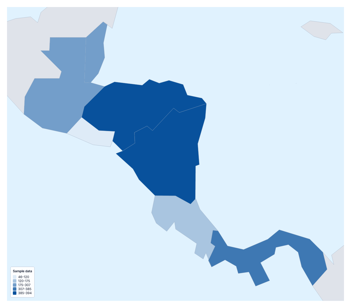
Your data on a map of Central America
Seven countries make a small table, and a small table is all this page needs. Paste two columns, the country and its value, from a spreadsheet or straight from a report, and Make my map opens Central America with each country coloured by your numbers. The colours above are sample values until you paste your own.
What a choropleth shows with seven countries
A choropleth colours each area by a value, usually darker for more, with a legend for the shades. With seven areas the picture is quick to take in. It reads best with rates, such as visitors per resident, rather than totals, because a total mostly tells you which country has the most people. It shows no exact figures and no single places; use pins for those.
What people map
Sales and marketing teams map orders or customers per person. Health and education researchers map figures that come country by country, such as school enrolment or vaccination rates. Tourism boards map visitor numbers or hotel nights, and a project manager can colour each country by a label such as started, planned or not yet, using the Categories method.
Your data and the colours
One row per country, the name in the first column and the value in the second; ISO 3166 codes match as well. Rows that cannot be matched are listed to fix or skip, and the blank spreadsheet on this page lists all seven with an empty Value column. Three classes with a one-colour scale suit low-to-high data. To compare with the wider region, add the same figures to the choropleth map of the Americas.
How to do it in MapMaker
- Copy the country column and the value column and paste them into the box.
- Choose Make my map to open Central America with your figures, or Upload a CSV for a file.
- Fix or skip any rows the editor could not match, then choose a method and three classes in the Data panel.
- Choose Download to save the map and its legend as a PNG, SVG or PDF.
Facts about Central America
This map shows the seven countries of Central America, from Guatemala and Belize to Panama. 7 members are on the map. The members are Belize, Costa Rica, El Salvador, Guatemala, Honduras, Nicaragua and Panama.
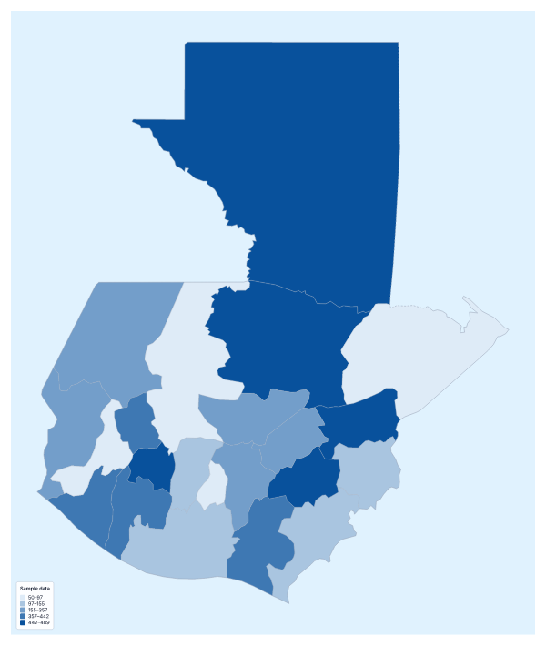
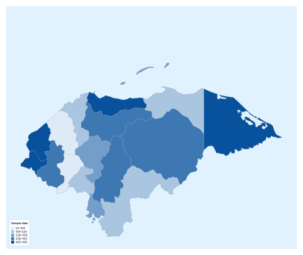
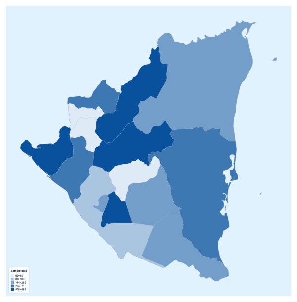
Maps of places in Central America
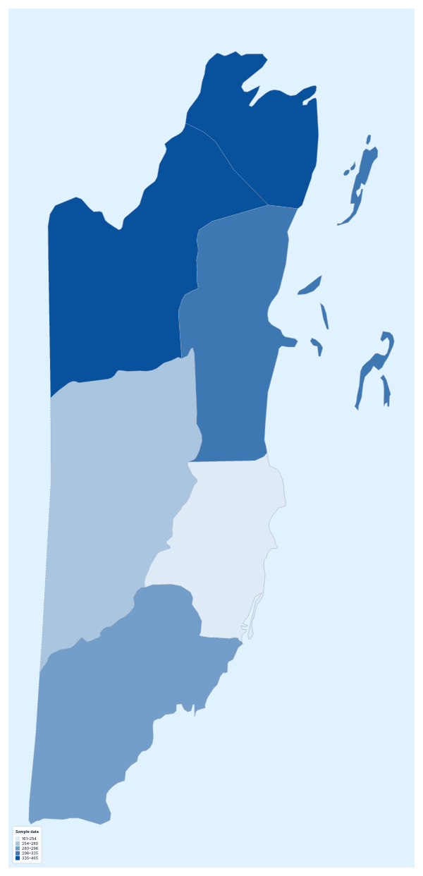
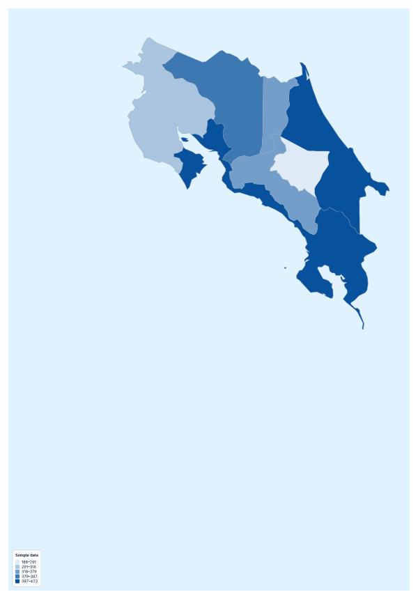
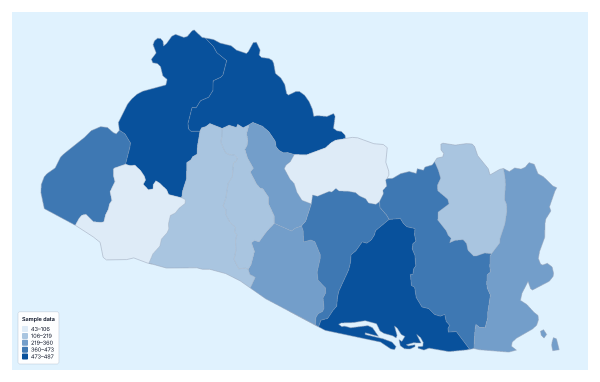
Questions people ask
Which countries can I add data for on the map of Central America?
The seven countries on the map: Belize, Costa Rica, El Salvador, Guatemala, Honduras, Nicaragua and Panama. Give each one a row with its name and its value.
How many colour steps should I use with seven countries?
Three is a sensible start. With only seven values, more steps leave some with a single country or none, and the legend stops saying anything. Equal steps or Quantile both work at this size.
Can I map categories instead of numbers?
Yes. Put a label in the value column, such as the project phase or the office that covers each country, and choose the Categories method in the Data panel. Each label gets its own colour in the legend.
Can I use my own colours?
Yes. In the Data panel you can pick another colour scale, reverse it or set the no data colour. A one-colour scale suits low-to-high data, and a two-colour scale suits values above and below a midpoint.