Printable map of Chinese provinces
Free PDFs, ready for A4 or Letter. Print in colour or black and white.
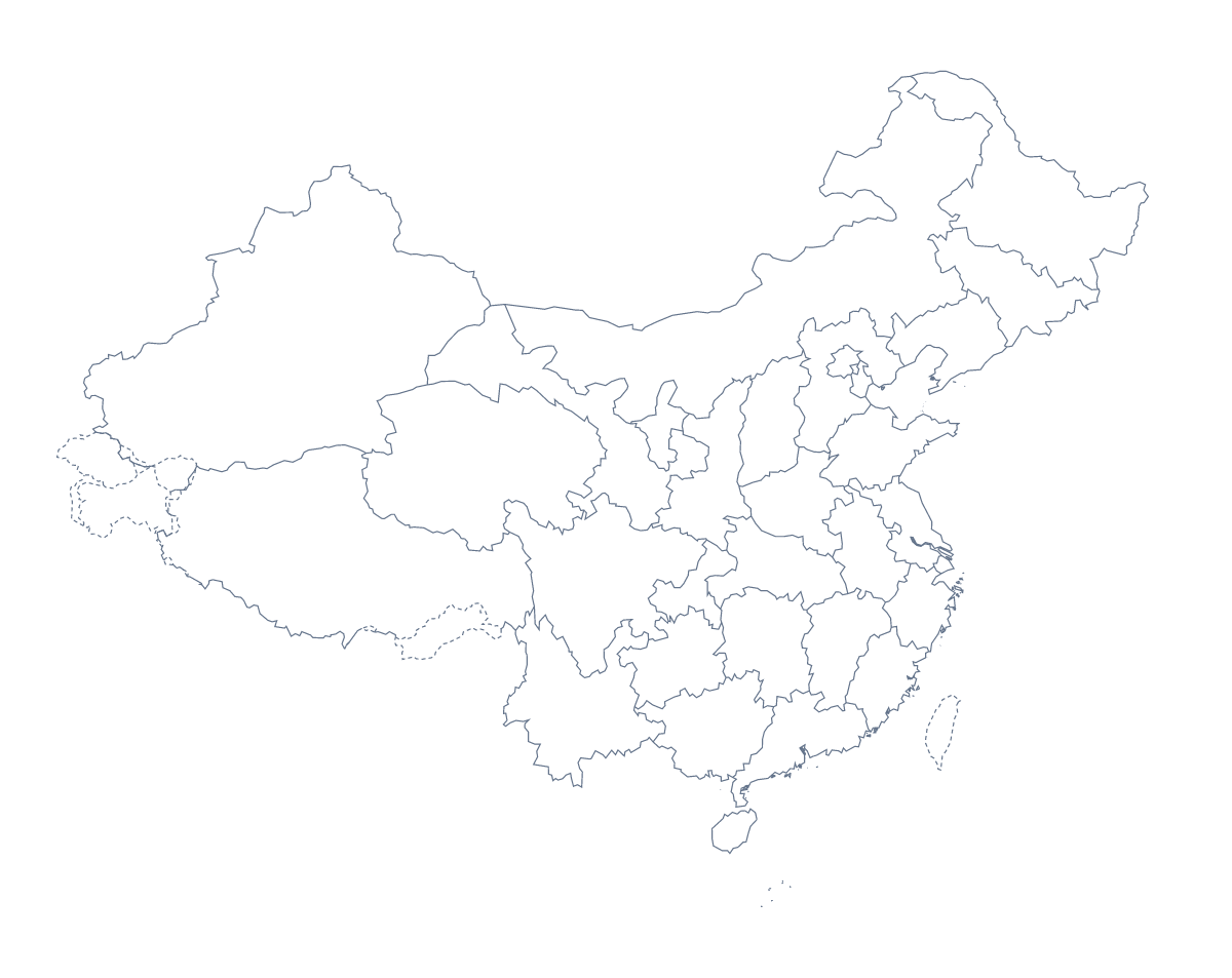
Printing a map of Chinese provinces
Teachers print a map of China when a lesson needs the country divided into pieces pupils can handle: 32 administrative areas, drawn with no names. This page has two PDFs, With regions and a blank outline, for A4 or Letter, in colour or black and white.
Start with the cities
For a first lesson, give out the blank outline and ask for five dots: Shanghai, Beijing, Guangzhou, Shenzhen and Wuhan. Pupils write each name beside its dot and use an atlas to check the position. Add a star for Beijing as the capital. It takes ten minutes and it leaves a sheet pupils can keep in their books.
Working on the areas
Older pupils get the version with regions. Ask them to label eight areas from the list further down this page, or to find the ones named in a text they are reading. The areas make good group-work shares: each group colours, labels and presents its part, and the sheets are laid out together.
A timed round suits a revision session: five minutes to write in as many names as they can, then swap and mark with the list. Keep a laminated copy for dry-wipe pens when the same sheet is used all term.
Which PDF and which settings
With regions is for labelling, colouring by a rule and quizzes; Blank outline is for placing cities and for lessons about shape. Pick A4 or Letter, and Black and white for a class set. Print at 100% so that the outline matches the key, or choose "fit to page" if your printer clips the edges.
For names, a title or A3 paper, choose Customise before printing. The country has its own sheet in the printable map of China.
How to do it in MapMaker
- Choose With regions to print the 32 areas, or Blank outline for the shape.
- Pick A4 or Letter, then Colour or Black and white.
- Print the PDF at 100%, or "fit to page" if the edges are cut off.
- Colour the areas a lesson needs with the bar on the map; Download your map saves a PDF of the map as it is now.
- Choose Customise before printing to add names, a title or A3 paper.
The 32 administrative areas on the map
A key for labelling the map by hand.
- Anhui
- Beijing
- Chongqing
- Fujian
- Gansu
- Guangdong
- Guangxi
- Guizhou
- Hainan
- Hebei
- Heilongjiang
- Henan
- Hubei
- Hunan
- Inner Mongolia
- Jiangsu
- Jiangxi
- Jilin
- Liaoning
- Ningxia
- Paracel Islands
- Qinghai
- Shaanxi
- Shandong
- Shanghai
- Shanxi
- Sichuan
- Tianjin
- Tibet
- Xinjiang
- Yunnan
- Zhejiang
Facts about Chinese provinces
This map shows 32 administrative areas in Eastern Asia. The capital is Beijing. The population is about 1.4 billion (2019 estimate). The largest cities are Shanghai, Beijing, Guangzhou, Shenzhen and Wuhan.
Questions people ask
How many areas does the printable map show?
The With regions PDF draws 32 administrative areas as separate shapes. The list further down this page names every one, so you can use it as the key when you mark a labelling sheet.
Are the names printed on the map?
No. The PDFs are drawn without names so that pupils can write them in. For a sheet with names or a title, choose Customise before printing and download a PDF from the editor.
Can I print it in black and white?
Yes. Choose Black and white before opening the PDF. Any areas you colour with the bar on the map print as different greys, which keeps a class set readable on the photocopier.
Which cities can pupils mark?
Shanghai, Beijing, Guangzhou, Shenzhen and Wuhan are the largest cities in the map's data, and Beijing is the capital. Pupils can add five dots to the blank outline and write each name beside its dot.