Blank map of Chinese provinces
The outline, free as a PNG, SVG or PDF. Label it, colour it in or drop it into a slide.
Using a blank map of Chinese provinces
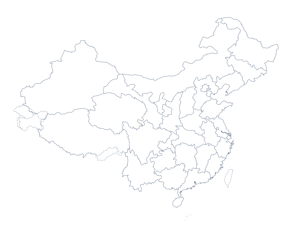
Sometimes all that is wanted is the shape: a base to label in a worksheet, to colour on a slide or to restyle in a design tool. This page has the Chinese provinces map in two versions. With borders draws 32 administrative areas with no names on them, and this page puts it first. Outline only is the shape of the whole place. Both come as a PNG, an SVG and a PDF.
Notes beside the shapes
Place the With borders PNG in a document and add a short note beside each area a report covers, such as Sichuan, Hunan, Shandong, Yunnan and Henan, with a thin line from the note to its shape. The list further down this page gives the spelling of every area.
Slides and design work
On a slide, the PNG's transparent background lets the slide's own colour show through. Colour one area to be the subject of the slide and keep the others pale. For a poster or a report cover, open the SVG in Illustrator, Inkscape or Figma and give each area a fill from your brand palette. Outline only serves a title slide that needs a plain shape.
Choosing
Take With borders when you want to label or colour individual areas. It draws the 32 administrative areas, and that is all it does. Take Outline only for the shape. Use the PNG for slides and documents, the SVG for design tools and the PDF for A4 or Letter.
To add names, a title or colours, the editable map of the Chinese provinces opens the same map in the editor. The blank map of China has the country's own files.
How to do it in MapMaker
- Choose With borders for the 32 areas, or Outline only for the whole shape.
- Pick PNG for a slide or worksheet, SVG for a design tool or a PDF for A4 or Letter.
- Place the file on your page and write a note beside each area a report covers, checking each spelling against the list on this page.
- Choose Customise this map to add names, colours or a title, then download from the editor.
The 32 administrative areas on the map
A key for labelling the map by hand.
- Anhui
- Beijing
- Chongqing
- Fujian
- Gansu
- Guangdong
- Guangxi
- Guizhou
- Hainan
- Hebei
- Heilongjiang
- Henan
- Hubei
- Hunan
- Inner Mongolia
- Jiangsu
- Jiangxi
- Jilin
- Liaoning
- Ningxia
- Paracel Islands
- Qinghai
- Shaanxi
- Shandong
- Shanghai
- Shanxi
- Sichuan
- Tianjin
- Tibet
- Xinjiang
- Yunnan
- Zhejiang
Facts about Chinese provinces
This map shows 32 administrative areas in Eastern Asia. The capital is Beijing. The population is about 1.4 billion (2019 estimate). The largest cities are Shanghai, Beijing, Guangzhou, Shenzhen and Wuhan.
Questions people ask
What is the difference between Outline only and With borders?
Outline only is the shape of the whole place with no lines inside it. With borders draws the 32 administrative areas as separate shapes with no names, so you can label or colour each one.
How many areas does the blank map show?
With borders draws 32 administrative areas. The list further down this page names each one, so it works as the answer sheet for a labelling task or a numbered quiz.
Which file should I use in a worksheet, a slide or a design?
Use the PNG for a worksheet or slide; its transparent background takes the colour behind it. Use the SVG for a design tool, and a PDF when the outline is going to paper.
How do I add names or my own colours?
The files have none, by design. Choose Customise this map to open the same outline in the editor, where you can show names, colour areas, add a title and download a new file.