Printable map of Eastern Europe
Free PDFs, ready for A4 or Letter. Print in colour or black and white.
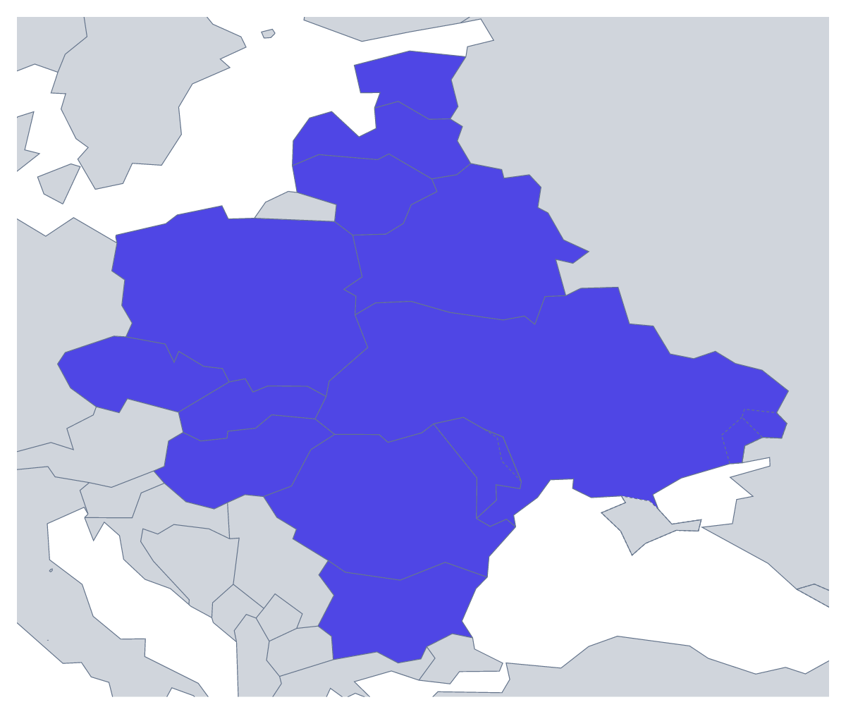
Printing a map of Eastern Europe
Teachers print this map for a unit on the region, a test on its capitals and countries, or a wall display; students print it to revise. Choose With country borders to show all 12 countries as separate shapes, or the Blank outline of the region. The PDFs are for A4 or Letter in colour or black and white, and they carry no names.
A twelve-country test
Twelve is a good number for a class test: enough to be worth marking, few enough to finish in a lesson. Give pupils the sheet with every country numbered and ask for the names. The list further down this page is the mark scheme. For a harder round, ask them to write the capital of each too, once they have looked them up.
For younger children, colour Estonia, Latvia and Lithuania in one colour and give each of the other countries its own, with a key at the side. A pair task works well in the middle years: each pair takes a country, finds two facts and writes them in the margin before the sheets are joined on a board.
Colour, paper and ink
The Blank outline is for pupils who draw the borders from an atlas. Black and white photocopies cleanly for a class set; colour suits a single sheet for the wall. To shade countries before printing, use the bar on the map and Download your map. For names, a title or A3 paper, choose Customise before printing. A pupil who finishes early can set the sheet beside the printable map of Europe and find where the region sits.
Printing tips
Print a single copy first and check the edges. If your printer clips the border, use "fit to page"; otherwise 100% keeps the countries to scale.
How to do it in MapMaker
- Choose A4 or Letter, then Colour or Black and white.
- Pick With country borders for the 12 countries, or Blank outline for the region alone.
- Print the PDF at 100%, or "fit to page" if your printer cuts the edges.
- To shade countries first, pick a colour in the bar on the map, click them and choose Download your map.
- Choose Customise before printing for names, a title or an A3 sheet.
The 12 members on the map
A key for labelling the map by hand.
- Belarus
- Bulgaria
- Czechia
- Estonia
- Hungary
- Latvia
- Lithuania
- Moldova
- Poland
- Romania
- Slovakia
- Ukraine
Facts about Eastern Europe
This map shows the countries usually counted as Eastern Europe; Russia, which spans Europe and Asia, is drawn in grey. 12 members are on the map. The members are Belarus, Bulgaria, Czechia, Estonia, Hungary, Latvia, Lithuania, Moldova, Poland, Romania, Slovakia and Ukraine.
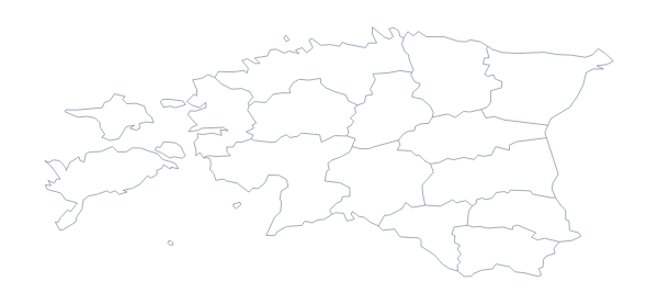
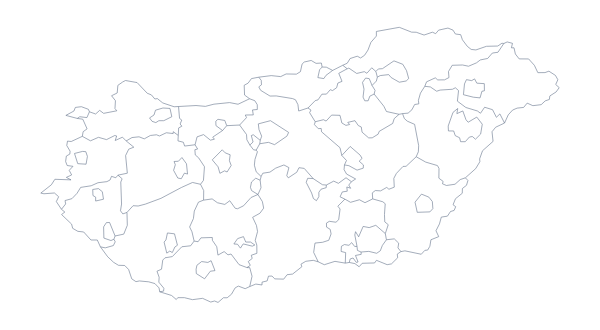
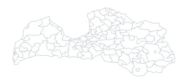
Maps of places in Eastern Europe
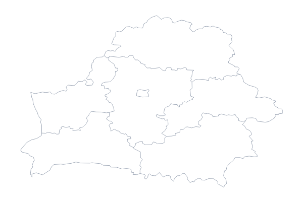
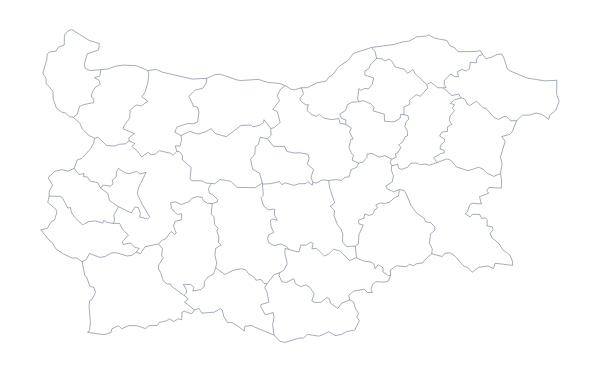
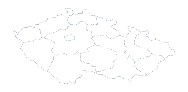
Questions people ask
Which countries are on the printable map of Eastern Europe?
12: Belarus, Bulgaria, Czechia, Estonia, Hungary, Latvia, Lithuania, Moldova, Poland, Romania, Slovakia and Ukraine. The list further down this page names each one and doubles as the answer key.
Why are some countries in grey on the printable map?
The countries around the region are drawn in grey for context, so pupils can see where Eastern Europe sits. They are not part of the 12 and take no colour if you shade the map before printing.
Which version should I print for a quiz?
With country borders, since each of the 12 countries has its own shape to number and name. The blank outline leaves the borders out and suits pupils who draw them from an atlas.
Can I print the map of Eastern Europe on A3?
Not from this page, which has A4 and Letter. Choose Customise before printing and the editor downloads an A3 PDF, which suits a classroom display.