Blank map of Eastern Europe
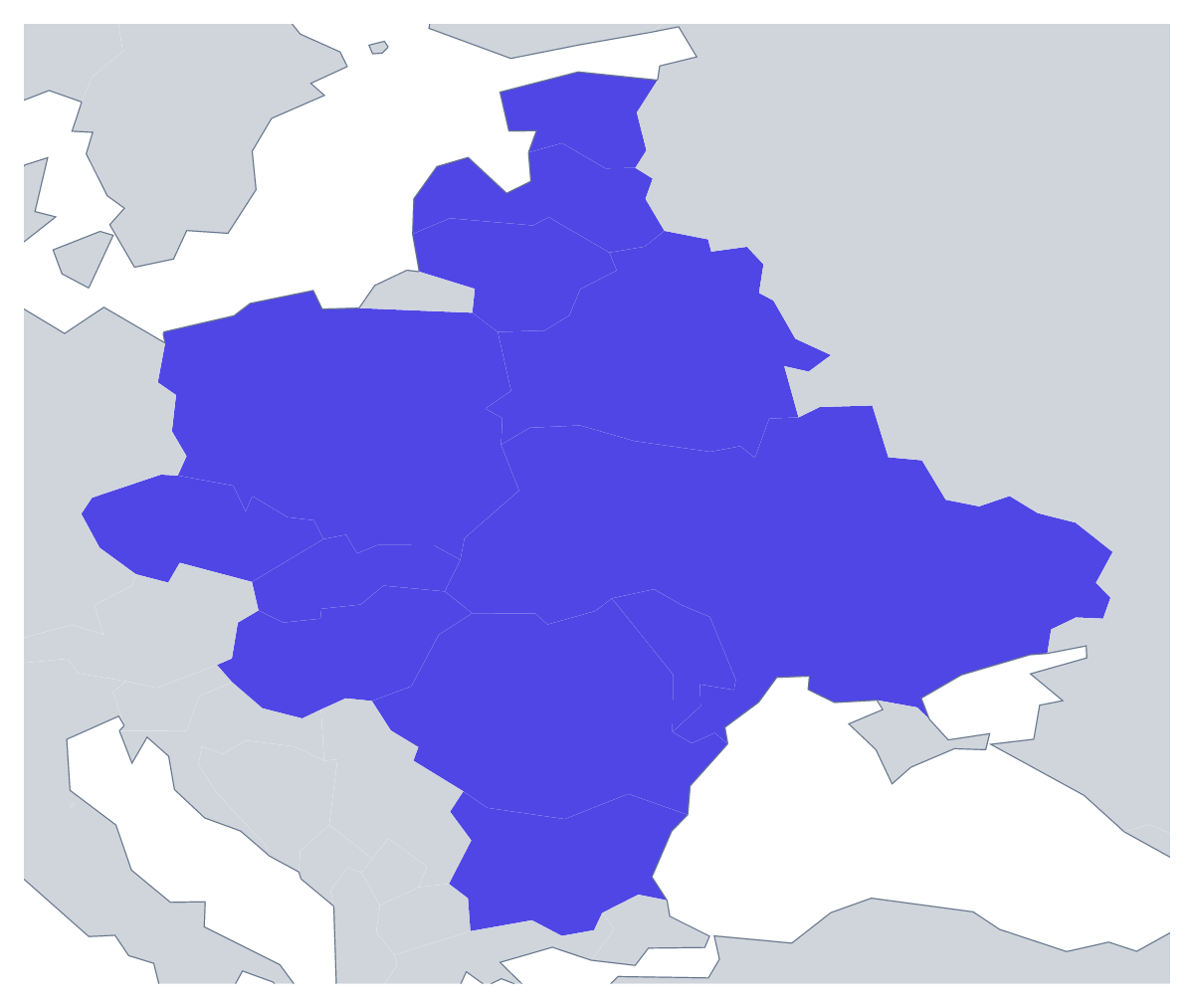
The outline, free as a PNG, SVG or PDF. Label it, colour it in or drop it into a slide.
Using a blank map of Eastern Europe
People who download a blank map of Eastern Europe tend to be mid-project: a report cover for a regional study, a worksheet in their own layout, a slide for a talk on a sales area, a graphic for an article. With borders shows the 12 countries as separate shapes, and Outline only gives the land as one. Each version is a PNG on a transparent background, an SVG or a PDF.
A report page and a handout
Put the PNG at the top of a document for a report section: a short paragraph under it for each of the 12 countries a study covers. The list further down this page is your check on spelling. The unnamed shapes mean you set every label in your own wording.
On a slide or in print
Set the transparent PNG on a title slide and the countries pick up its background, light or dark. Layered with a heading, it makes a clear cover for a regional market report. For a printed brochure, the SVG scales to any page size without blurring, and a designer can colour one country, such as Poland or Romania, while the rest stay pale.
Silhouette or countries
Outline only is the shape for small uses: an icon, a section marker, a faint pattern behind text. With borders is the political blank map of Eastern Europe, the right choice once the countries need telling apart. If your course counts a different set of countries, Customise this map opens the outline in the editor, where Custom set… under More, then Place, lets you change the list. For the same map ready to print in black and white, see the printable map of Eastern Europe.
How to do it in MapMaker
- Choose With borders for the 12 countries, or Outline only for the region as one shape.
- Pick the PNG for a slide or document, or the SVG for a design tool.
- Use PDF, A4 or PDF, Letter when the outline goes to the printer as it is.
- Open Customise this map for names, colours, a title or your own list of countries, then download from the editor.
The 12 members on the map
A key for labelling the map by hand.
- Belarus
- Bulgaria
- Czechia
- Estonia
- Hungary
- Latvia
- Lithuania
- Moldova
- Poland
- Romania
- Slovakia
- Ukraine
Facts about Eastern Europe
This map shows the countries usually counted as Eastern Europe; Russia, which spans Europe and Asia, is drawn in grey. 12 members are on the map. The members are Belarus, Bulgaria, Czechia, Estonia, Hungary, Latvia, Lithuania, Moldova, Poland, Romania, Slovakia and Ukraine.
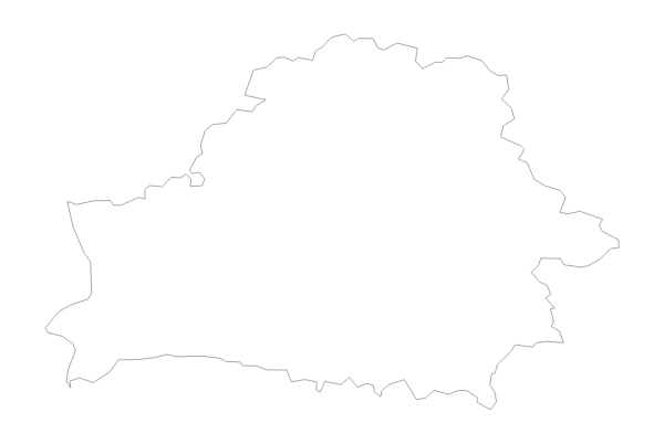
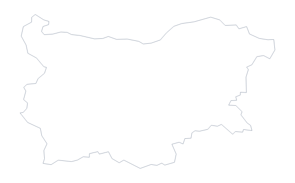
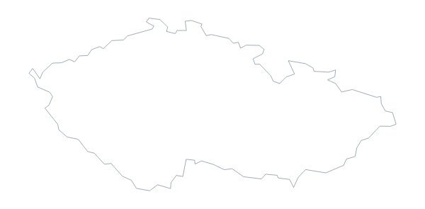
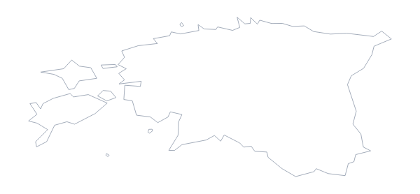
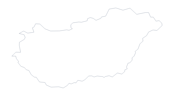
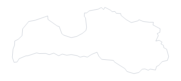
Maps of places in Eastern Europe
Questions people ask
Is there a political blank map of Eastern Europe?
Yes: the With borders version. It draws the borders between the 12 countries on the map and puts no names on them, so every country is its own shape to colour, name or restyle.
Which countries are on the blank map of Eastern Europe?
Belarus, Bulgaria, Czechia, Estonia, Hungary, Latvia, Lithuania, Moldova, Poland, Romania, Slovakia and Ukraine. The list further down this page gives them all.
Which file should I use in a worksheet, a slide or a design?
The PNG for worksheets and slides, as its transparent background takes the colour of the page. The SVG for Illustrator, Inkscape or Figma. The PDF to print the outline as it is on A4 or Letter.