Printable map of South African provinces
Free PDFs, ready for A4 or Letter. Print in colour or black and white.
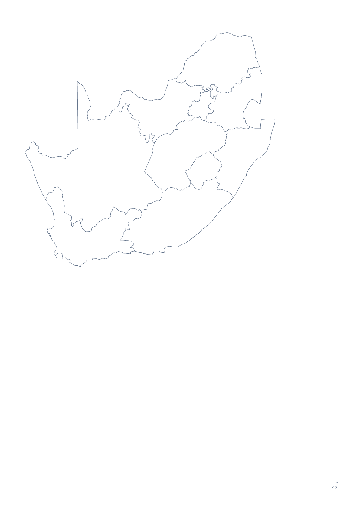
Printing a map of South African provinces
Nine provinces fit on one sheet with room to spare, which makes this map useful for a first labelling lesson as well as a revision test. This page has two PDFs for A4 or Letter, in colour or black and white: a blank outline, and a version with regions that draws the provinces with no names.
One province each
Give every pupil in a group a province of their own: they colour it, label it and write one fact they have researched in the margin. Put the sheets on the wall in a ring around a blank outline, and the class has a display.
A timed test
On the version with regions, ask pupils to write in as many province names as they can in four minutes, then swap and mark against the list further down this page. Because there are only 9, a full score is a fair target, and a repeat test a week later shows progress.
The youngest
Use the blank outline and ask for four dots: Johannesburg, Cape Town, Durban and Pretoria. A pupil who finishes early can find Benoni and add it. Each dot gets its name and a colour.
Which PDF, and how to print it
With regions for labelling and for colouring by a rule, Blank outline for placing cities. Choose Black and white for photocopies and A4 or Letter to match your paper. Print at 100% when the key must match, or "fit to page" if the edges are trimmed.
For names, a title or A3 paper, choose Customise before printing. The country has its own sheet in the printable map of South Africa.
How to do it in MapMaker
- Choose With regions for the 9 provinces, or Blank outline for the country's shape.
- Pick A4 or Letter, and Colour or Black and white.
- Open the PDF and print it at 100%.
- Colour the provinces your lesson needs with the bar on the map, then choose Download your map to save a PDF with them.
- Choose Customise before printing to add names, a title or A3 paper.
The 9 provinces on the map
A key for labelling the map by hand.
- Eastern Cape
- Free State
- Gauteng
- KwaZulu-Natal
- Limpopo
- Mpumalanga
- North West
- Northern Cape
- Western Cape
Facts about South African provinces
This map shows 9 provinces in Southern Africa. Together they have an area of about 1,220,000 km². The capital is Pretoria. The population is about 59 million (2019 estimate). The largest cities are Johannesburg, Cape Town, Benoni, Durban and Pretoria.
Questions people ask
How many provinces does the printable map show?
The With regions PDF shows 9 provinces. The list further down this page names every one, so it works as an answer key for a labelling sheet or a quick test.
Does the map show the names of the provinces?
No. The PDFs carry no names, so pupils can write them in. For a sheet with names or a title, choose Customise before printing and download a PDF from the editor.
Which cities can pupils mark on the map?
Johannesburg, Cape Town, Benoni, Durban and Pretoria are the five largest cities in the map's data. Pupils can mark them with dots on the blank outline and write each name beside its dot.
Can I print it in black and white?
Yes. Choose Black and white before opening the PDF. Provinces coloured with the bar on the map print as different greys, so a class set still reads well on the photocopier.