Printable map of Spanish-speaking countries
Free PDFs, ready for A4 or Letter. Print in colour or black and white.
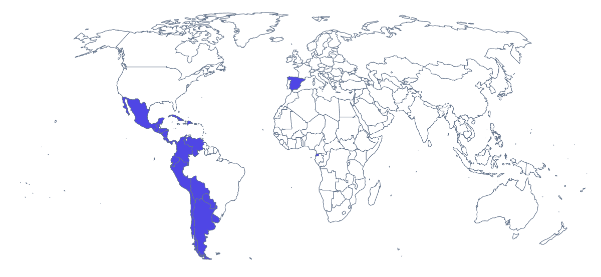
Printing a map of Spanish-speaking countries
Spanish teachers print this map for the start of a unit, a vocabulary test on countries or a wall display, and tutors use it for homework. You get two versions as PDFs for A4 or Letter: With country borders, with all 20 countries shown as separate shapes, and a Blank outline of the land. No names are printed, which leaves the naming to pupils.
Labelling in Spanish
The blank names are the point here. Pupils write each country's name in Spanish, using the list further down this page as the answer key, and add the article where one is needed. For a fast starter, number eight countries on a copy and give pupils three minutes. A harder round asks for the names with correct spelling and accents, marked by a partner.
Other ways to use the sheet
Younger learners can colour countries as they meet them in class: Mexico first, then Spain, then a new one each week, so the sheet becomes a record of the course. A group project can give each pair one country; they colour it, write three Spanish sentences about it in the margin and pin their sheet around a larger display.
For a quick atlas task, ask pupils to find Spain and Equatorial Guinea on a wider map first, then mark them here.
Versions and print choices
With country borders is the version for any task where a country must be named or coloured. Choose the Blank outline for drawing borders by hand. Colour suits one sheet for the wall; black and white suits a class set. To shade chosen countries first, use the bar on the map and Download your map. For printed names, a title or A3, choose Customise before printing.
How to do it in MapMaker
- Pick A4 or Letter, then Colour or Black and white.
- Choose With country borders for the 20 countries, or Blank outline for the land alone.
- Print the PDF at 100% so every sheet in the class set matches.
- To mark the countries a unit has covered, colour them with the bar on the map and choose Download your map.
- Choose Customise before printing for names, a title or an A3 sheet.
The 20 members on the map
A key for labelling the map by hand.
- Argentina
- Bolivia
- Chile
- Colombia
- Costa Rica
- Cuba
- Dominican Republic
- Ecuador
- El Salvador
- Equatorial Guinea
- Guatemala
- Honduras
- Mexico
- Nicaragua
- Panama
- Paraguay
- Peru
- Spain
- Uruguay
- Venezuela
Facts about Spanish-speaking countries
This map shows the countries where Spanish is an official language. 20 members are on the map.
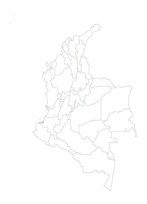
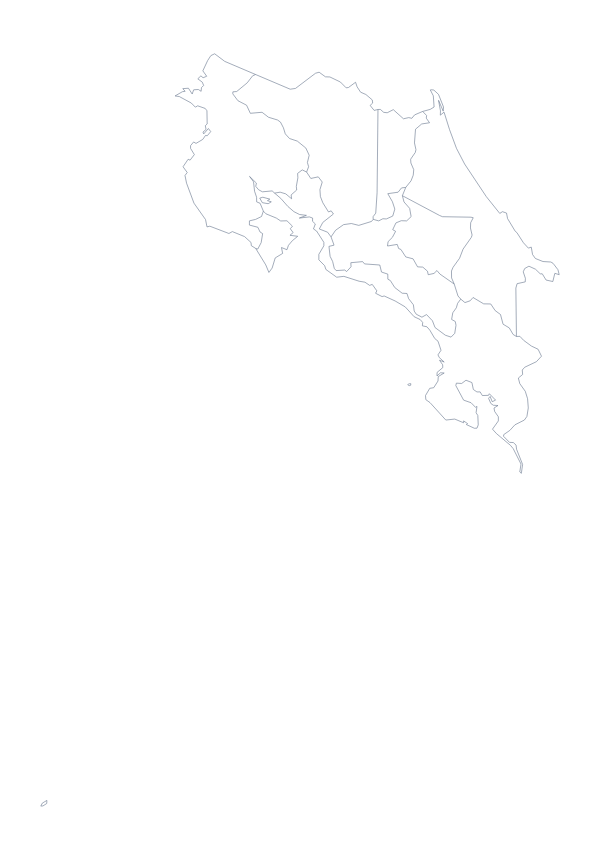
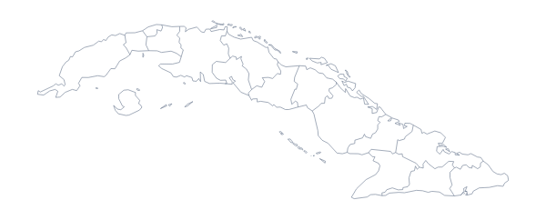
Maps of places in Spanish-speaking countries
Questions people ask
Which countries are on the printable map of Spanish-speaking countries?
20 countries, from Argentina and Bolivia to Uruguay and Venezuela, with Mexico and Spain among them. The list further down this page names each one, so it can be used as the answer key for a labelling sheet.
Can pupils write the names in Spanish?
Yes. The PDFs carry no names, so pupils can write each country in Spanish, or in English with the Spanish beside it. For a copy with names printed, choose Customise before printing and download a PDF from the editor.
Which version should I print for a labelling worksheet?
With country borders, which gives each of the 20 countries a shape of its own. The blank outline leaves the borders out and suits pupils who draw them in themselves.
Can I print it in black and white for a class set?
Yes. Choose Black and white before you download and the PDF prints without colour, which photocopies cleanly and saves ink.