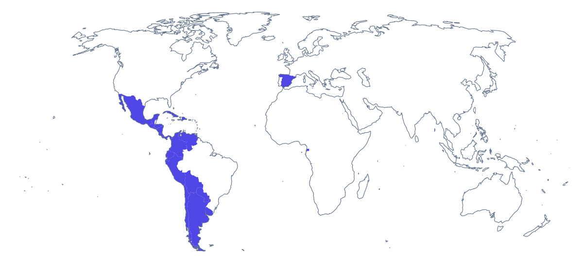
Blank map of Spanish-speaking countries
The outline, free as a PNG, SVG or PDF. Label it, colour it in or drop it into a slide.
Using a blank map of Spanish-speaking countries
A teacher making a Spanish worksheet, a language department designing a poster or a business building a launch slide all want the same thing: the countries, without names, in a file they can place. With borders separates the 20 countries on the map; Outline only draws the land they sit on as a single shape. Each comes as a PNG on a transparent background, an SVG or a PDF.
Handouts and welcome pages
A department can set the PNG at the top of a welcome page for a Spanish week, with a title in Spanish above it and a short note on each country the programme visits. Switch your notes between English and Spanish as the year goes on. The list further down this page gives the 20 names to copy.
Posters and slides
The transparent background means the map takes the colour of a wall poster or a dark slide. A department can set it behind a welcome banner for a Spanish week. A company can place it beside a list of the markets a product is launching in, and shade only those countries in a design tool.
Design files
The SVG opens in Illustrator, Inkscape or Figma at any size. Fill one country in a brand colour while the rest stay pale, thicken the borders for a printed handout, or trace the outline for a stamp or a sticker.
Choosing
Take With borders, the political blank map of Spanish-speaking countries, when the countries must be told apart, and Outline only for a silhouette. The PNG suits documents and slides, the SVG redrawing and the PDF a copy printed as it is. For print choices such as black and white, go to the printable map of Spanish-speaking countries.
How to do it in MapMaker
- Choose With borders for the 20 countries, or Outline only for the land as one shape.
- Download the PNG for a worksheet or slide, or the SVG for a design tool.
- Use PDF, A4 or PDF, Letter to print the outline as it is.
- Choose Customise this map for names, colours or a title, then download from the editor.
The 20 members on the map
A key for labelling the map by hand.
- Argentina
- Bolivia
- Chile
- Colombia
- Costa Rica
- Cuba
- Dominican Republic
- Ecuador
- El Salvador
- Equatorial Guinea
- Guatemala
- Honduras
- Mexico
- Nicaragua
- Panama
- Paraguay
- Peru
- Spain
- Uruguay
- Venezuela
Facts about Spanish-speaking countries
This map shows the countries where Spanish is an official language. 20 members are on the map.
Maps of places in Spanish-speaking countries
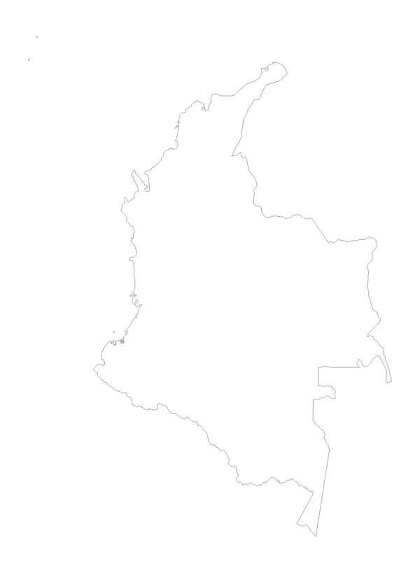
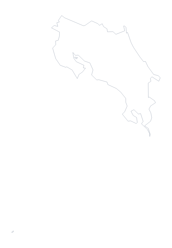
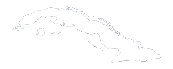
Questions people ask
Is there a political blank map of Spanish-speaking countries?
Yes: the With borders version. It draws the borders between the 20 countries on the map and leaves them unnamed, so each one is a shape to name, colour or restyle yourself.
Which countries are on the blank map of Spanish-speaking countries?
Argentina, Bolivia, Chile, Colombia, Costa Rica, Cuba, the Dominican Republic, Ecuador, El Salvador, Equatorial Guinea, Guatemala, Honduras, Mexico, Nicaragua, Panama, Paraguay, Peru, Spain, Uruguay and Venezuela.
Does the PNG have a transparent background?
Yes. Only the countries are drawn, so the map sits on the colour of your worksheet, slide or poster with no white box around it.