Printable map of the Americas
Free PDFs, ready for A4 or Letter. Print in colour or black and white.
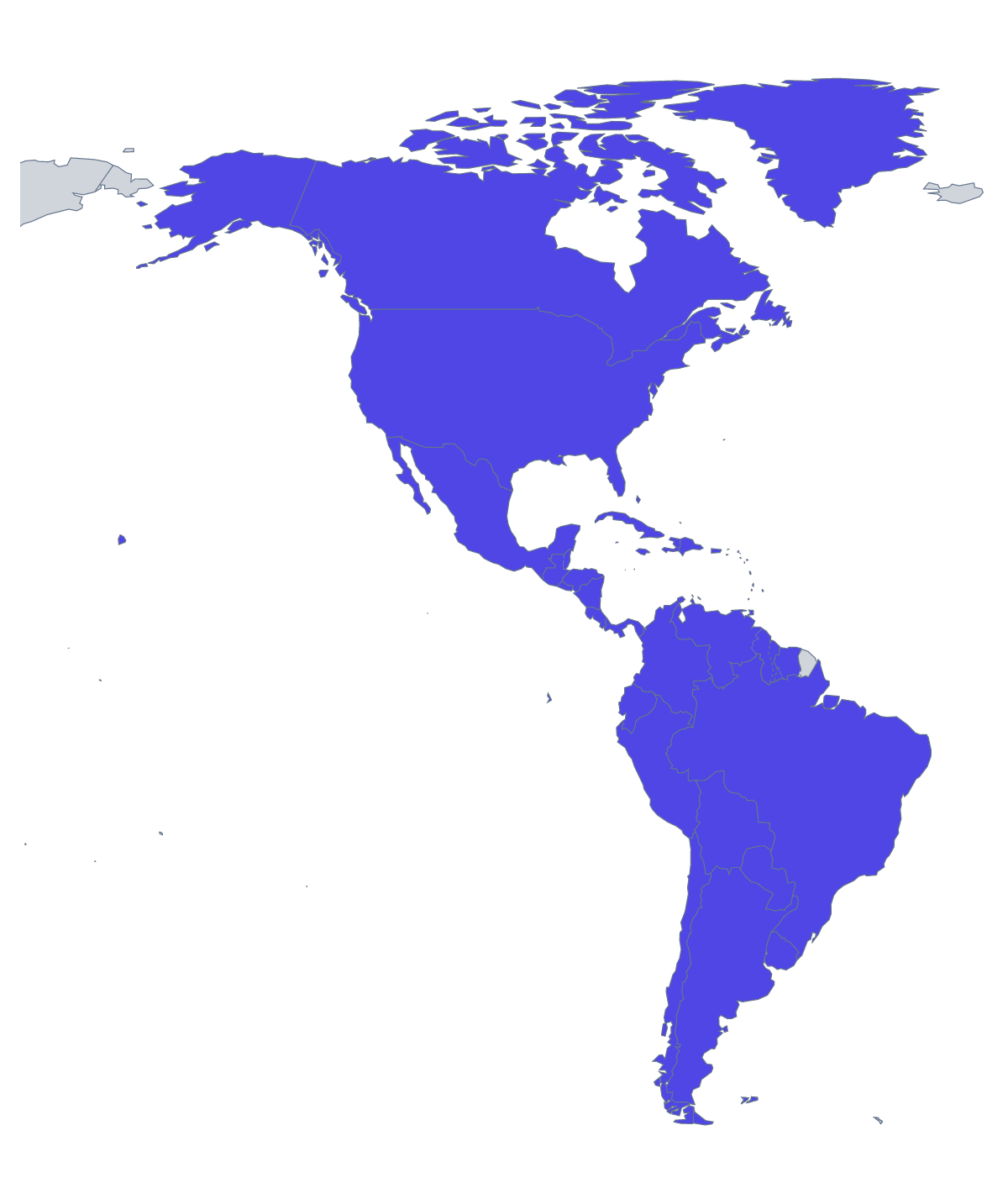
Printing a map of the Americas
52 countries and territories is a lot for one page, and the way to use this sheet is shaped by that. It suits a wall chart for a topic on the hemisphere, a revision sheet where pupils fill in only the ones they are learning or a travel plan on paper. There are two versions: With country borders, with every shape separated, and a Blank outline of the land. No names are printed.
Teaching with a large map
Do not ask for everything at once. Number eight countries on a copy and ask for those names, then raise the number on a second sheet a week later. A team game works well too: split the class into groups of four, give each group a corner of the map to label from the list further down this page and join the sheets into one display.
For younger children, a colouring task is enough: pick the countries you are studying, such as Mexico, Brazil and Canada, and colour each a different colour with a key in the margin. Older pupils can colour by a rule you set, such as the countries a unit has covered so far.
Which version to print
With country borders is the sheet for anything that involves naming or colouring a country, since the shapes are separate. The Blank outline suits pupils who draw the borders from an atlas. Black and white copies well for a class set. Shade countries with the bar on the map and Download your map gives you a version of your own; for names or A3, choose Customise before printing. For a smaller region, the printable map of South America has fewer shapes per sheet.
Printing tips
The smallest territories are fine detail at A4, so print a test page first and check they show up. A laminated copy lets pupils mark and wipe.
How to do it in MapMaker
- Select A4 or Letter, then Colour or Black and white.
- Choose With country borders to separate the countries, or Blank outline for the land alone.
- Print the PDF at 100% so the smaller territories stay legible.
- Colour the countries your lesson covers with the bar on the map, then choose Download your map.
- Choose Customise before printing for names, a title or an A3 sheet.
The 52 members on the map
A key for labelling the map by hand.
- Anguilla
- Antigua and Barbuda
- Argentina
- Aruba
- Bahamas
- Barbados
- Belize
- Bermuda
- Bolivia
- Brazil
- British Virgin Islands
- Canada
- Cayman Islands
- Chile
- Colombia
- Costa Rica
- Cuba
- Curaçao
- Dominica
- Dominican Republic
- Ecuador
- El Salvador
- Falkland Islands
- Greenland
- Grenada
- Guatemala
- Guyana
- Haiti
- Honduras
- Jamaica
- Mexico
- Montserrat
- Nicaragua
- Panama
- Paraguay
- Peru
- Puerto Rico
- Saint Barthélemy
- Saint Kitts and Nevis
- Saint Lucia
- Saint Martin
- Saint Pierre and Miquelon
- Saint Vincent and the Grenadines
- Sint Maarten
- Suriname
- Trinidad and Tobago
- Turks and Caicos Islands
- United States Minor Outlying Islands
- United States of America
- United States Virgin Islands
- Uruguay
- Venezuela
Facts about the Americas
52 members are on the map.
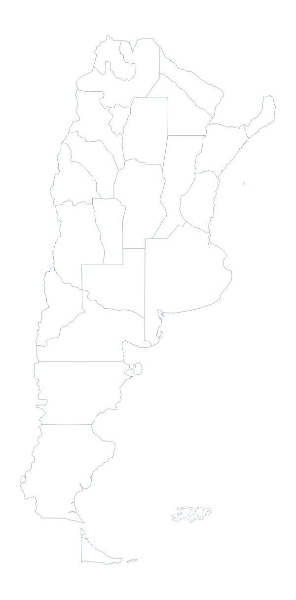
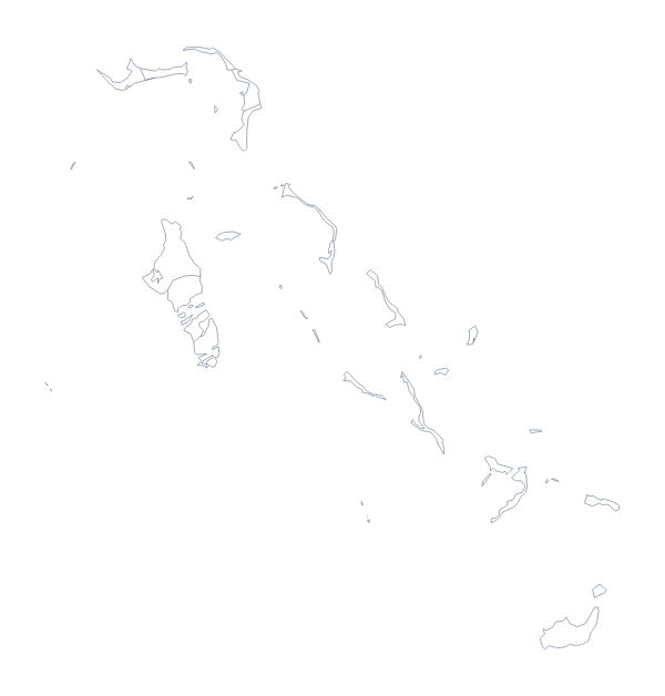
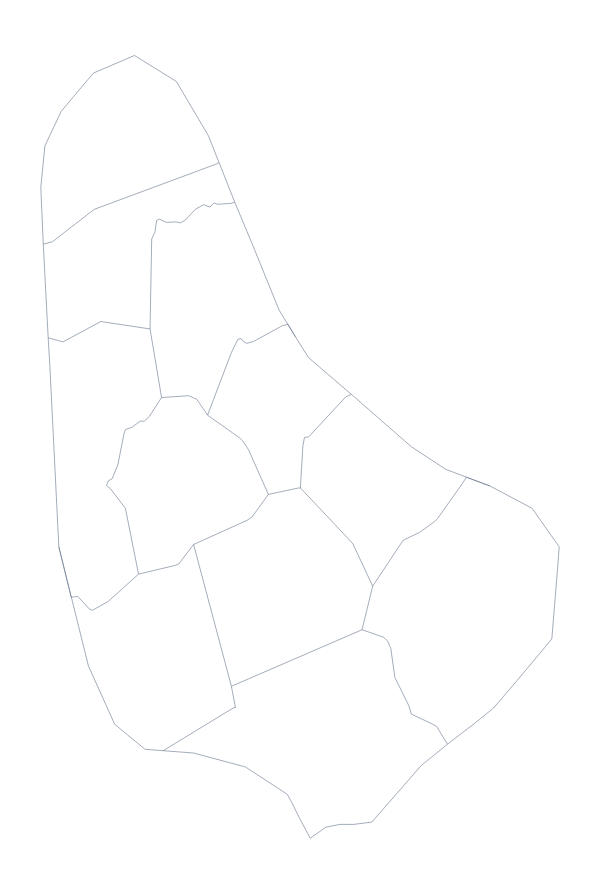
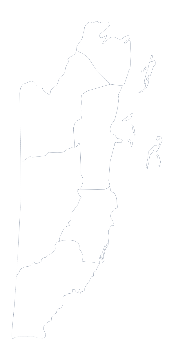
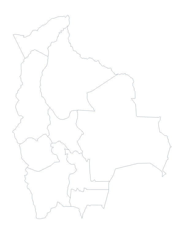
Maps of places in the Americas

Questions people ask
How many countries are on the printable map of the Americas?
52 countries and territories are on the map. The list further down this page names every one, so it is the answer key for any labelling you set, whether pupils name five of them or the whole sheet.
Should I print the whole map for a labelling test?
For most classes, no. 52 shapes is a lot for one sheet. Number a handful for the test, or choose Customise before printing to build a version limited to the part of the Americas you are teaching.
What is the difference between the blank outline and the version with country borders?
The blank outline shows the land without the lines between countries. With country borders adds them, so each country or territory has its own shape to label or colour. Neither prints any names.
Can I print the map of the Americas on A3?
Not from this page, which has A4 and Letter. Choose Customise before printing and the editor downloads the map as an A3 PDF, which gives the smaller territories more room on a wall display.