Blank map of the Americas
The outline, free as a PNG, SVG or PDF. Label it, colour it in or drop it into a slide.
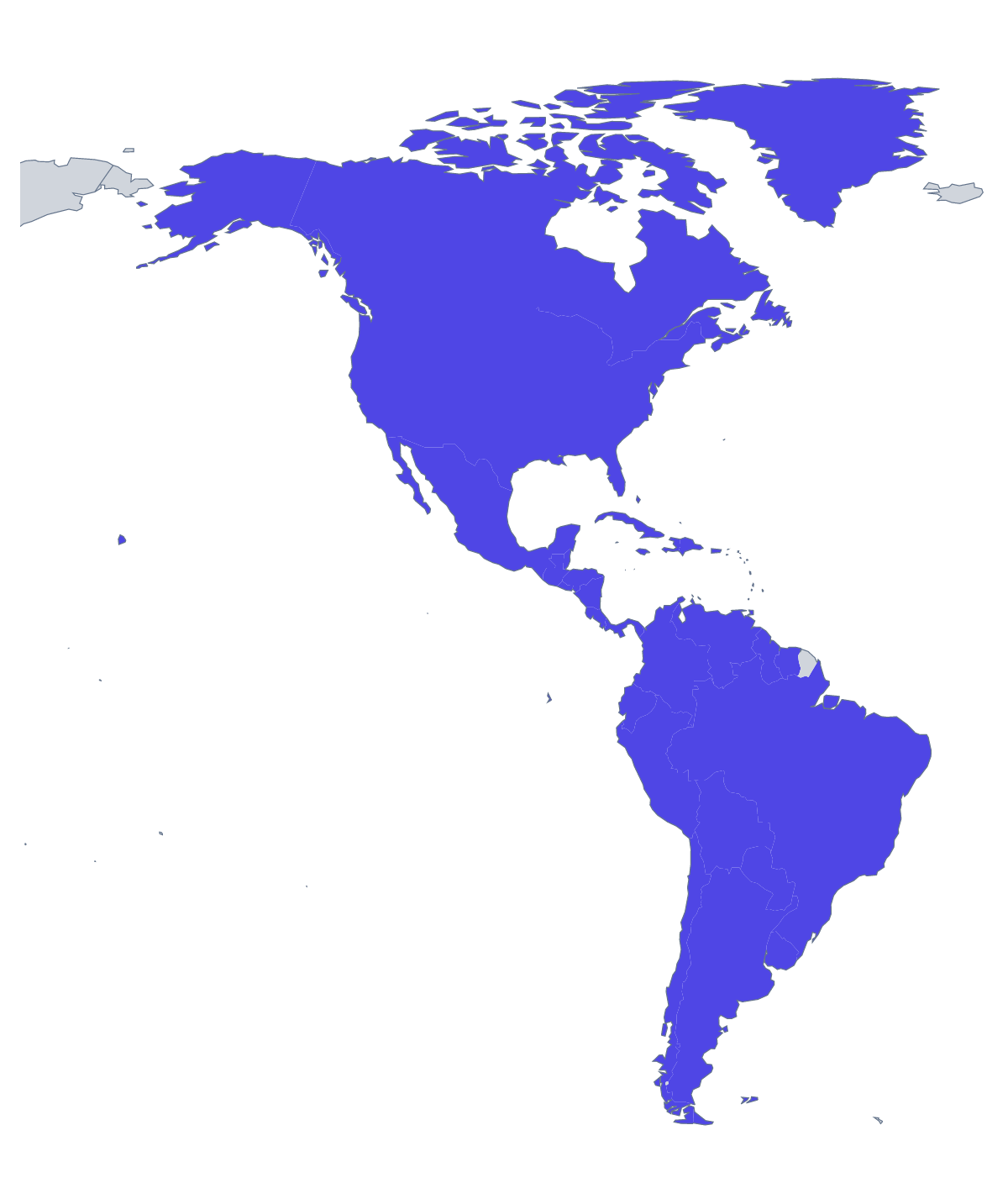
Using a blank map of the Americas
The outline of the Americas turns up as a masthead on a newsletter, the backdrop of a global sales slide, a travel-blog header or the centrepiece of a classroom display. The page offers Outline only, the land as a single shape, and With borders, which separates the 52 countries and territories on the map. Both come as a PNG on a transparent background, an SVG or a PDF.
In documents and slides
Because the PNG has a transparent background, you can lay it over a gradient, a photograph or a plain brand colour on a title slide and nothing sits around it. Stretch it across the full width of a report cover and put the title in the space beside it, or use it small as a section marker in a long deck.
For designers and makers
The SVG matters most on a map with this many pieces. In a design tool you can select one country, fill it and leave the rest pale, thicken the borders for print or send the outline to a cutter for a wall display. Because every shape is separate in With borders, restyling is a matter of clicking.
Reports and handouts
A project report can use the With borders PNG as a header on each page, with the countries a section covers filled in one colour in a drawing tool and the rest left pale. With 52 shapes, the list further down this page is a handy check on spelling when you write the captions.
Version and file
With borders is the political blank map of the Americas, the one to choose when countries must be told apart; Outline only suits a small icon or a pale pattern. Use the PNG for slides and documents, the SVG for redrawing and the PDF for A4 or Letter. For print choices, see the printable map of the Americas.
How to do it in MapMaker
- Choose Outline only for the land as one shape, or With borders to separate the countries.
- Take the PNG into a deck or a document, or the SVG into a design tool.
- Use PDF, A4 or PDF, Letter when the outline is going to paper as it is.
- Open Customise this map for names, colours or a title, then download from the editor.
The 52 members on the map
A key for labelling the map by hand.
- Anguilla
- Antigua and Barbuda
- Argentina
- Aruba
- Bahamas
- Barbados
- Belize
- Bermuda
- Bolivia
- Brazil
- British Virgin Islands
- Canada
- Cayman Islands
- Chile
- Colombia
- Costa Rica
- Cuba
- Curaçao
- Dominica
- Dominican Republic
- Ecuador
- El Salvador
- Falkland Islands
- Greenland
- Grenada
- Guatemala
- Guyana
- Haiti
- Honduras
- Jamaica
- Mexico
- Montserrat
- Nicaragua
- Panama
- Paraguay
- Peru
- Puerto Rico
- Saint Barthélemy
- Saint Kitts and Nevis
- Saint Lucia
- Saint Martin
- Saint Pierre and Miquelon
- Saint Vincent and the Grenadines
- Sint Maarten
- Suriname
- Trinidad and Tobago
- Turks and Caicos Islands
- United States Minor Outlying Islands
- United States of America
- United States Virgin Islands
- Uruguay
- Venezuela
Facts about the Americas
52 members are on the map.
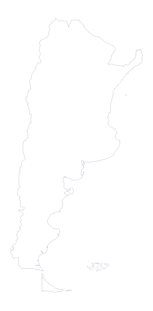
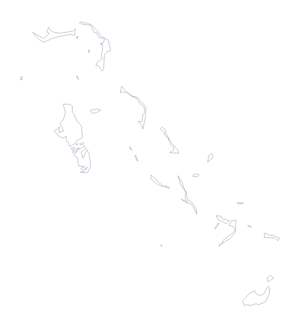
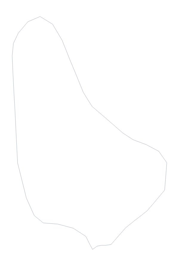
Maps of places in the Americas

Questions people ask
Is there a political blank map of the Americas?
Yes: the With borders version. It draws the borders between the 52 countries and territories on the map and puts no names on any of them, so each shape is yours to colour, label or restyle.
Will the smaller territories show up in the SVG?
Yes. The SVG is a vector file, so you can zoom in to a small territory as far as you like in Illustrator, Inkscape or Figma without it blurring. In a PNG, check them at the size you will use.
Does the blank map of the Americas have names on it?
No. A blank map has no names. The list further down this page names all 52 countries and territories, and Customise this map opens the outline in the editor if you want names shown.
Which file should I use in a worksheet, a slide or a design?
The PNG for worksheets and slides, since its transparent background takes the colour of the page. The SVG for design tools. The PDF to print the outline as it is on A4 or Letter.