Printable map of US states
Free PDFs, ready for A4 or Letter. Print in colour or black and white.
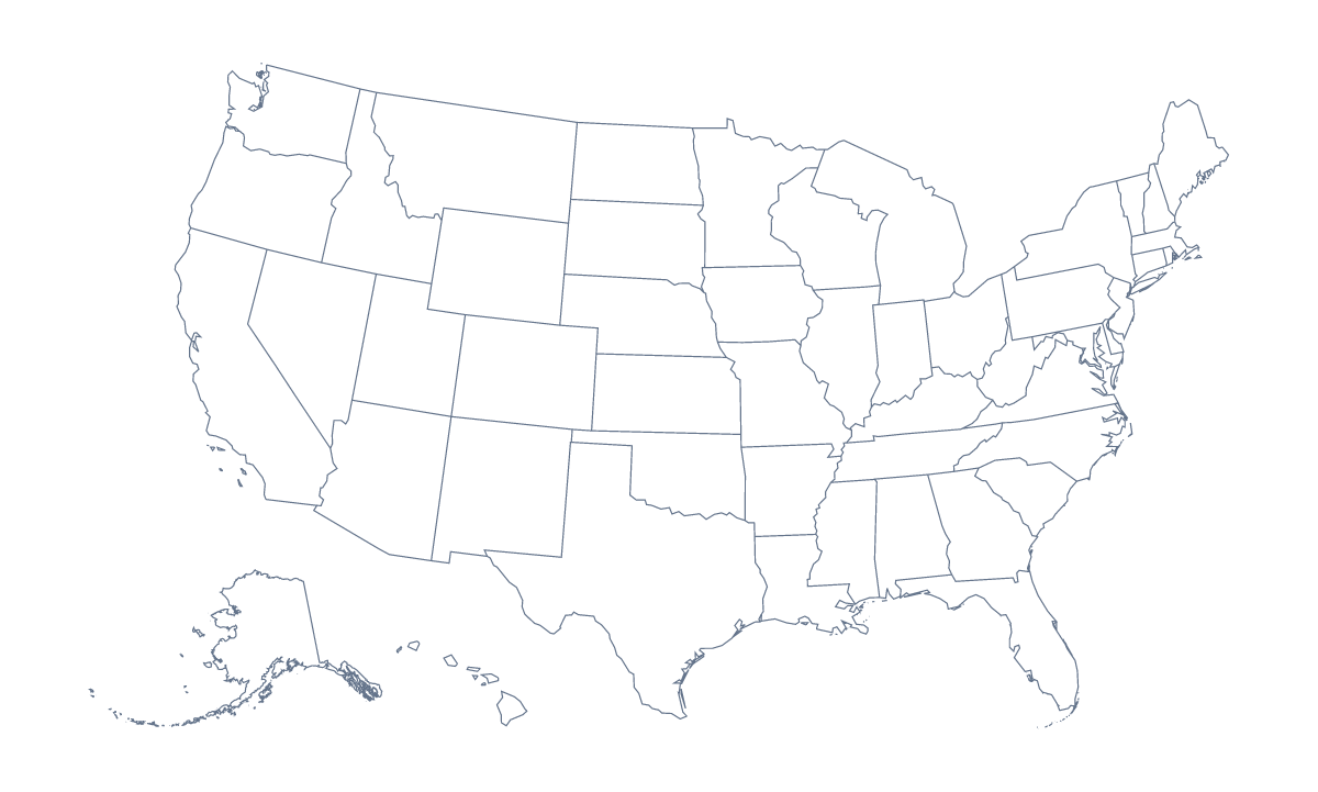
Printing a map of US states
Teachers print a map of the US states for a states quiz, a social studies lesson or a wall display; parents print one for homework or to colour in on a road trip. The version with regions shows all 50 states and the District of Columbia, and the blank outline shows the country's shape without the state lines. Both are PDFs for Letter or A4, in colour or black and white, with no names printed.
Worksheets on the states
Younger children can colour their home state, then the states their family has visited, and add a key that says what each colour means. Ask them to mark Washington, D.C., with a star and New York, Los Angeles and Chicago with dots, using a wall map to find them.
Older pupils can label the states from the list further down this page, which doubles as an answer key. A timed round works well: ten minutes to write in as many states as they can, then swap sheets and mark against the list. For group work, give each group a handful of states to research, colour and label, and join the sheets into one display.
On a long drive, a black-and-white copy and a pack of crayons make a game: colour in each state as the car crosses into it, and write the date beside it.
Which version to print
Print the version with regions for labelling, quizzes and colouring by a rule, since each state has its own shape to fill. Print the blank outline when pupils will draw the state lines themselves or need only the outline of the country; for the country on its own, there is also the printable map of the United States of America. Black and white suits a class set you will photocopy; colour suits a single copy or a display.
For names, a title or an A3 sheet for the wall, choose Customise before printing: the editor opens the same map and downloads a PDF on Letter, A4 or A3.
Printing tips
The map of the states is wider than it is tall, so the PDF comes out in landscape; if your print settings ask, choose landscape to match. Print at 100% for matching copies, or "fit to page" if the edges are cut off. A laminated copy lasts the term with dry-wipe pens.
How to do it in MapMaker
- Pick Letter or A4, and Black and white for a class set or Colour for a single copy.
- Choose With regions for the 50 states and the District of Columbia, or Blank outline for the country's shape.
- Print with "fit to page" if your printer trims the edges, or at 100% for matching copies.
- Colour the states a lesson needs with the bar on the map, and Download your map saves a PDF of the map with those colours.
- Choose Customise before printing to add names, a title or pins, then download a PDF from the editor.
The 50 states and the District of Columbia on the map
A key for labelling the map by hand.
- Alabama
- Alaska
- Arizona
- Arkansas
- California
- Colorado
- Connecticut
- Delaware
- District of Columbia
- Florida
- Georgia
- Hawaii
- Idaho
- Illinois
- Indiana
- Iowa
- Kansas
- Kentucky
- Louisiana
- Maine
- Maryland
- Massachusetts
- Michigan
- Minnesota
- Mississippi
- Missouri
- Montana
- Nebraska
- Nevada
- New Hampshire
- New Jersey
- New Mexico
- New York
- North Carolina
- North Dakota
- Ohio
- Oklahoma
- Oregon
- Pennsylvania
- Rhode Island
- South Carolina
- South Dakota
- Tennessee
- Texas
- Utah
- Vermont
- Virginia
- Washington
- West Virginia
- Wisconsin
- Wyoming
Facts about US states
This map shows 50 states and the District of Columbia in Northern America. Together they have an area of about 9,450,000 km². The capital is Washington, D.C. The population is about 330 million (2019 estimate). The largest cities are New York, Los Angeles, Chicago, Miami and Philadelphia.
Questions people ask
How many states does the map show?
The version with regions shows all 50 states and the District of Columbia, each drawn as its own shape. The list of states further down this page names them, so it can serve as the key for checking answers.
Does the printable map show the names of the states?
No. The PDFs have no names printed, so pupils can write them in. For a copy with names, choose Customise before printing, select the states and choose Show names, then download a PDF from the editor.
Is there an answer key for a quiz?
Yes. The list of states on this page works as the key: number some states on a blank copy, hand out the sheet and check the answers against the list afterwards.
What paper sizes can I print it on?
Letter and A4, the two sizes on this page, each in colour or black and white. For a larger wall map, choose Customise before printing and download an A3 PDF from the editor.