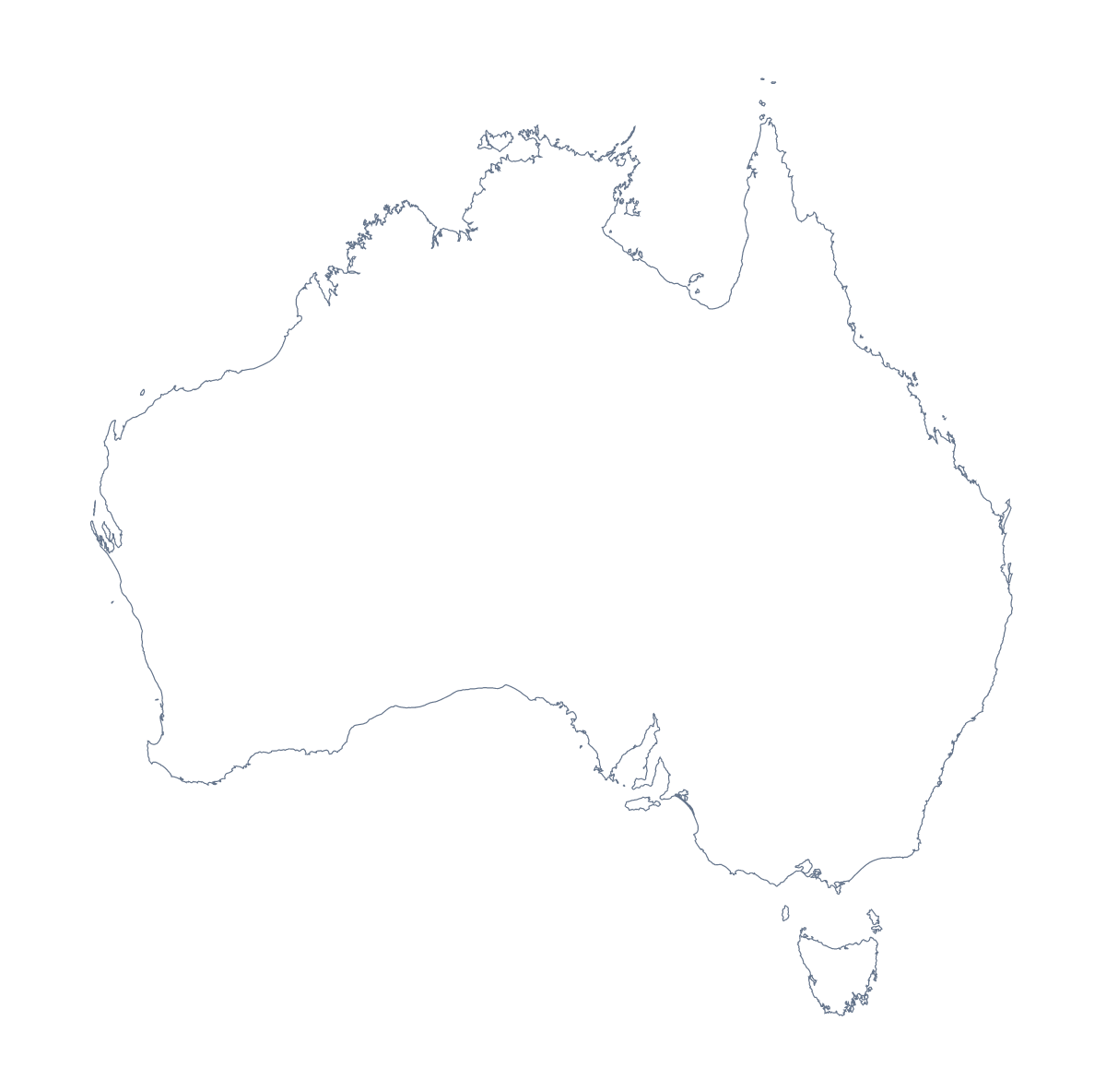
Blank map of Australia
The outline, free as a PNG, SVG or PDF. Label it, colour it in or drop it into a slide.
Using a blank map of Australia
The blank map of Australia tends to end up inside something else: a slide for a regional team, a worksheet on the states, a design that needs the shape of the country. There are two versions here, Outline only and With borders, and each comes as a PNG, an SVG or a PDF.
In a slide or a design
Drop the transparent PNG of the outline onto a title slide and the colour behind it shows through, so the shape sits on your theme with no white box. In Figma, Inkscape or Illustrator, open the SVG, recolour the shape and use it as a cover, a poster background or a logo sketch. The lines stay sharp however large you make it.
On a handout or a display
Place With borders in a document beside a table with a row for each area, or set it on a rollout slide and shade the areas a plan covers. Tasmania, Victoria, South Australia and the Northern Territory are four of the 11, and the list of areas further down this page gives every name to copy into your captions. Younger children can trace the outline onto card and cut it out for a class display.
The two versions
The political blank map of Australia is With borders, which draws the 11 administrative areas and no names, and suits labelling, a coverage slide or a quiz. Outline only suits a silhouette or any design where the inner lines would crowd the page. The PDF prints on A4 or Letter at 100%; the printable map of Australia has the print choices.
For names, colours or pins on the map itself, choose Customise this map. To work from the areas as a set of their own, there is also the blank map of the Australian states.
How to do it in MapMaker
- Choose With borders for the 11 areas, or Outline only for the whole shape.
- Take the PNG for a slide or worksheet, or the SVG for a design tool.
- Place the file on your page and resize it from a corner so the shape stays in proportion.
- Copy the area names for your captions from the list on this page.
- Choose Customise this map to add names or colours, then download from the editor.
The 11 administrative areas on the map
A key for labelling the map by hand.
- Australian Capital Territory
- Jervis Bay Territory
- Lord Howe Island
- Macquarie Island
- New South Wales
- Northern Territory
- Queensland
- South Australia
- Tasmania
- Victoria
- Western Australia
Facts about Australia
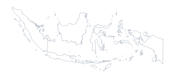
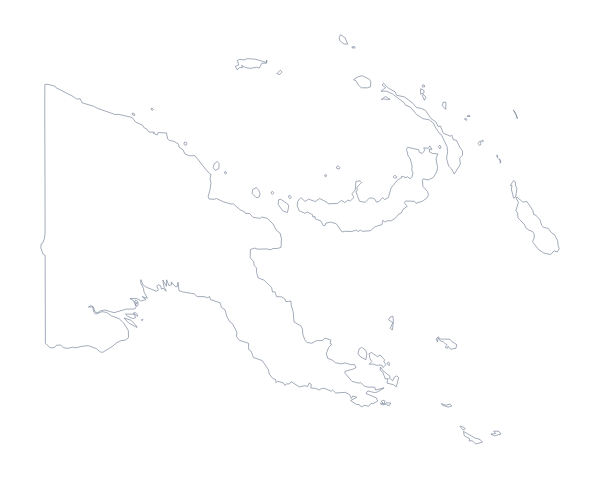
Australia is in Australia and New Zealand. The capital is Canberra. The population is about 25 million (2019 estimate). Australia has an area of about 7,710,000 km². The largest cities are Sydney, Melbourne, Brisbane, Perth and Adelaide. Across the sea, its neighbours include Indonesia and Papua New Guinea. The map divides it into 11 administrative areas.
Maps of neighbouring places
Questions people ask
Is there a political blank map of Australia?
Yes, it is the With borders version: the 11 administrative areas drawn in, with no names. Outline only is the shape of Australia with nothing inside it.
Does the PNG have a transparent background?
Yes. Everything around the shape is see-through, so the map of Australia takes the colour of the slide, worksheet or poster you place it on.
Can I make the outline bigger without it going blurry?
Yes. Use the SVG, a vector file, and scale it to any size in Illustrator, Inkscape or Figma. The PDF is vector as well, so its lines stay sharp when printed.
Is there a blank map of the Australian states on its own?
Yes. The blank map of the Australian states draws the same administrative areas as this page's With borders version, with its own key, if you would rather work from that page.